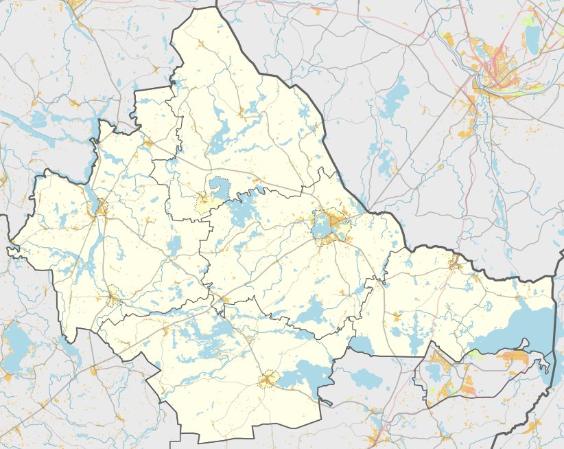

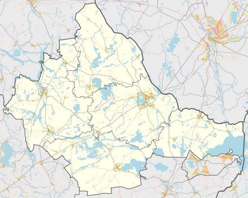
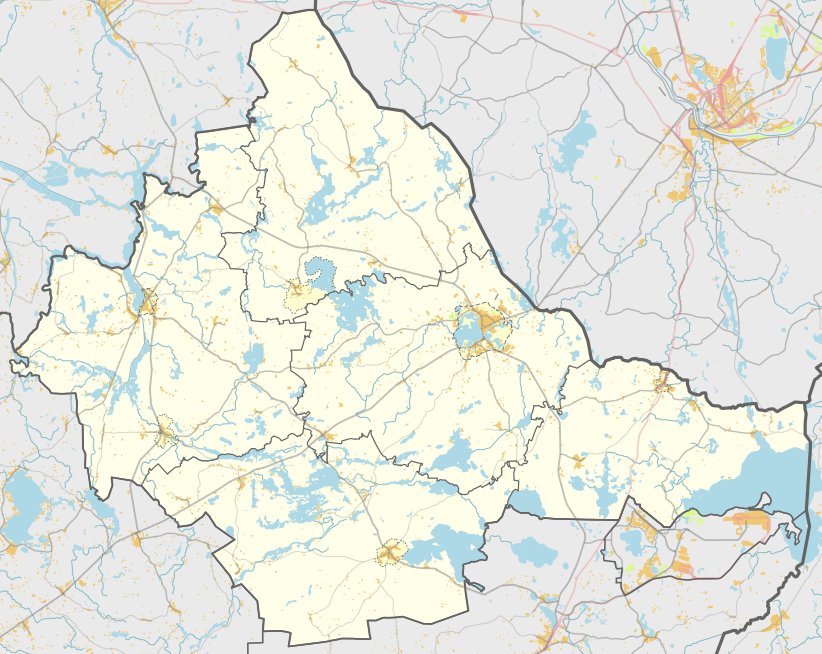
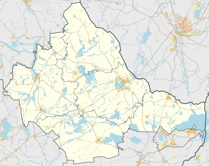
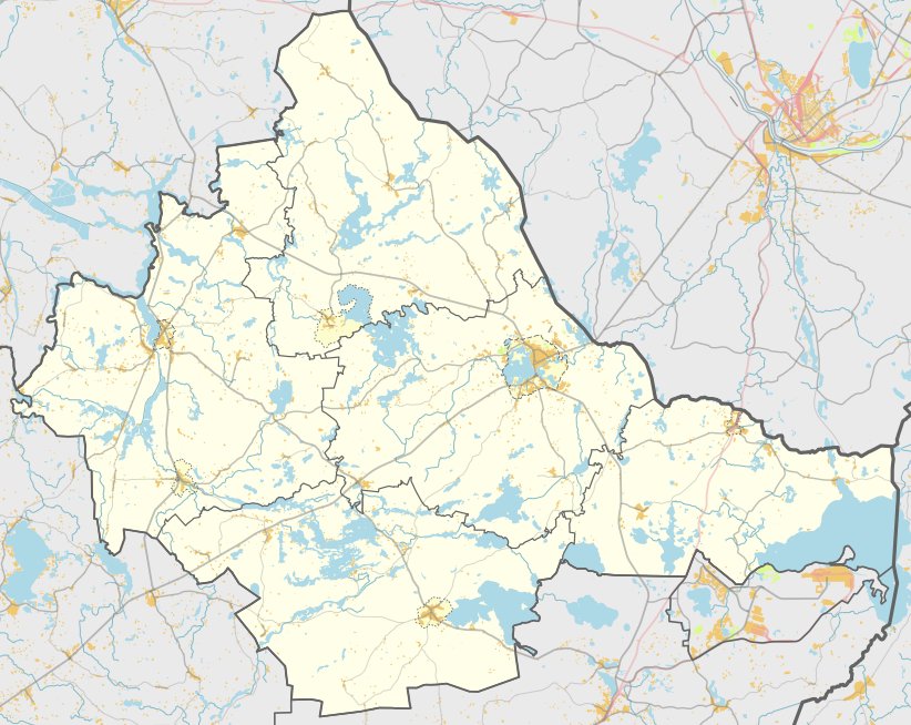
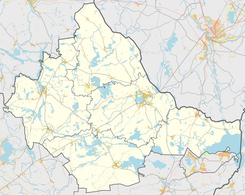
Golubiškių piliakalnis and the settlement of Ažuraisčiai are located in the Zarasai district, about 0.3 km west of the former village of Golubiškių. The site sits on the left bank of a creek, with the northern, eastern, and southern slopes reaching heights of 7.0 to 7.5 metres. The hilltop features a 50 x 30 m enclosure with a cultural layer between 0.4 and 0.5 m thick.
The fortifications on the northwest slope were reinforced with three terraces and two ramparts. The first terrace is 2.5 m below the enclosure surface and measures 7 m wide, with a 30 m long and 2 m high rampart on its outer edge. Further down, at 2 m depth, is a second terrace 3 m wide with a 15 m long and 2 m high rampart, followed by a third terrace.
Remains of an ancient settlement covering about one hectare are located at the eastern, southern, and western foot of the hill. Archaeological finds from this area include iron buckles and ceramics with a distinctive Brūkšniuota surface. The site is dated to the first half of the first millennium and is attributed to the Brūkšniuota pottery culture.
The area is protected as a cultural monument, covering a total area of 31,000 m2. Exploratory archaeological research was conducted in 1958, 1972, and 1975, and the resulting finds are currently preserved in the Lithuanian National Museum.
Sources: Wikipedia, OpenStreetMap, Wikidata, Wikimedia Commons
Written by Nicolo Ciampini
Discuss this with the author and others
No comments yet. Be the first to start the conversation.