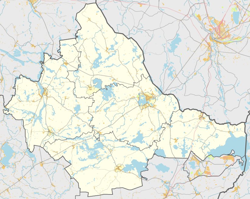

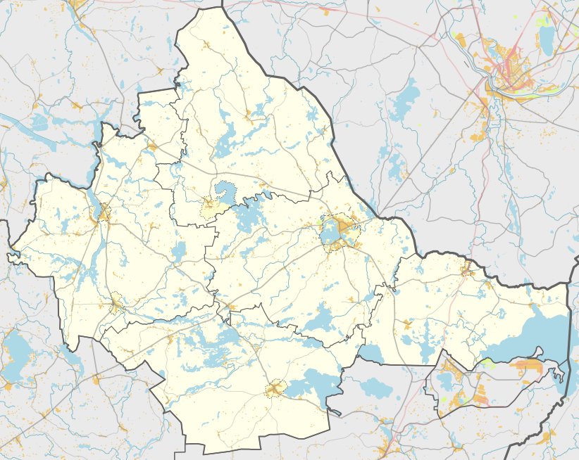
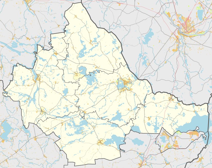
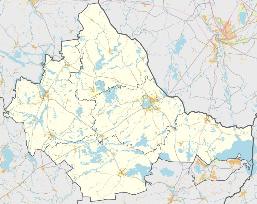
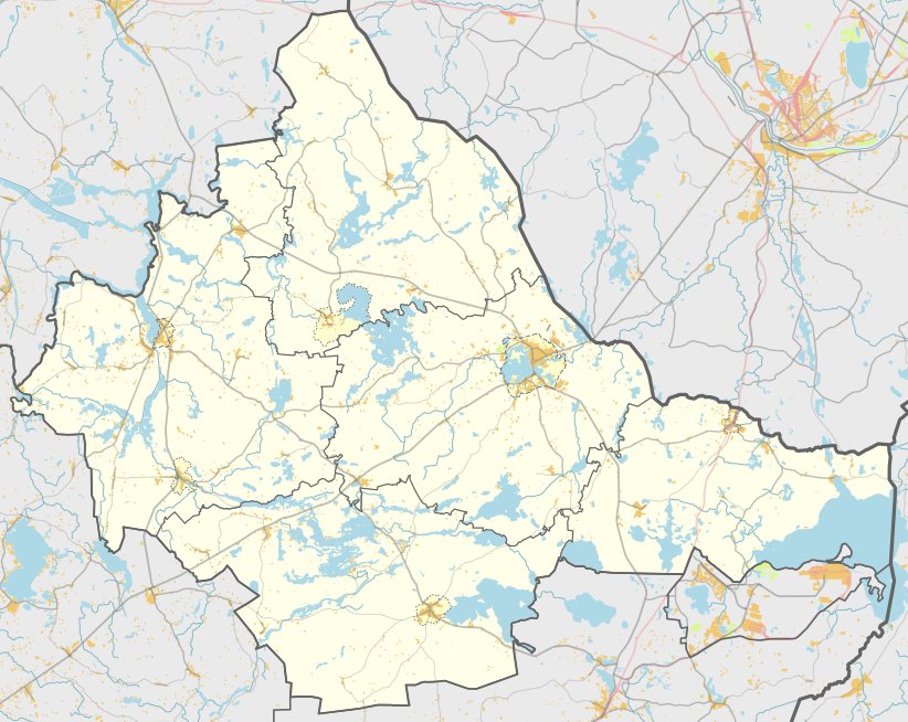
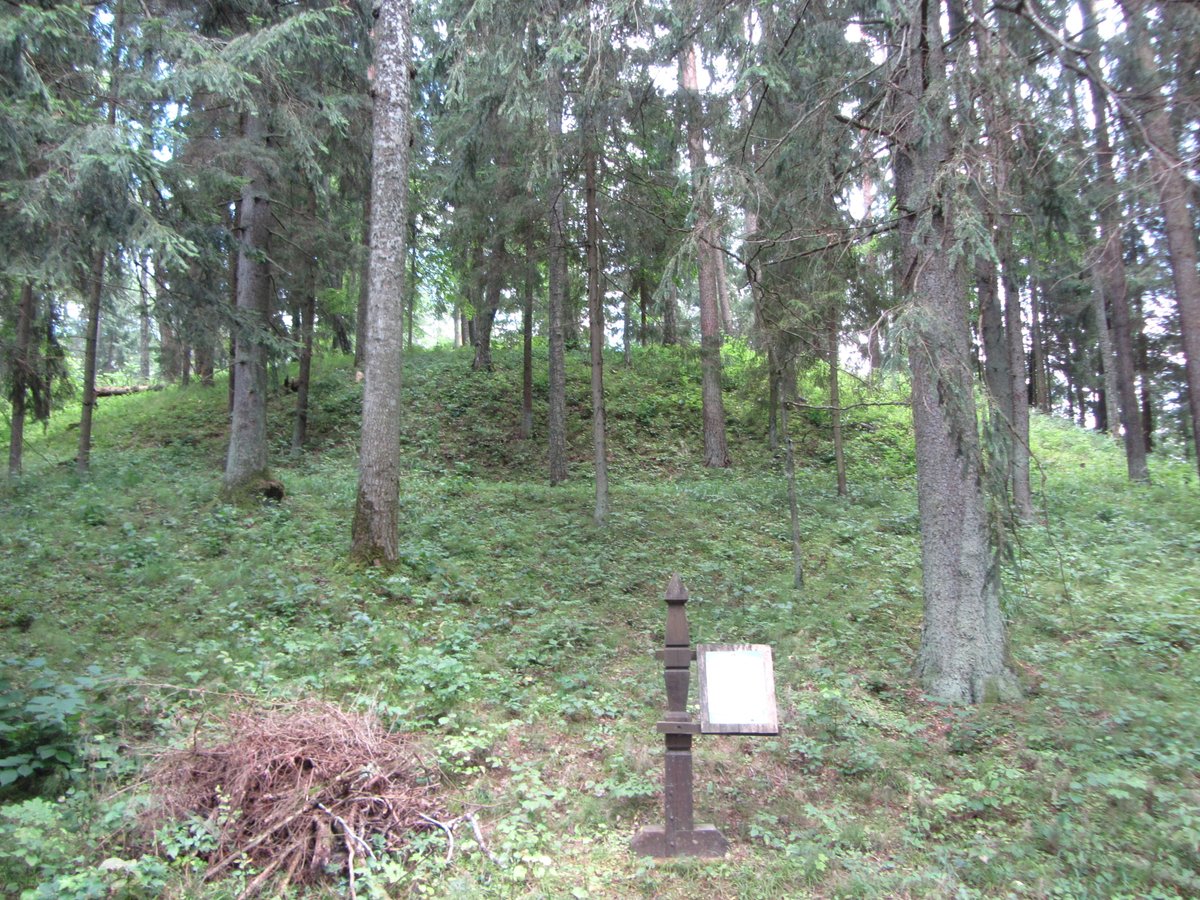
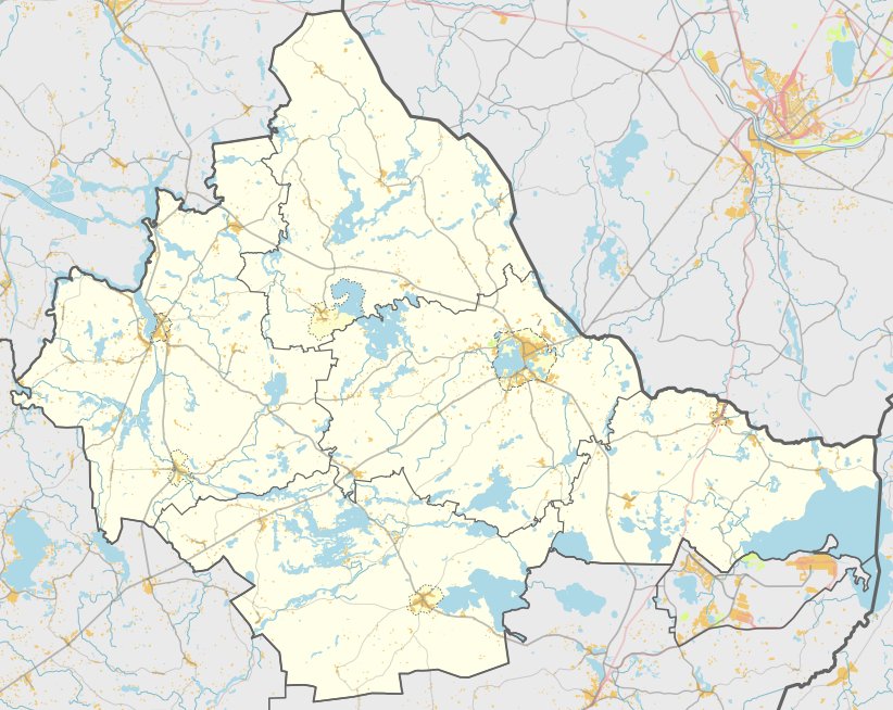
Narkyčių piliakalnis, also known as Juodasis Kalnas, is a hillfort located on the southwestern shore of the lake in the Dusetų eldership. The site is situated between the Vencavai - Sadūnai road and the lake, accessible to the right, north of the road.
The fortification features an oval courtyard measuring 70 by 35 metres, oriented in a north-east to south-west direction. Molded ceramics have been found within the courtyard. On the northwest slope, three metres below the courtyard, there is a terrace 40 metres wide. While the northern slope slopes down only two metres, the western, eastern, and southern slopes rise to heights of 15 to 20 metres.
Archaeological research conducted in 1971 identified distinct layers of black earth in the courtyard and on the slopes. The site dates from the first millennium BC to the beginning of the first millennium AD. It was officially declared a cultural monument in 1998, covering an area of 54,000 square metres.
Today, the site is overgrown with trees and bushes. It remains a preserved archaeological site within a visual protection zone spanning over 2.3 million square metres.
Sources: Wikipedia, OpenStreetMap, Wikidata, Wikimedia Commons
Written by Nicolo Ciampini
Discuss this with the author and others
No comments yet. Be the first to start the conversation.