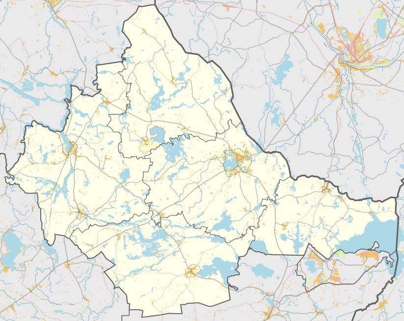

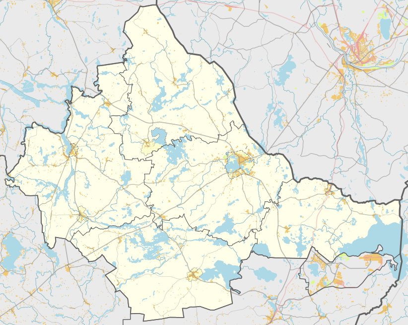
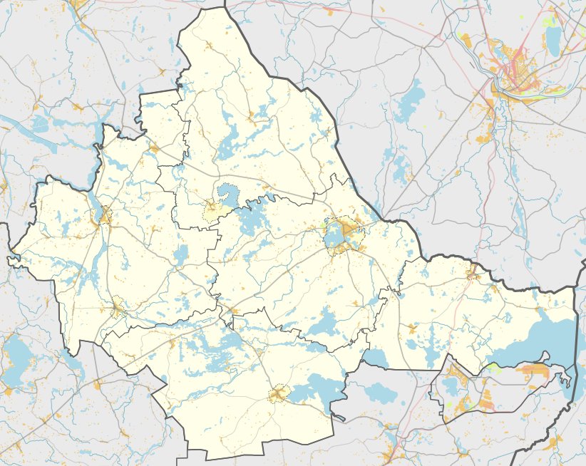
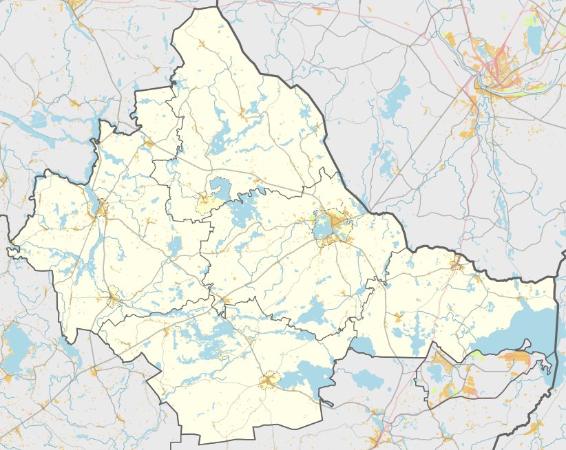
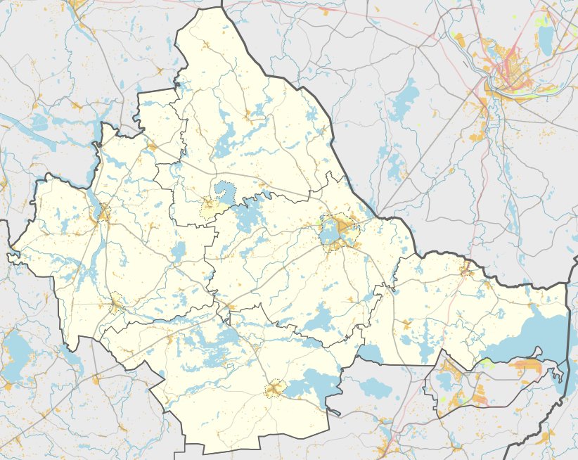
Jatkūniškių piliakalnis, also known as Kiaušinėlis, is an archaeological fortification and settlement site located in the Zarasai district. It sits approximately 0.3 km northwest of the village of Jatkūniškiai and about 0.37 km south of the southwestern shore of Lake Pajuodys. The site is recognized as a cultural monument, protected by the government since 1998.
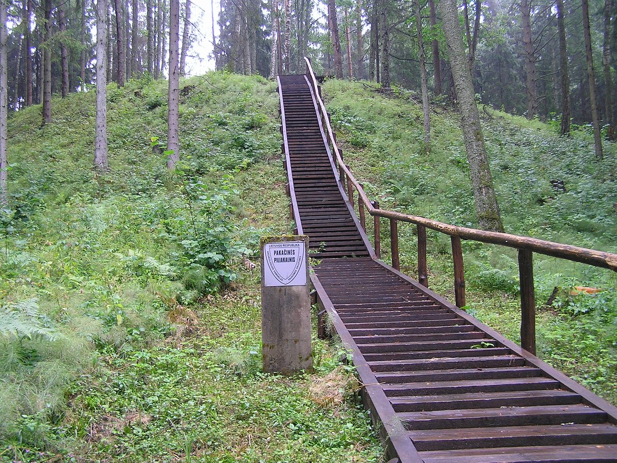
The hillfort is defined by its distinct slopes. While the northern slope is low, reaching only 2 meters in height, the western slope rises sharply to 17 meters. The southern and eastern slopes are 7 meters high and are faced with stone. At the center of these defenses lies an oval courtyard measuring 27 by 15 meters. The overall site, including its protection zone, covers an area of 6.2 hectares.
Archaeological research conducted in 1972, 1975, and 1985 revealed the history of the site. Excavations uncovered pottery with a ribbed surface, pieces of plaster, and clay figurines. These findings date back to the first millennium BC. The settlement remains a significant archaeological site, with the fort's territory covering 16,000 square meters.
Sources: Wikipedia, OpenStreetMap, Wikidata, Wikimedia Commons
Written by Nicolo Ciampini
Discuss this with the author and others
No comments yet. Be the first to start the conversation.