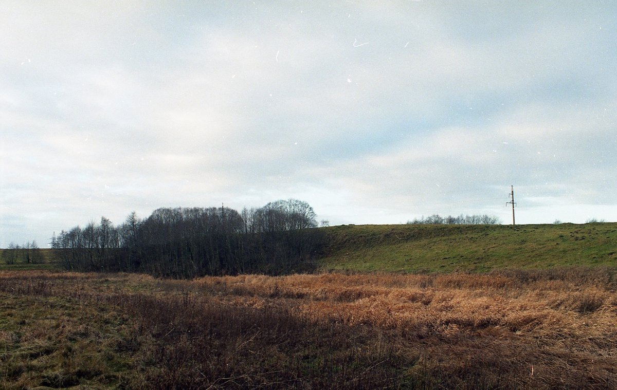

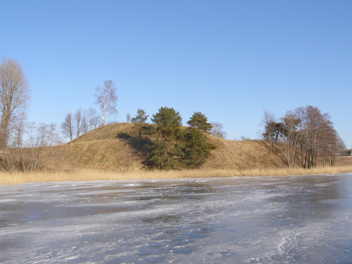
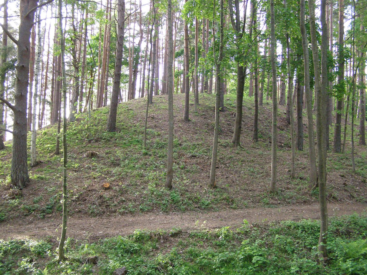
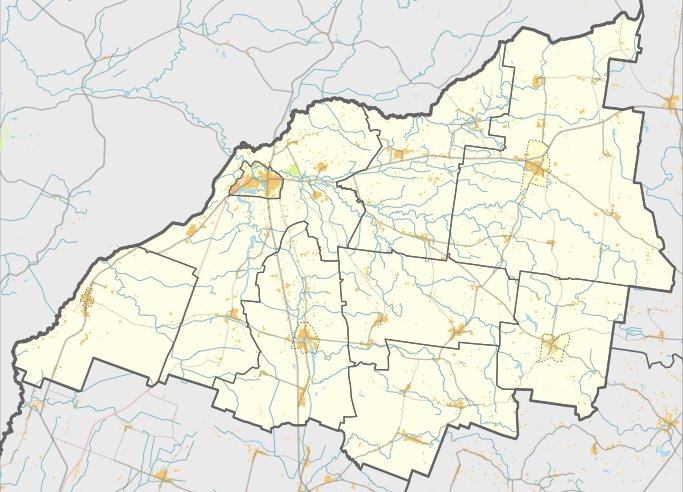
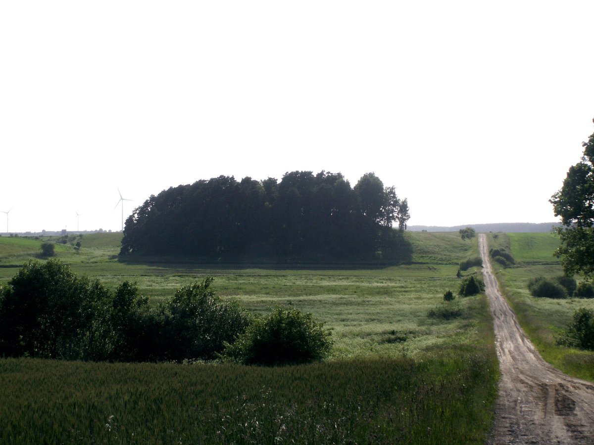
The hillfort of Senosios Įpilties III, also known as Pilale or Marijos kalnelis, is situated on the northeastern edge of the Kretinga district territory in the confluence of the Įpiltis and Graistupio rivers. The triangular site measures 27 meters in length and up to 26 meters in width. Along its northeastern edge sits a rampart 30 meters long, 0.5 meters high, and 15 meters wide, with surrounding slopes reaching heights of up to 6 meters.
To the northeast of the rampart, a 2-hectare area contains traces of a prehistoric settlement in the cultural layer. While the terrain shows signs of erosion and is covered with grass on its southwestern slope, it remains a significant archaeological site. The fortification is dated from the 1st millennium to the 13th century and was declared an archaeology monument of republican significance in 1972.
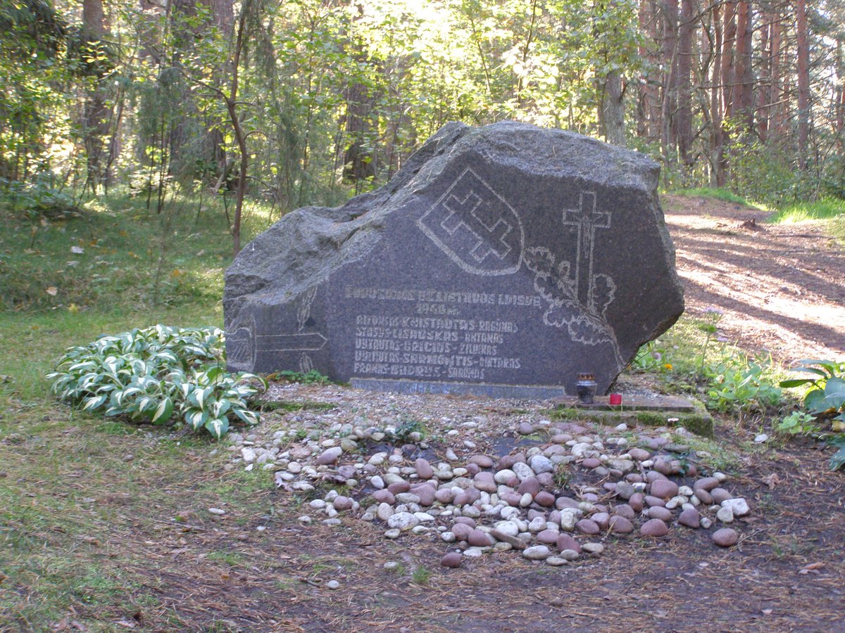
Archaeological expeditions led by Juozas Mickevičius in 1960, Adolfas Tautavičius in 1963, Romas Olišauskas in 1982, Vilnius Morkūnas in 1992, and Gintautas Zabiela in 1996 have explored the site. These excavations uncovered fragments of burnt clay. West of the hillfort on the opposite slope of the Graistupio river stands the mythological Aukuro akmuo, from which a spring flows.
Sources: Wikipedia, OpenStreetMap, Wikidata, Wikimedia Commons


Written by Nicolo Ciampini
Discuss this with the author and others
No comments yet. Be the first to start the conversation.