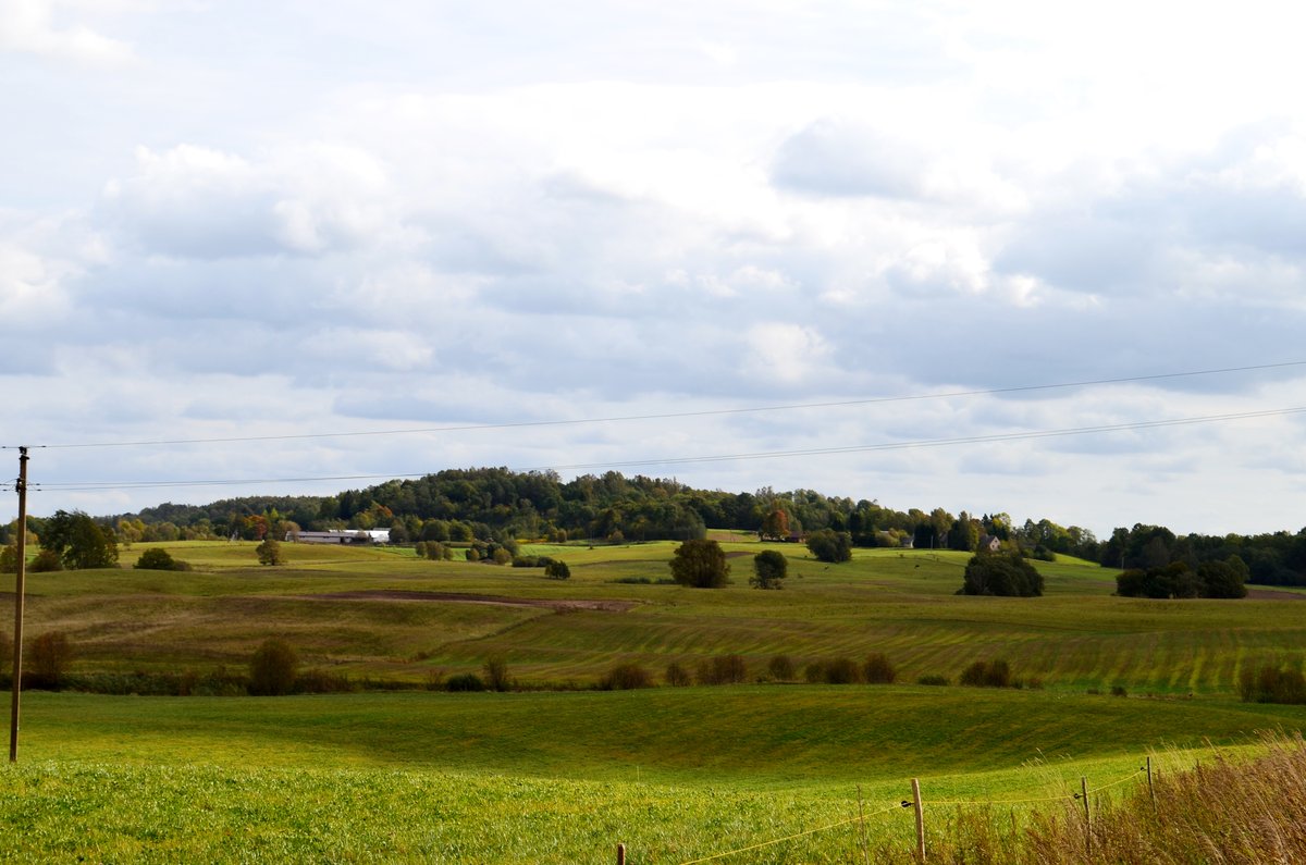

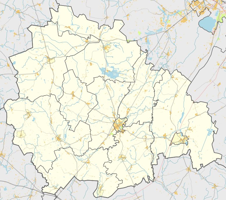
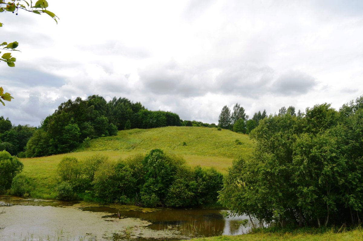
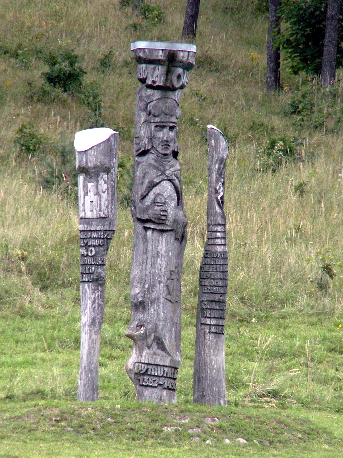
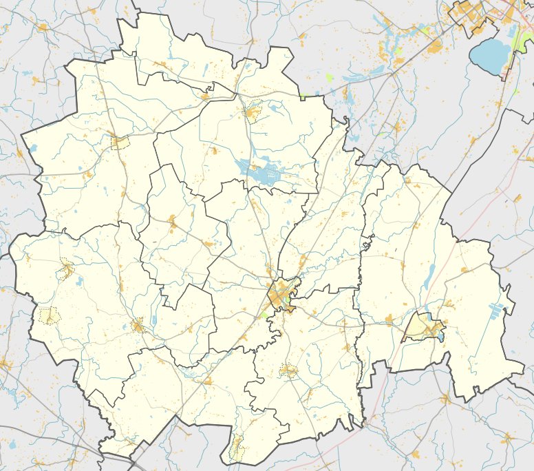
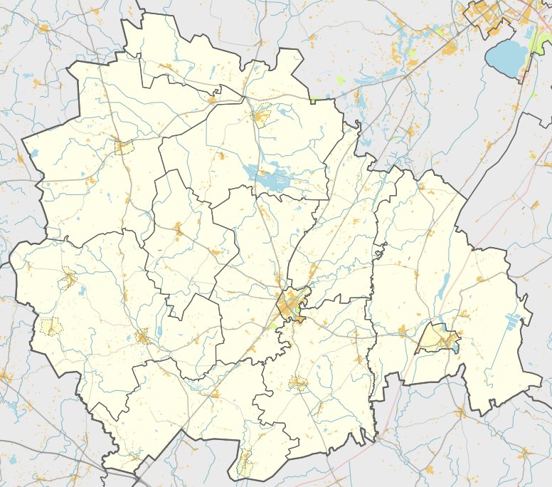
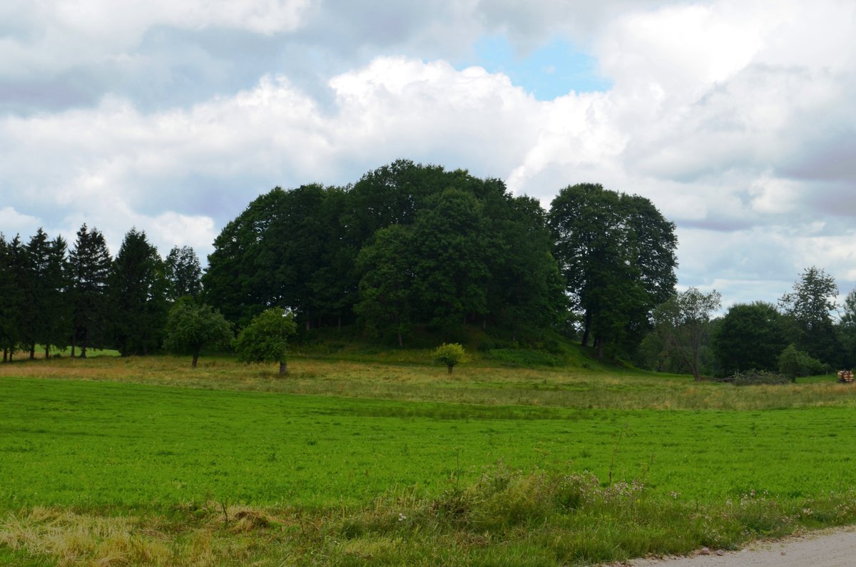
Girgždūtės kalnas is a large hill fort situated in the highlands of Žemaitija, within the territory of Telšiai district near the village of Pagirgždūtis. It is one of the largest hill forts in the region. The site is protected as a landscape historical preserve and can be reached via a forest path following the 4617 road from Varniai toward Karklėnai.
The fortification is situated on a high point of a moraine hill, reaching an altitude of 228 meters. The clearing is oval-shaped, measuring 150 x 50 m, and is slightly bent to the south. It is surrounded by different rows of earthworks: one row to the northwest and two to the southeast. To the southeast, the area is reinforced with two earthworks and a ditch between them, while the northwest side features a single earthwork and a ditch.
Archaeological research conducted in 1948 and 1969 dates the site to the beginning of the 2nd millennium through the 13th century. The site is characterized by steep slopes and a plateau covered with grass, while nearby landmarks include a dried-up pond area that may have once served as a sacred site.
Sources: Wikipedia, OpenStreetMap, Wikidata, Wikimedia Commons
Written by Nicolo Ciampini
Discuss this with the author and others
No comments yet. Be the first to start the conversation.