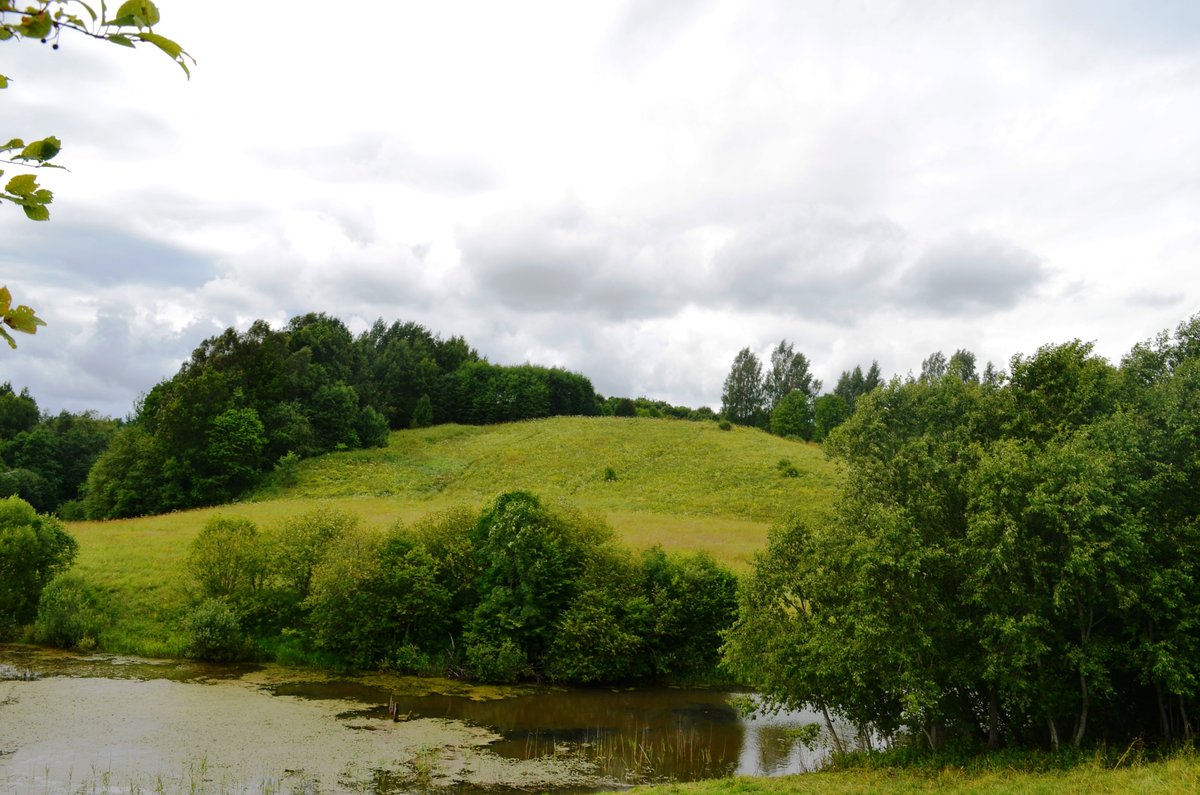

XIV century records of the Crusades mention a fortress called Parsepil, located in the land of Medininkai. These records also mention the Sietuvos kūlgrinda, which is located between Paršežerio and Lukšto lakes, about 1 km northeast of the hillforts.
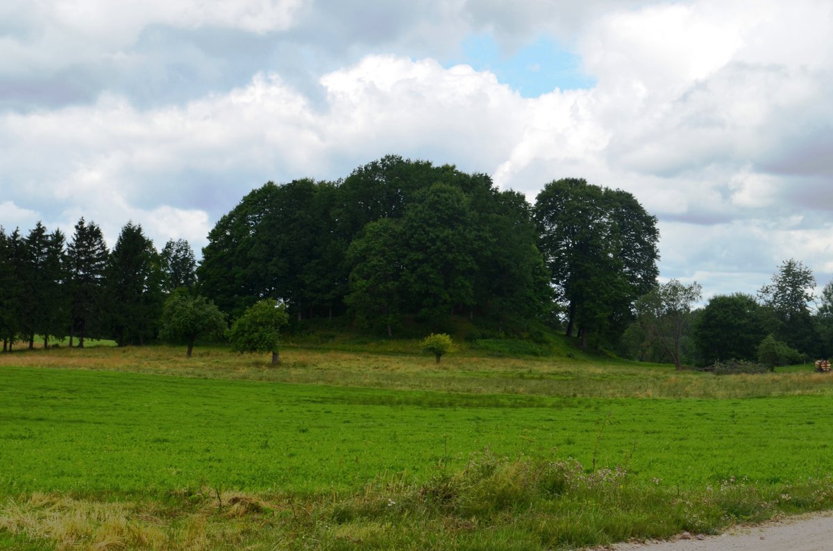
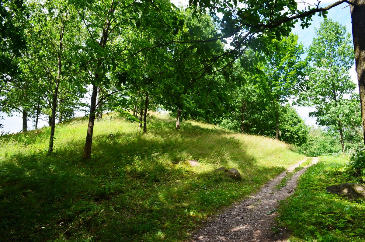
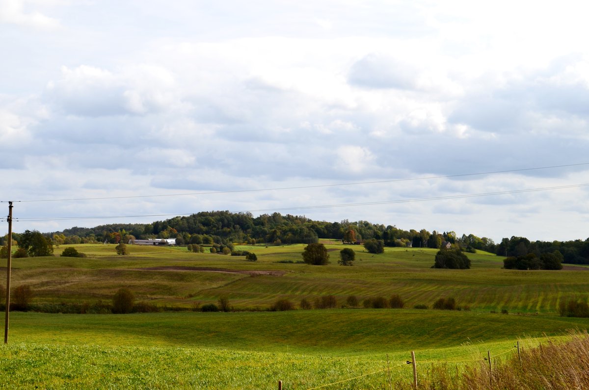
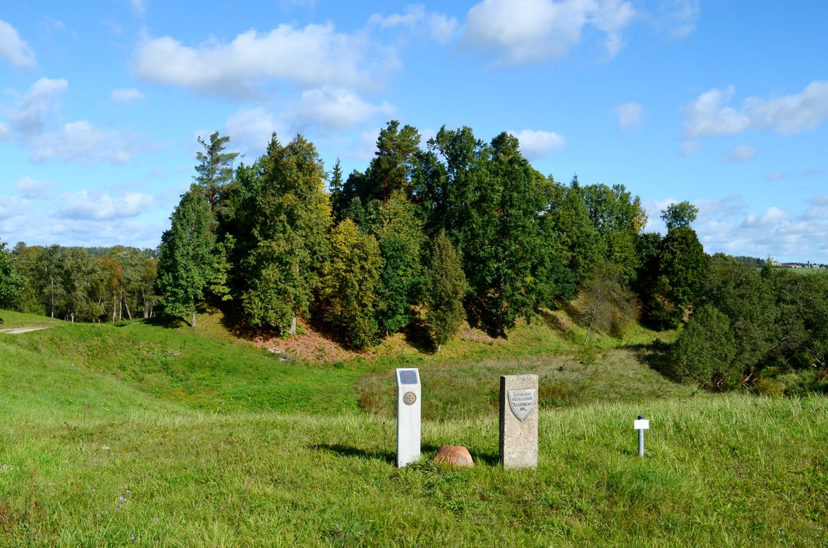
There are two distinct sites here. The first is Pilies kalnas, a 15–20 metre high mound west of Paršežerio lake. It features a courtyard measuring 100 x 40–50 m with a slightly sunken middle. Stone axes and various metal artifacts have been found here, though the outer fortifications were likely destroyed by plowing. The hill has a 2 metre high northern slope leading to a 20 metre wide terrace, which leads to another 6 metre wide terrace.
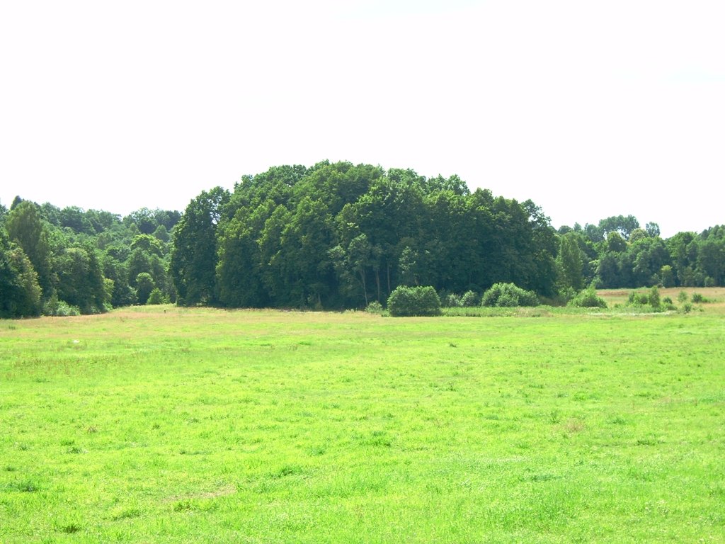
The second site is Paršpilio kalnas, located southeast of the first one beyond the Melnyčios stream. This lower hill is surrounded by swampy land and has an oval courtyard measuring 100 x 120 m with a clear cultural layer. Archaeologists discovered a stone table, pottery shards, and a ditch 8 metres below the courtyard, followed by a 1.5 metre high, 7 metre wide mound. Both sites are located in the Varniai regional park near the village of Burbiškai.
Sources: Wikipedia, OpenStreetMap, Wikidata, Wikimedia Commons
Written by Nicolo Ciampini
Discuss this with the author and others
No comments yet. Be the first to start the conversation.