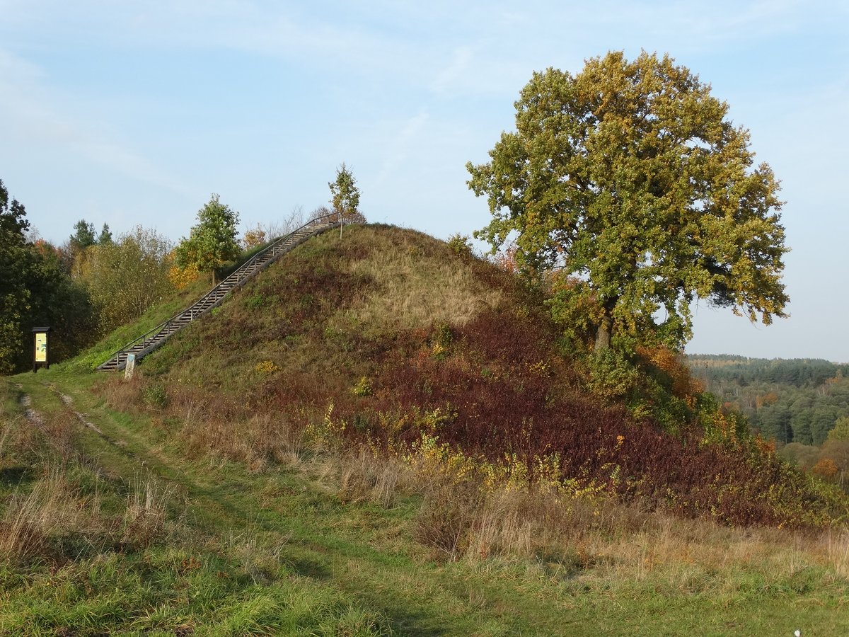

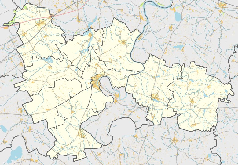
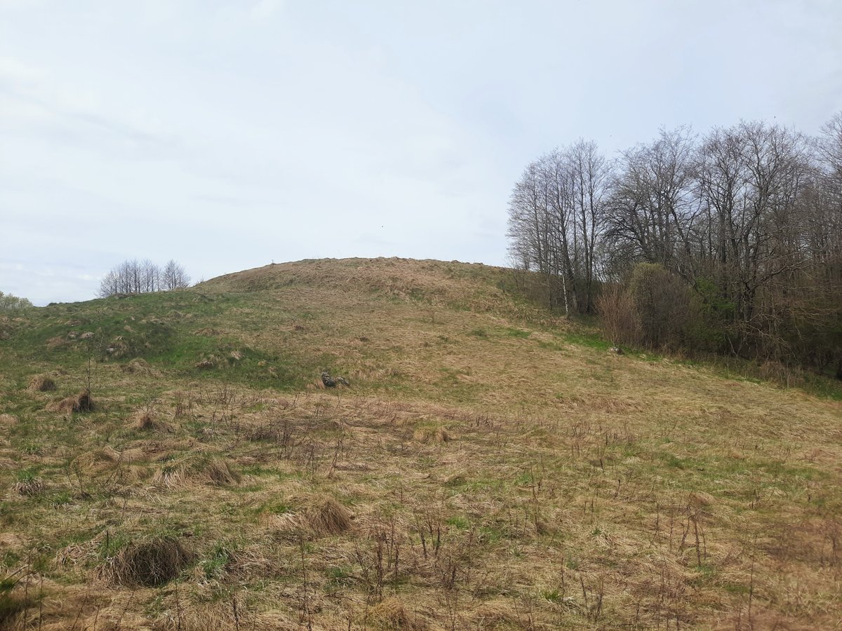
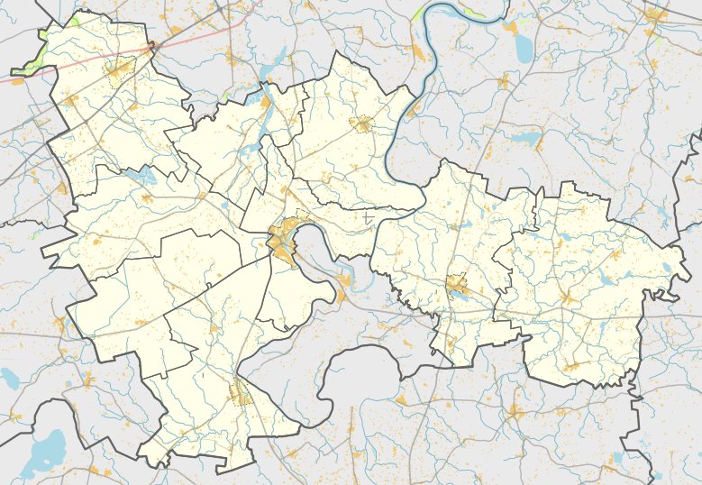
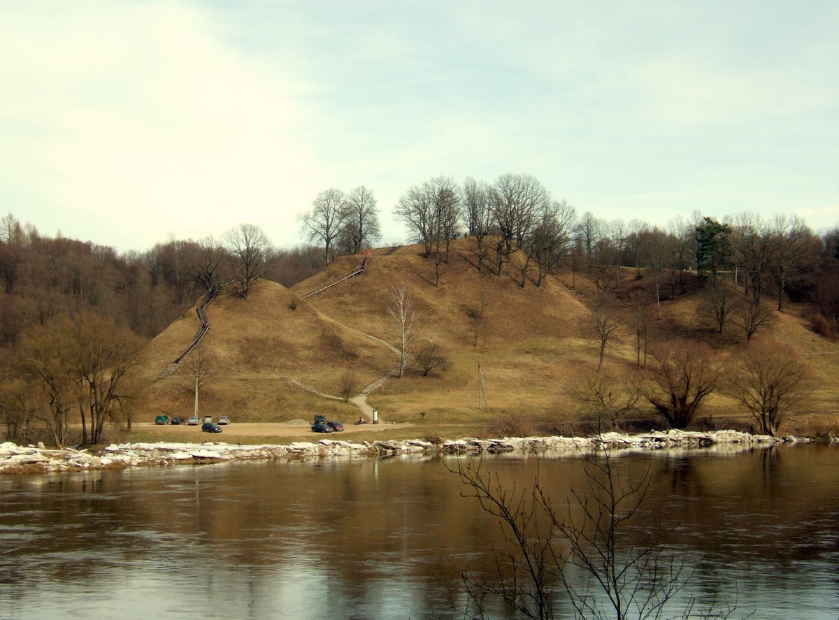
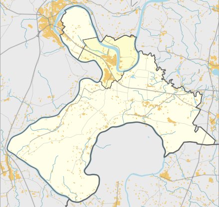
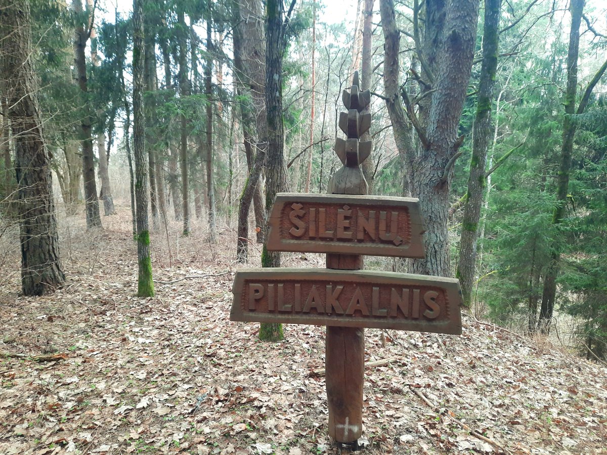
Rumbonių piliakalnis su gyvenviete, Mikutiškiai, is a unique cultural object (MC code 22606) located in the bend of the Nemuno river and the right bank of the Pilupis. It is reached from the Alytus - Panemuninkai road, turning right toward Praniūnai (Kibirkščiai), and is located a little to the left after 800 m. The hillfort features an oval area, 10x9 m in size, which was once surrounded on all sides by ramparts. Today, only parts of the rampart remain, marking the area from the east, south, and west. The rampart stands 1.5 m high in the south and 4.5 m high in the west, with a width of 7 m in the south and 20 m in the west. The eastern part of the rampart is up to 2.5 m higher, giving the hillfort a silhouette like a bell when viewed from the side.
Sources: Wikipedia, OpenStreetMap, Wikidata, Wikimedia Commons
Written by Nicolo Ciampini
Discuss this with the author and others
No comments yet. Be the first to start the conversation.