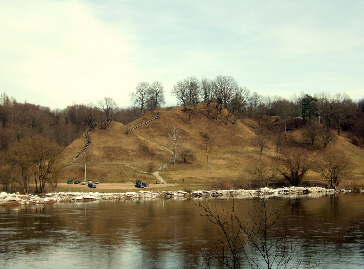
Alytus Piliakalnis is a mapped historic archaeological site, located on the Nemunas river bank and the confluence of Alytupio slėnis and daubos rivers. It is approximately 1.1 km from Alytus city. Surrounded by rivers on three sides, the hillfort stands approximately 20-25 meters high. Its northern part is 40 meters long and 2.5 meters high, while the square-shaped hillfort itself measures 25 x 15 meters. A partition of the hillfort not used for defense separates from the hill.The northern part of the hillfort is 40 meters long and 2.5 meters high.
The hillfort dates back to the Iron Age – 14th century. Approximately 1 hectare of land surrounding the hillfort is a site of 7th-14th century settlement. Remains of pottery, tools, and dwellings from the 7th to the 14th century have been found in the settlement. Structures and hearths have also been discovered in the settlement. An earlier wooden castle stood on the site of the hillfort in 1377 and 1382, and the Alytus castle existed from 1384 to 1387.
Sources: Wikipedia, OpenStreetMap, Wikidata, Wikimedia Commons
Written by Nicolo Ciampini
Discuss this with the author and others
No comments yet. Be the first to start the conversation.