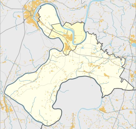

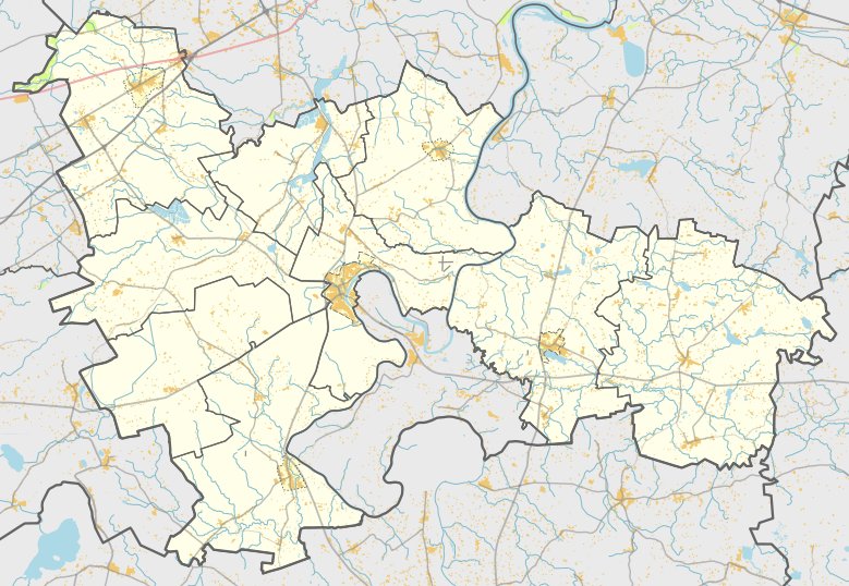
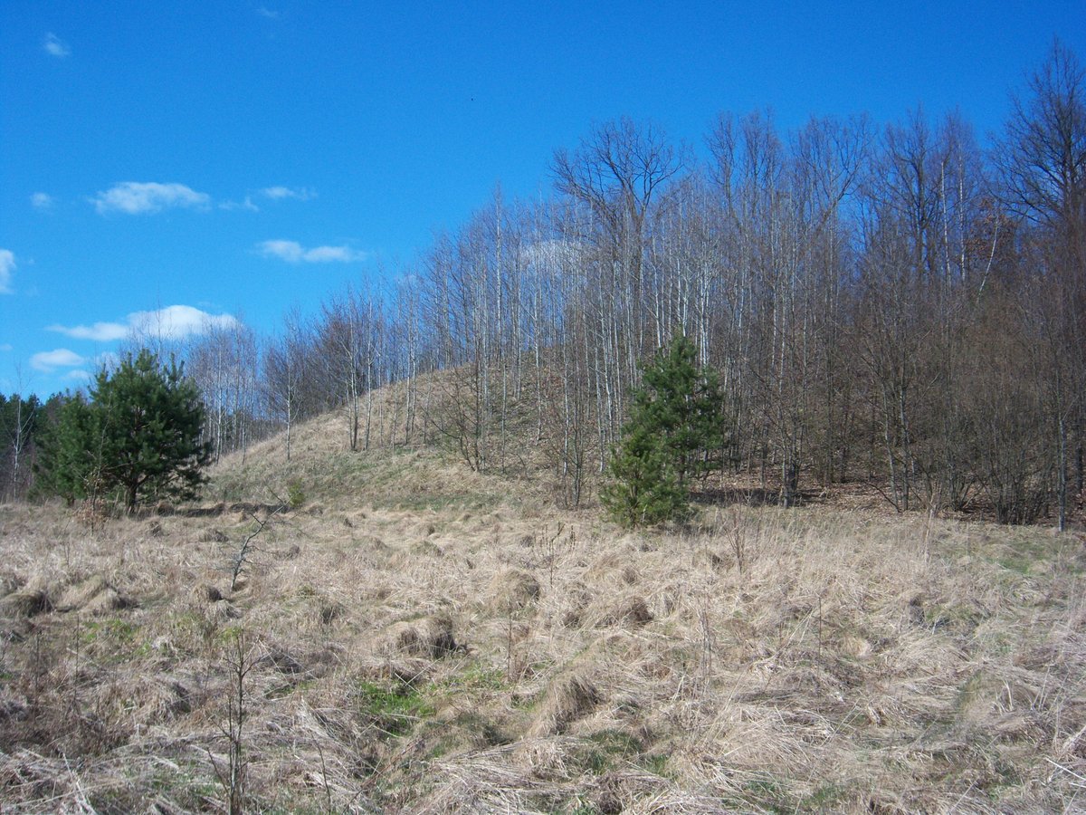
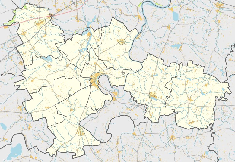
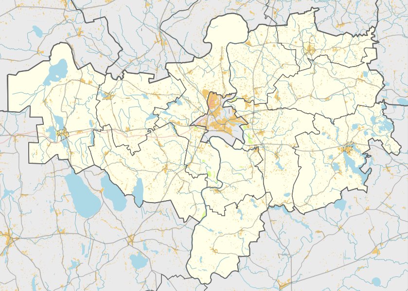
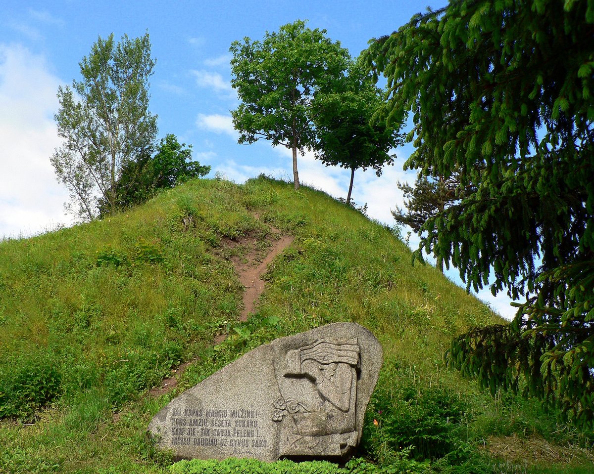
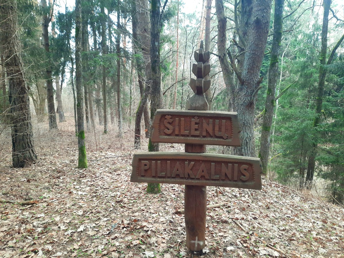
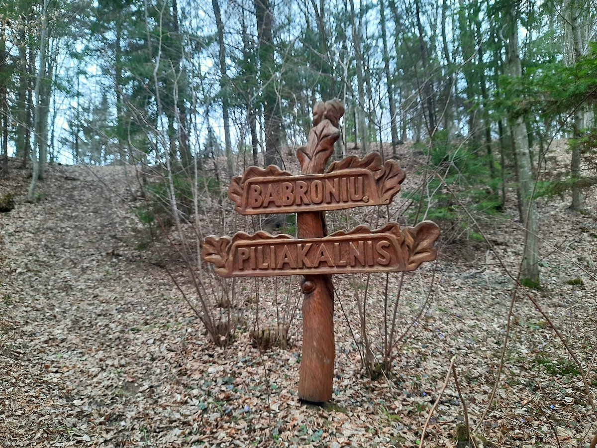
Nestled in the woods, close to Šaltinėliai, within Birštone municipality, lies an enigmatic relic, commonly known as Šaltinėnų piliakalnis or Aštrusis kalnas. To find it, one must travel on the Nemajūnai–Siponys road, turn right past Šilėnai, and travel 400 m to the homestead. The site is located to the northwest of the farm.
The mound features an oval clearing measuring 25x20 meters, oriented in a northwest–southeast direction. On the northwest side, there is a 0.5 m high, 9 m wide embankment, with an outer slope 2 m high descending into a 10 m wide ditch. Behind this, there is a 15 m wide, 0.3 m high natural-looking hollow, resembling a cleared embankment. The slopes are 12 m high. The mound is covered with pines and dense bushes.
In 1953, the History Institute surveyed the mound, which dates back to the first millennium. The site has an area of 1.30 hectares and was officially registered in the cultural heritage register on September 26, 2007.
Sources: Wikipedia, OpenStreetMap, Wikidata, Wikimedia Commons
Written by Nicolo Ciampini
Discuss this with the author and others
No comments yet. Be the first to start the conversation.