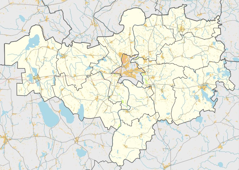

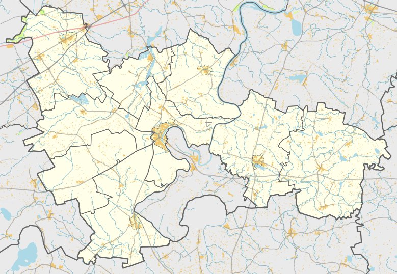
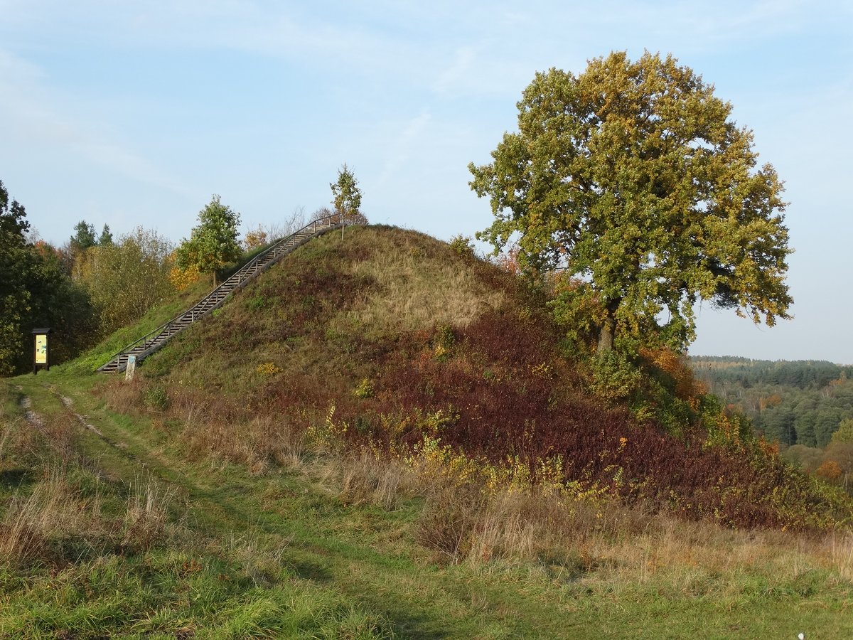
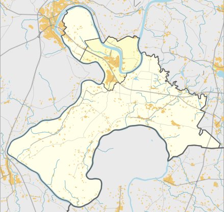
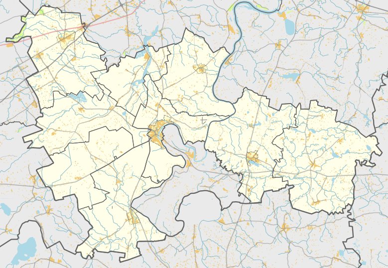
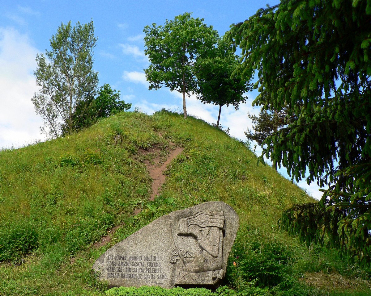
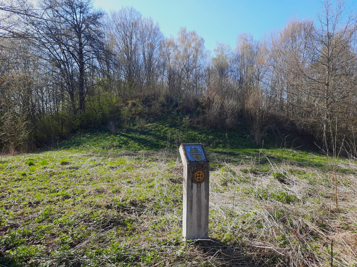
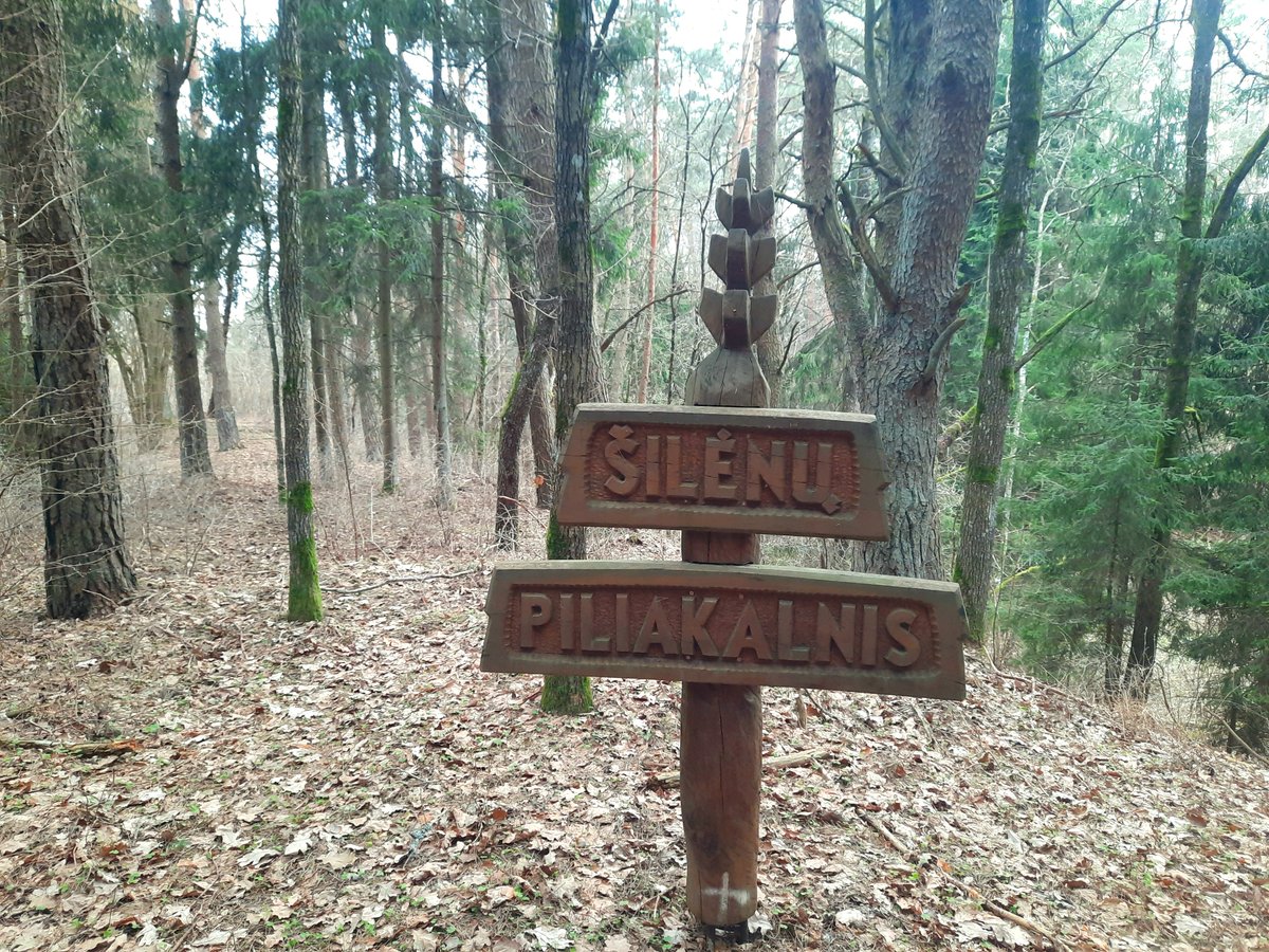
Margaravos piliakalnis - also known as Raudonkalnis, Dubiai, or Kederiškiai - is an archaeological hillfort located in the Alytus district. It sits on a high point on the left bank of the Nemunas river, near the Dubenėlė stream. To reach the site, one must travel along the Panemuninkai - Margarava road to its end, turn right, and follow a field path for 300 metres past a farmstead. From there, the site is located 30 metres to the west in the brush along the field edge.
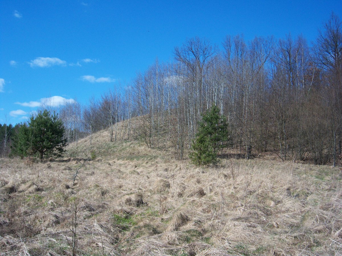
The site dates from the middle of the first millennium to the beginning of the second millennium. The once long courtyard, oriented east-west, has been almost entirely washed away by the Dubenėlė stream. Only a small section remains: an 18-metre long and 13-metre wide earthen bank. This bank rises 4 metres high into a ditch that reaches 1.3 metres deep. On the southern side of the ditch, a deeper trench has been cut into the earth.
Archaeological evidence includes burnt clay found in pits within the fortification walls. To the east lies a settlement covering 0.2 hectares, where coarse pottery has been discovered. Today, the cultural monument, which covers a total area of 8100 square metres, is overgrown with shrubs and deciduous trees.
Sources: Wikipedia, OpenStreetMap, Wikidata, Wikimedia Commons
Written by Nicolo Ciampini
Discuss this with the author and others
No comments yet. Be the first to start the conversation.