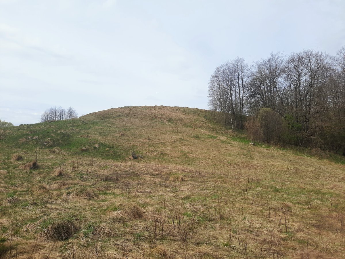
The hillfort, known as Bazorų piliakalys, is situated in a separate valley on the left bank of Punelė, turning sharply 300 meters to the southwest towards the hillfort. The hillfort is oval-shaped and surrounded by earthwork ramparts – from the west towards the southwest, approximately 56 meters long, 15 meters wide, and 3 meters high. The hillfort has sunken in the middle, as it was long ago trampled, a part of the rampart's edge was destroyed by plowing. The hillfort had a 0.2 hectare residential area and a fort, Bazorų kapinynas, to the east. The hillfort was revealed by the Institute of History in 1972 and is dated to the Iron Age.
Sources: Wikipedia, OpenStreetMap, Wikidata, Wikimedia Commons
Written by Nicolo Ciampini
Discuss this with the author and others
No comments yet. Be the first to start the conversation.