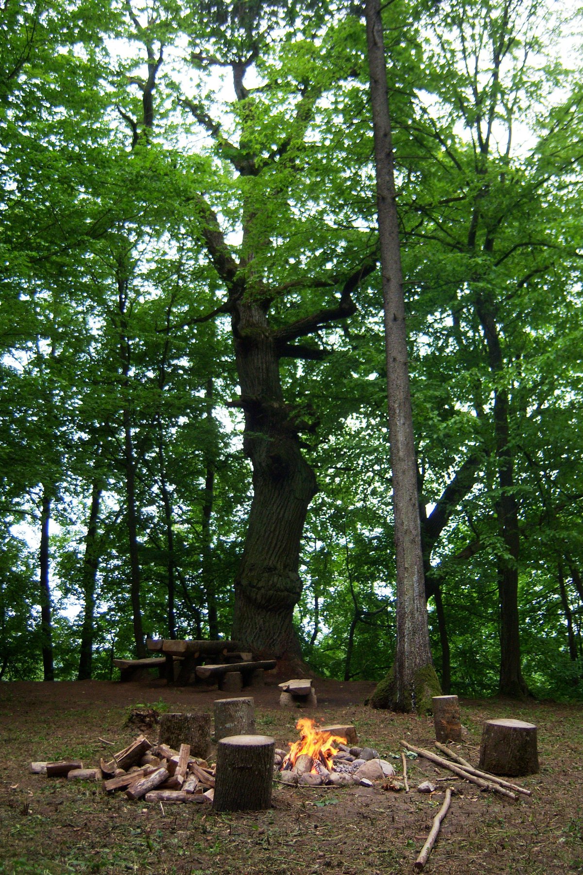

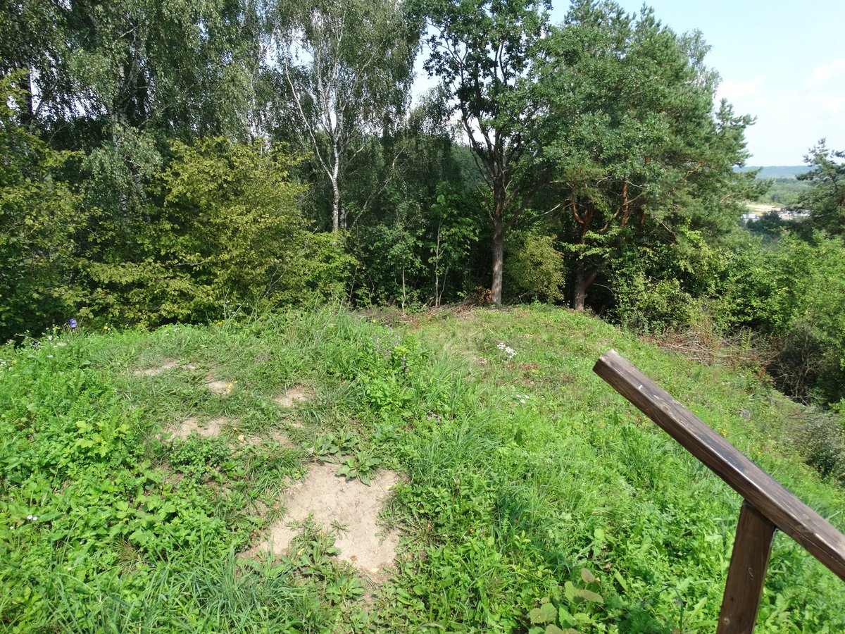
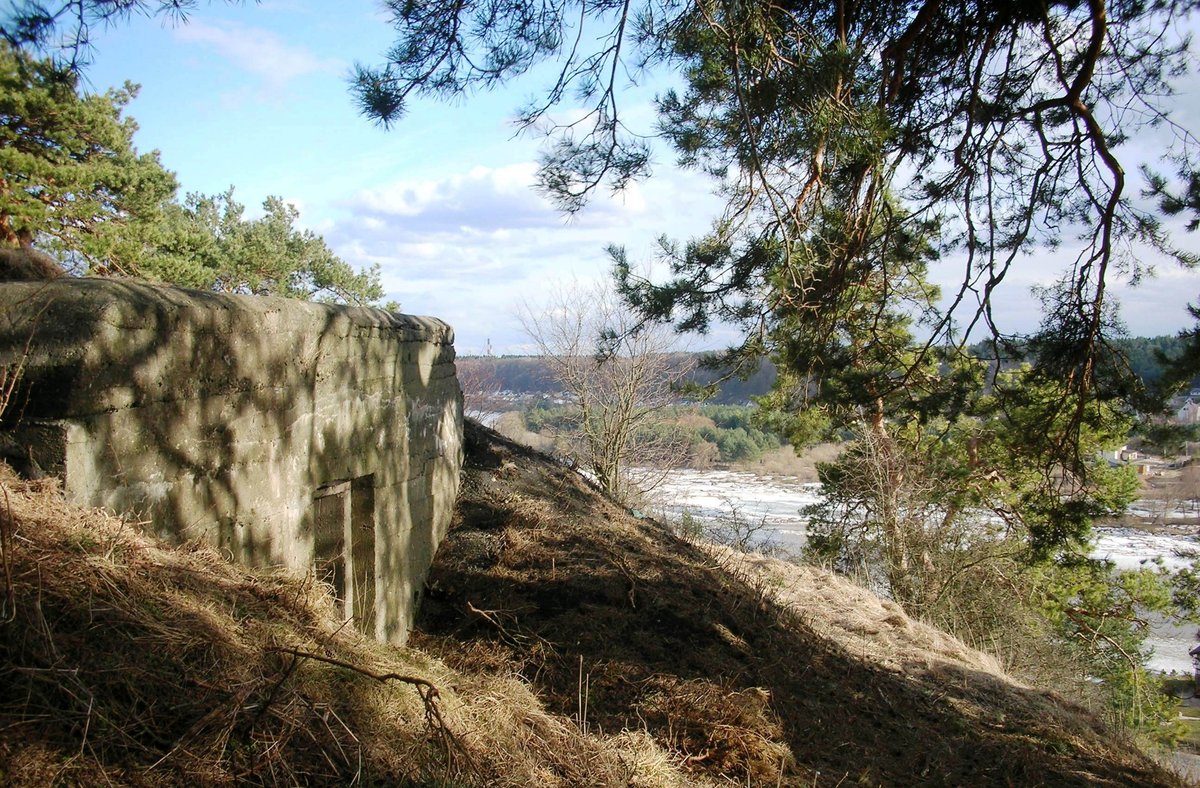
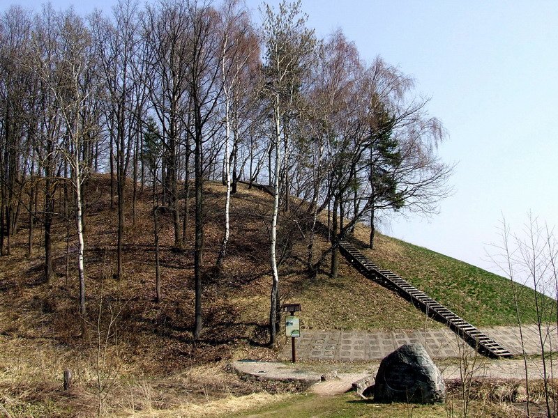
The hillfort at Mažųjų Žinėnų is situated on a sharp ridge at the confluence of the Neris and Šlėna rivers. The site is characterized by a triangular clearing, measuring 160 by 59 metres, which rises 45 metres toward the center. This area is protected by a complex system of ramparts and ditches.
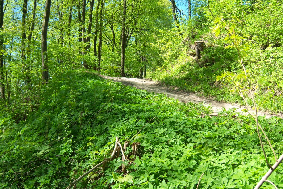
To the north, a 75-metre long embankment stands 3.5 metres high, with a 4-metre high upper rampart. In the western slope, located 7 metres below the clearing, lies a 90-metre long rampart. Further down the southern slope, 15 metres below the clearing, is a 130-metre long rampart that rises toward the northwest and forms a 4-metre wide terrace. There is a 25-metre wide unfortified gap between some of these ramparts, while the ramparts in the western slope are arranged in a way that suggests a former entrance to the fort.
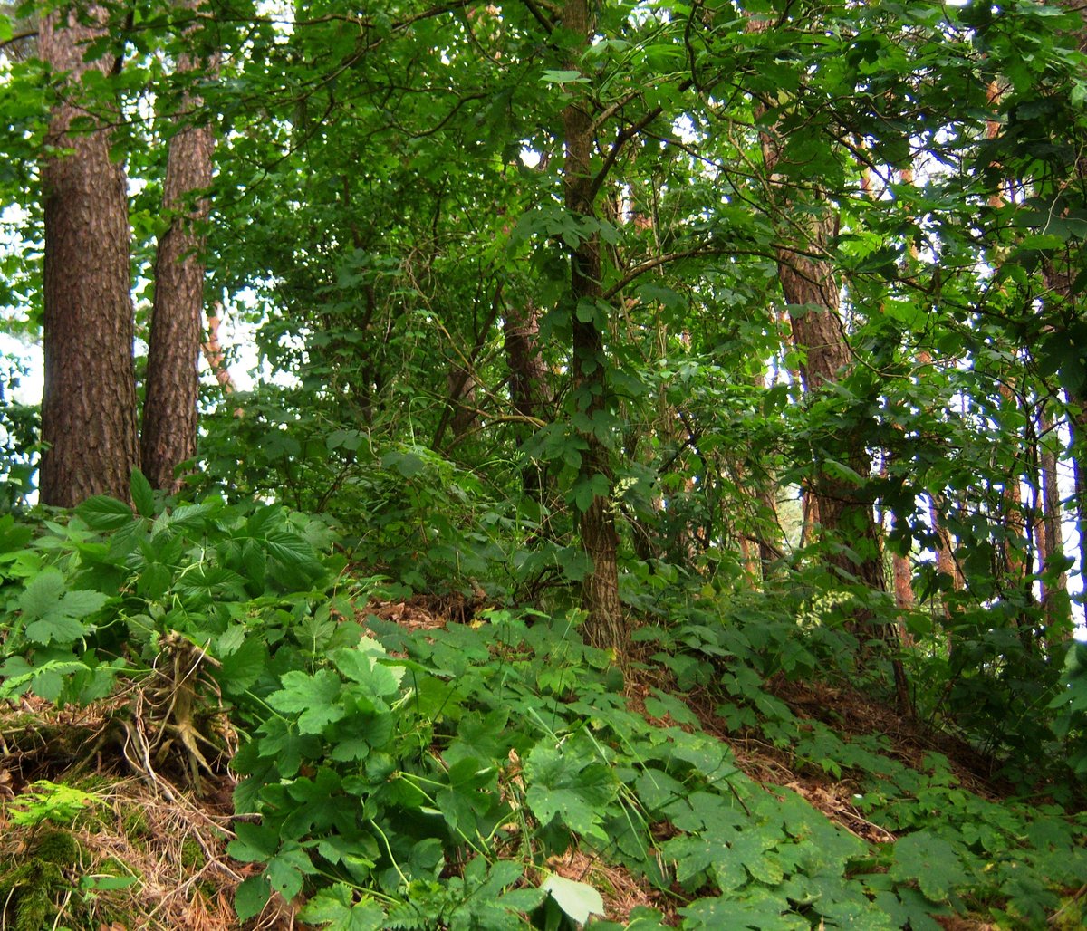
The terrain is marked by steep slopes that drop down to 43 metres toward the Neris River. Currently, erosion is active along the length of the hillfort, having already caused the eastern part of the clearing to collapse and formed a 33-metre high cliff. The site is covered with birches and pines.
Sources: Wikipedia, OpenStreetMap, Wikidata, Wikimedia Commons


Written by Nicolo Ciampini
Discuss this with the author and others
No comments yet. Be the first to start the conversation.