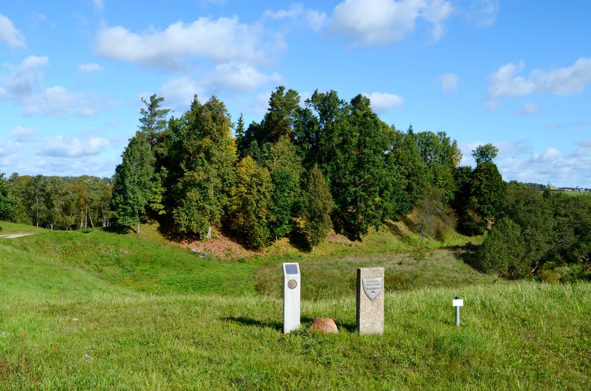

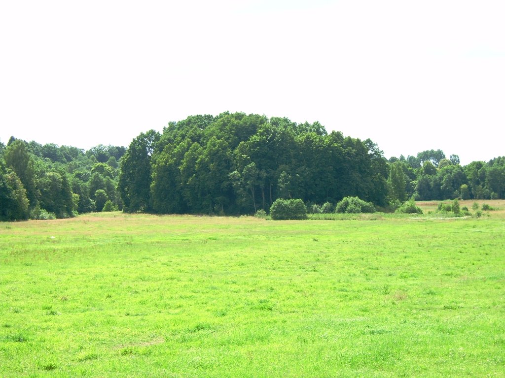
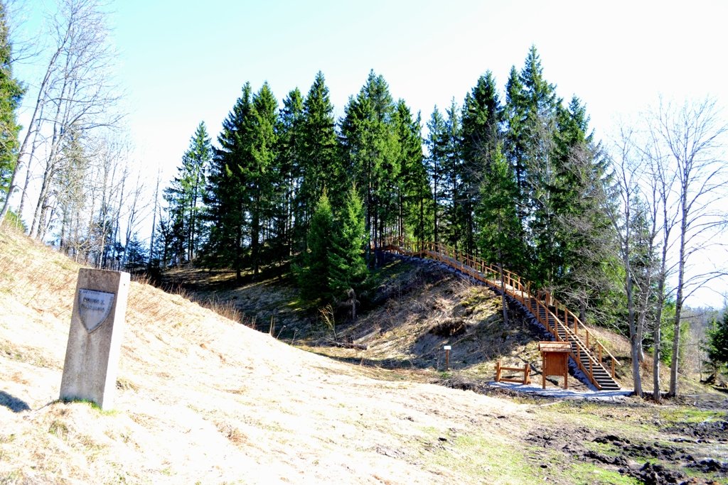
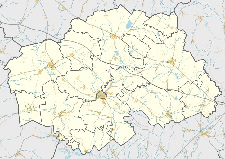
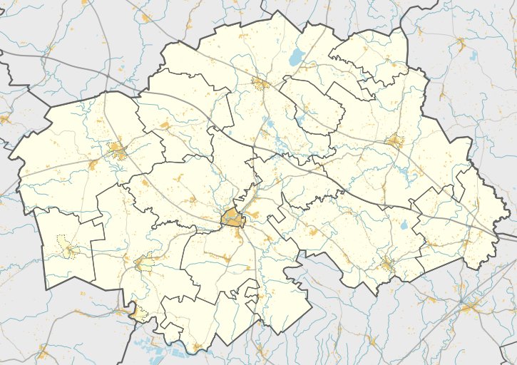
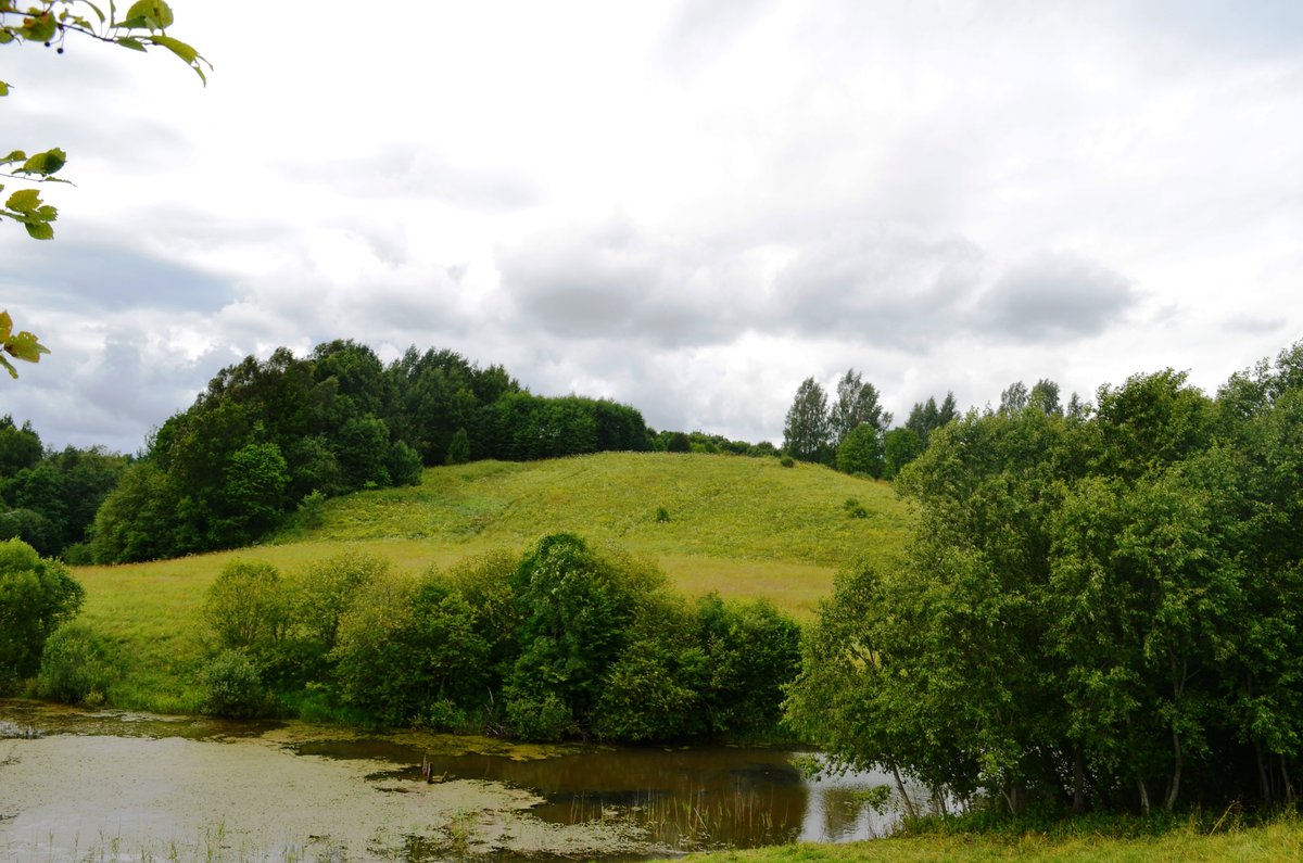
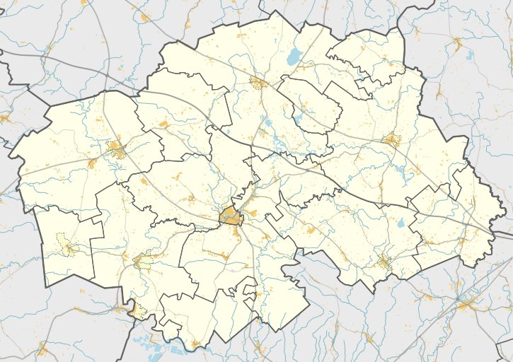
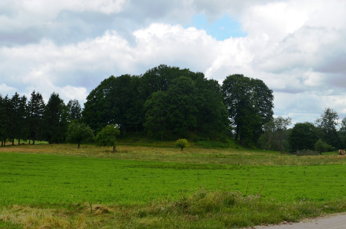
Rubinavo piliakalnis, also known as Šarūnkalnis, is located in the village of Rubinavo, 3 km southwest of Šilalė, on the left bank of the Lokystė river. The site is situated near the 165 Šilalė-Šilutė road and consists of a rectangular courtyard elongated in a northeast-southwest direction.
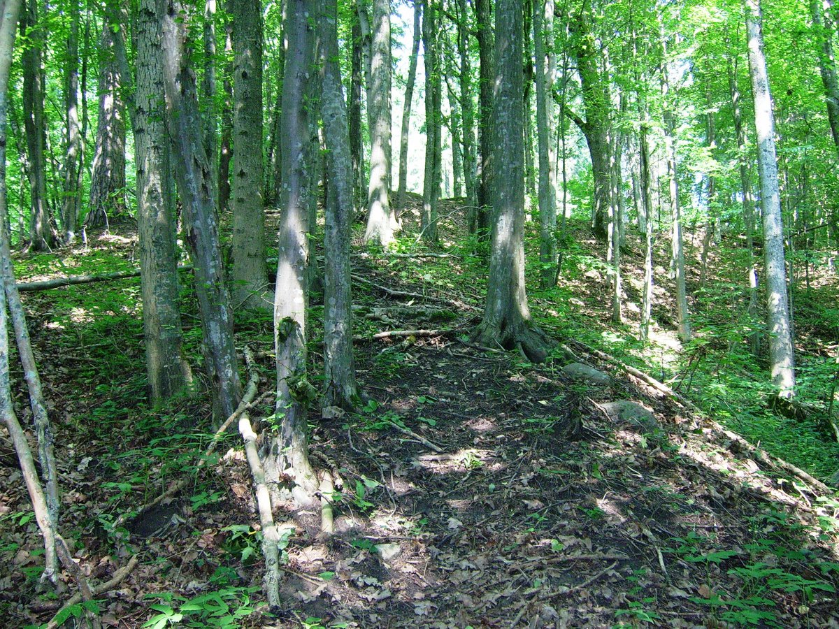
The rampart remains on the southwest, southeast, and northeast sides of the courtyard. At the southwest end, there is a filled rampart 2 m high and 25 m wide, with an outer slope 6 m high descending into a defensive ditch that is 16 m long, 20 m wide, and 3 m deep. The southeast edge features a 30 cm high and 8 m wide rampart, while the northeast edge has a 50 cm high and 10 m wide rampart.
The northern and northeast slopes of the hillfort were excavated by a sand quarry in about 1860. In the southwest Papėdė, a 1-hectare plot contains a Papėdė settlement where glued ceramics have been discovered.
Sources: Wikipedia, OpenStreetMap, Wikidata, Wikimedia Commons
Written by Nicolo Ciampini
Discuss this with the author and others
No comments yet. Be the first to start the conversation.