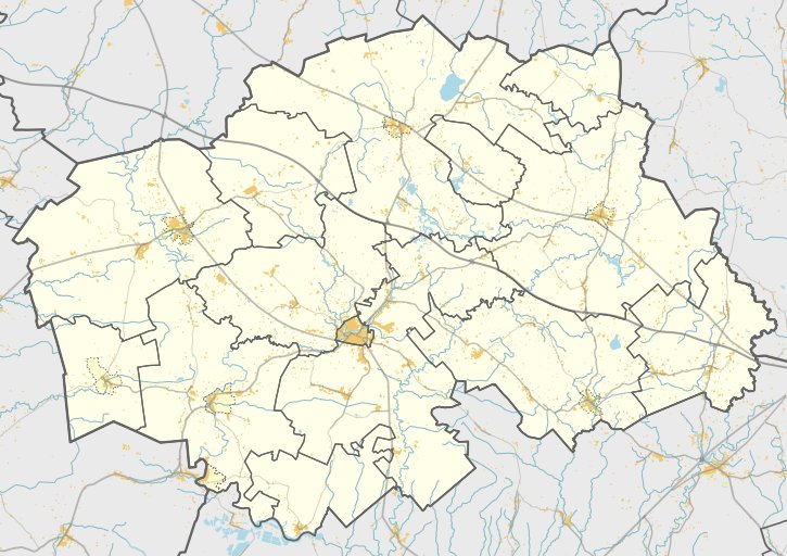
Vilkū Lauko Ancient Fortified Site, also known as Kūplė, is situated in Šilalės rajone, Vilkū Lauko forest, by the left bank of the Baltic Sea. Originally shaped as an oval, the site was partially submerged by the sea. Today, it is a triangular fortification, with a surrounding circle of earthen ramparts that measures 92 meters long and 44 meters wide (on the west-north side). These ramparts stand 9 meters tall, and the center has a 11-meter-high stone wall, flanked by a 11-meter-wide and 4-meter-deep ditch on either side.
The rampart-side of the site features a 10-meter-high and 15-meter-wide ditch, with a 10-meter-high and 5-meter-wide mound at its base, where a 12-meter-high antler tower stands. One hectare of land near the site has a habitation where archaeologists found burnt pottery, fragments of iron implements, carnelians, burnt pottery, and other artifacts. Kūplė is located 1259 meters from the Livonian Order's castle in Georgenburg.
Sources: Wikipedia, OpenStreetMap, Wikidata, Wikimedia Commons
Written by Nicolo Ciampini
Discuss this with the author and others
No comments yet. Be the first to start the conversation.