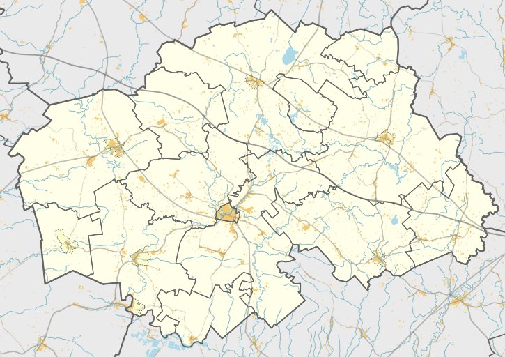

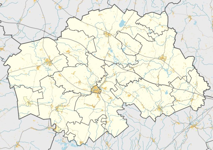
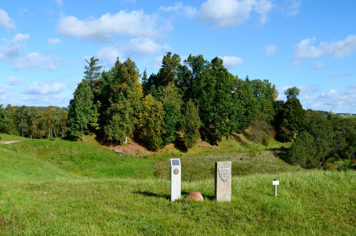
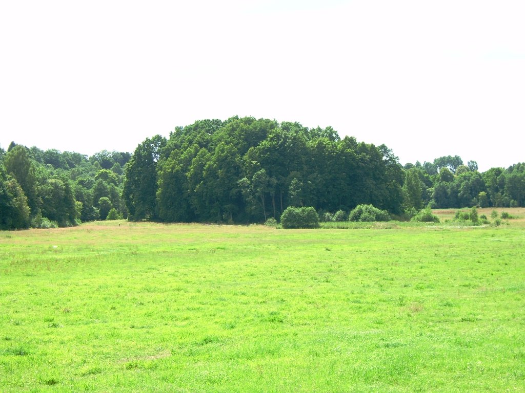
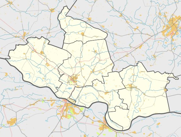
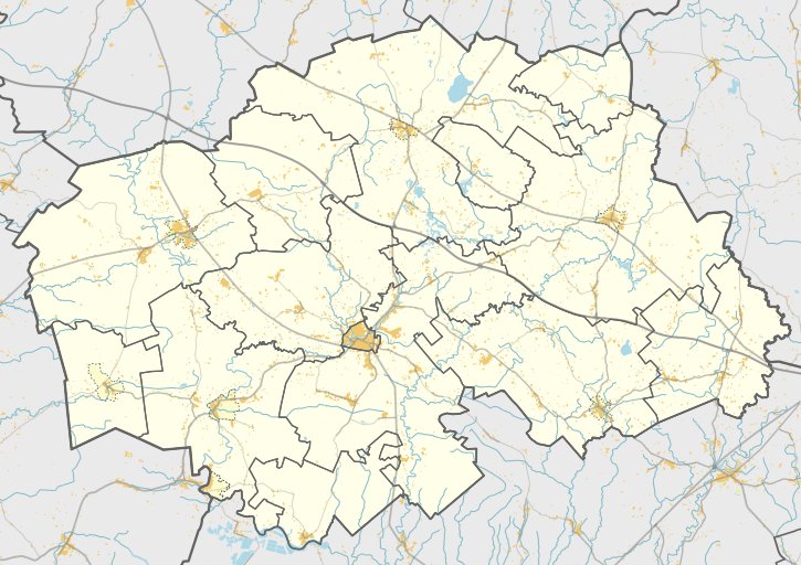
The Spraudaičių piliakalnis (Veringa) is located in the Šilalės district, in the village of Spraudaičiai, on the left bank of the Jūra River and the right bank of the Bario River.
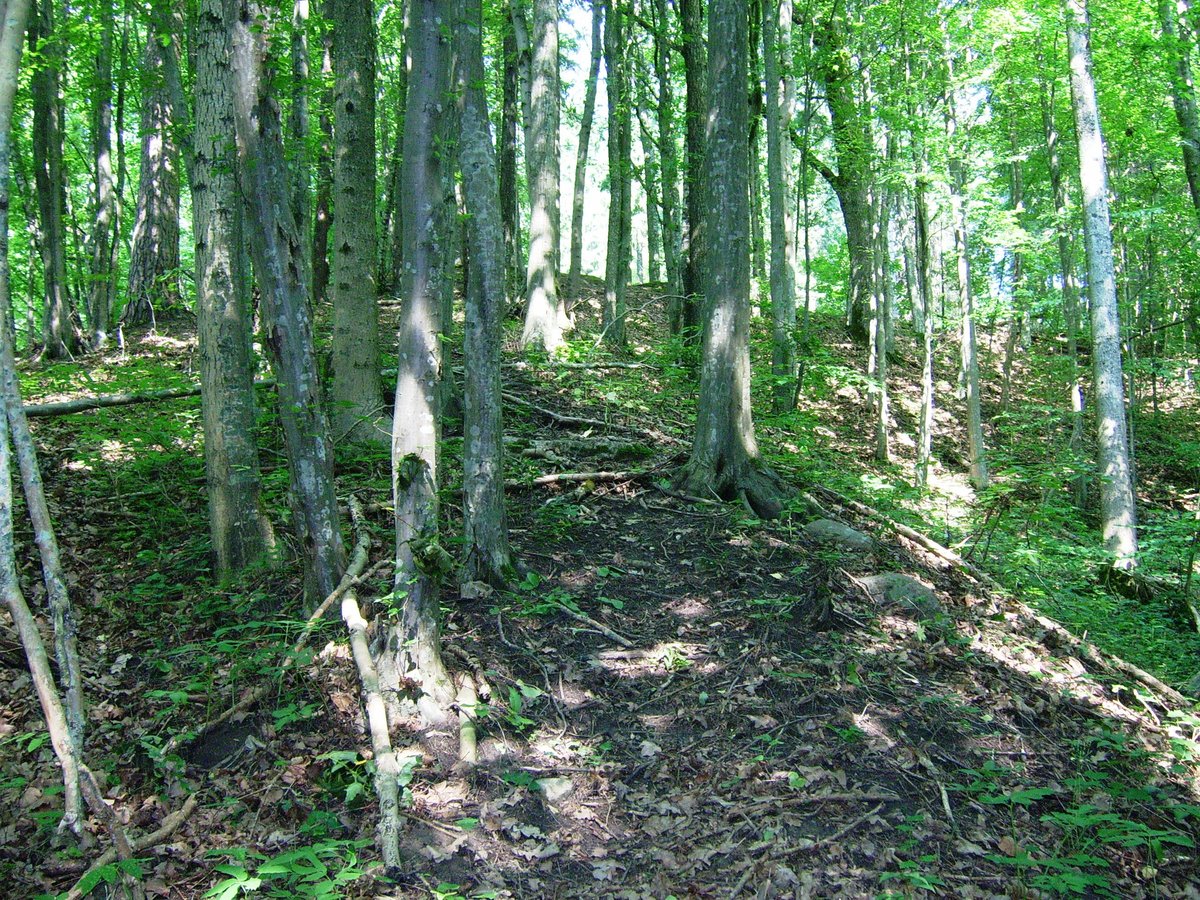
The triangular area of the hillfort stretches 85 m long and 44 m wide in a northwest direction. Along the edge of the area is a filled embankment 56 m long, 1.7 m high, and 11 m wide, with an outer slope of 3.5 m leading down into a ditch 6 m wide and 2 m deep. Behind this is a second filled embankment 60 m long, 0.7 m high, and 7 m wide, with a second defensive ditch 4 m wide and 80 cm deep.
Behind the second embankment is a third, now completely destroyed, embankment with a ditch 8 m wide and 2 m deep visible on the western side. Located on the hillfort is an unnamed castle built by the Žemaičiai around 1259, which blocked the Georgenburg of the Livonian Order that stood on the Vilkų Lauko hillfort.
Sources: Wikipedia, OpenStreetMap, Wikidata, Wikimedia Commons


Written by Nicolo Ciampini
Discuss this with the author and others
No comments yet. Be the first to start the conversation.