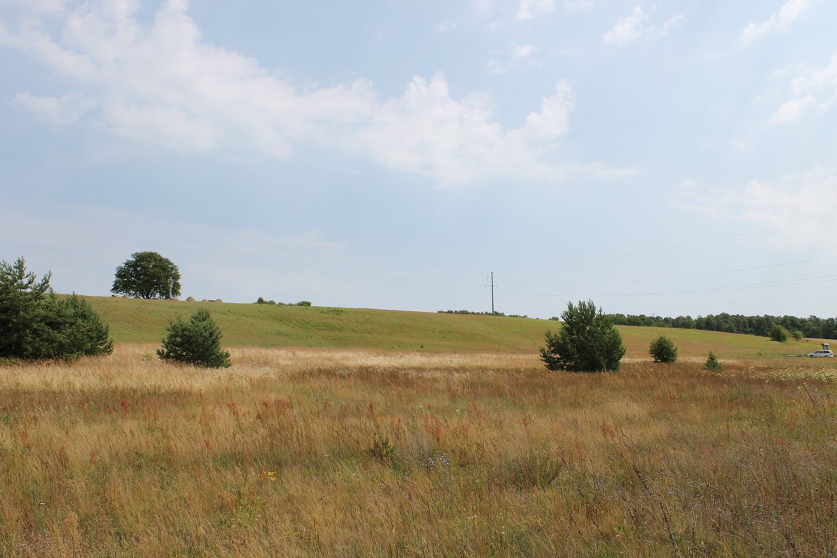
The hillfort in Gintarai, known as Gintarų dvarvietė or Vyšnių kalnu, is a National Cultural Heritage site, registered with a Registry Code A445P and a registration number AR1006. Situated in the Savivaldybės territory of the Kretingos region, it lies on the Minija Coast in Gintarai. This hillfort-settlement boasts a triangular shape, with a conspicuous scar on its south side, measuring 60 meters in length and up to 50 meters in width. Archaeological evidence suggests an ancient settlement dating back to the 16th-17th centuries in close proximity to the hillfort. The hillfort was established during the early Iron Age, encircled by two forts and ditches. The main ditch, made from both stone and earth, reaches up to 2 meters deep and features stone walls up to 2 meters high. Inside the ditches, a set of steps can be found, and an unusual trap was uncovered within the main ditch.
Sources: Wikipedia, OpenStreetMap, Wikidata, Wikimedia Commons
Written by Nicolo Ciampini
Discuss this with the author and others
No comments yet. Be the first to start the conversation.