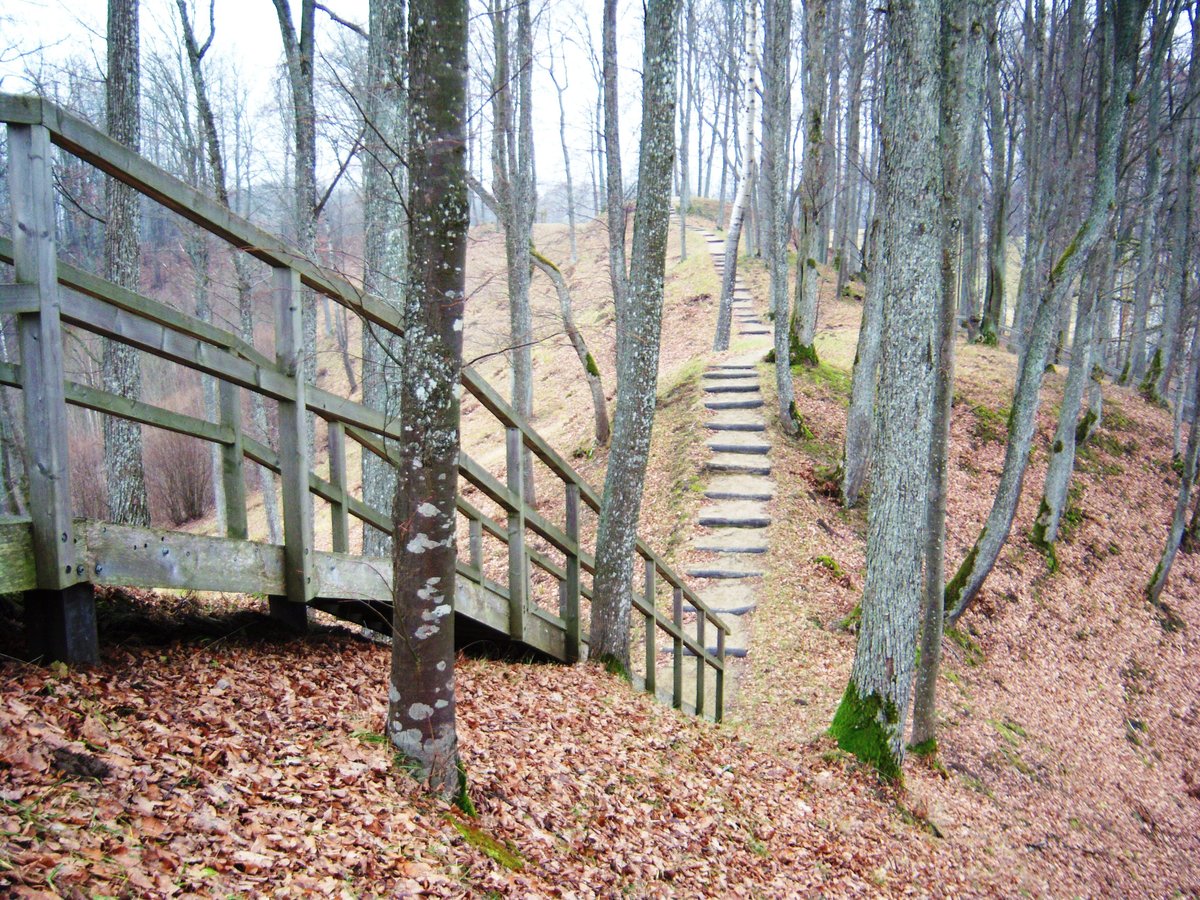

Located on the right bank of the Šešuvies River in the Raseiniai district, Molavėnų I is a significant archaeological site. This hillfort, also known as Kuprės or Griaužai, is protected within the Dubysa Regional Park. Its history spans from the first millennium BC to the end of the second millennium AD, and it was officially entered into the Register of Cultural Values in 1992.
The hillfort is situated on a ridge 350 meters long. Its structure includes a main courtyard that is rectangular and elongated in a northwest-southeast direction. This courtyard measures 28 meters in length and 3 to 5 meters in width. On its southeast edge, a trench 13 meters wide and 3 meters deep was excavated, leading to a platform 4.5 meters high and 15 meters wide. Another trench, 4 meters wide and 1 meter deep, sits behind it, followed by a palisade.
Defenses further surround the site, including a northern slope rising 6 meters high and leading into a trench 18 meters wide and 4 meters deep. This leads to the first forecourt, a rectangular area measuring 21 by 10 meters. A second forecourt measures 20 by 14 meters, featuring a platform that is 1 meter high and 9 meters wide. To the southeast lies a large palisade with a courtyard measuring 115 by 45 meters and a status slope rising 5 meters high. The slopes of the hillfort and the forecourts reach heights of up to 18 meters, while the northern side shows signs of erosion from the Šešuvies River.
Sources: Wikipedia, OpenStreetMap, Wikidata, Wikimedia Commons
Written by Nicolo Ciampini
Discuss this with the author and others
No comments yet. Be the first to start the conversation.