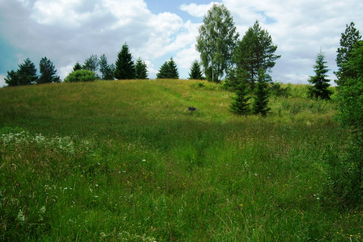

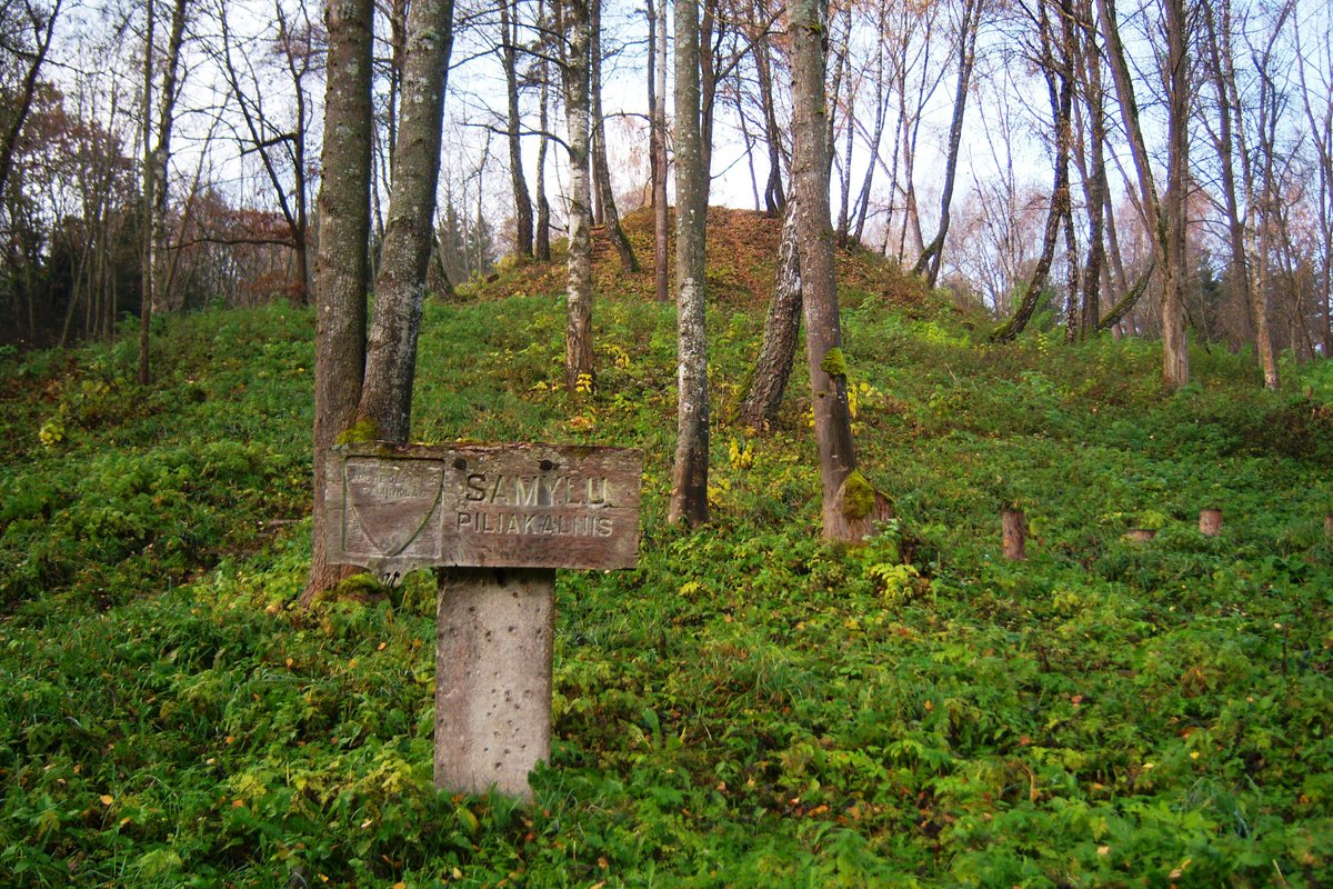
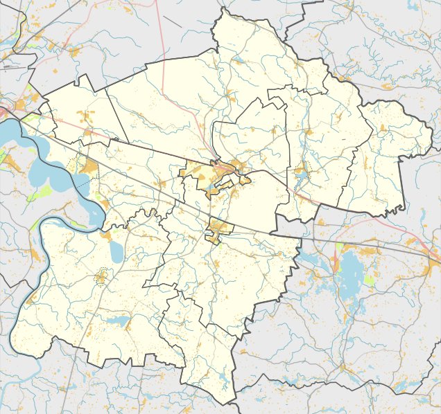
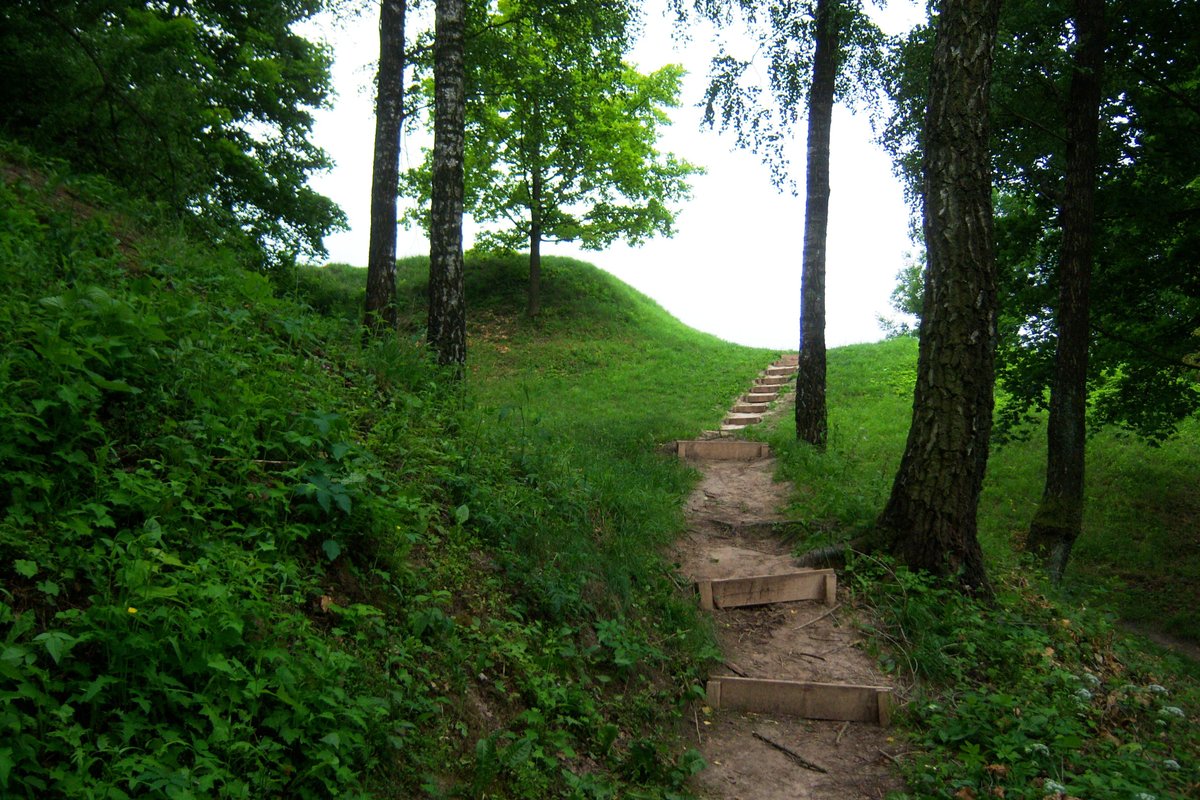
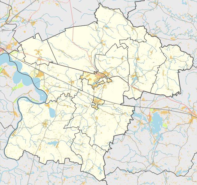
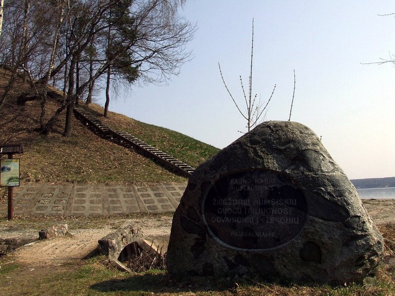
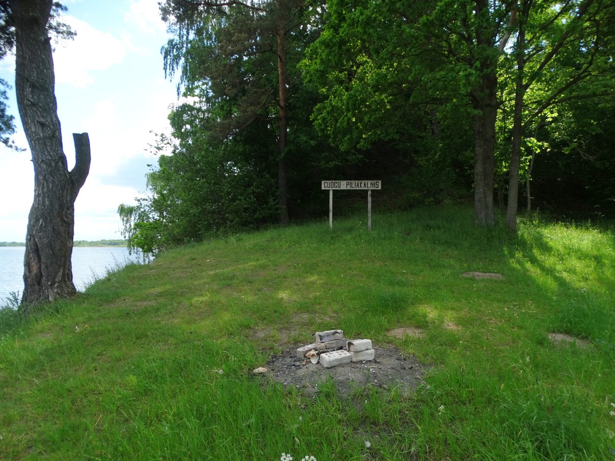
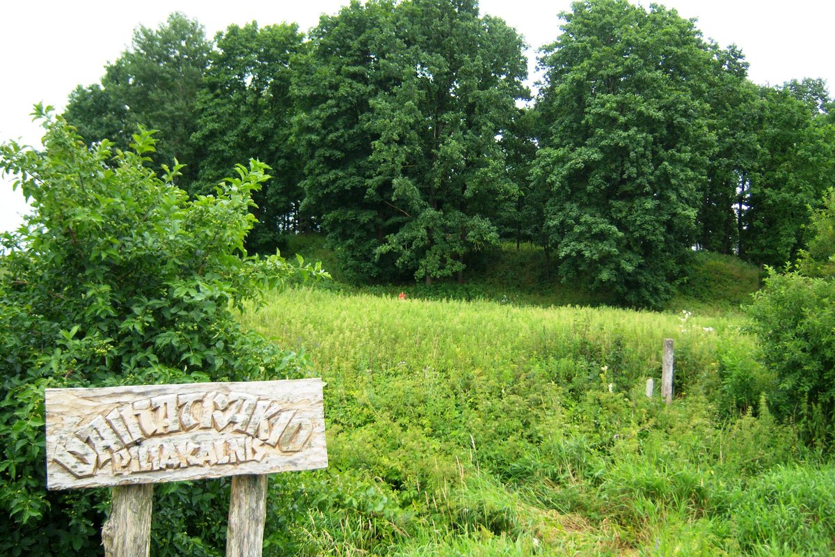
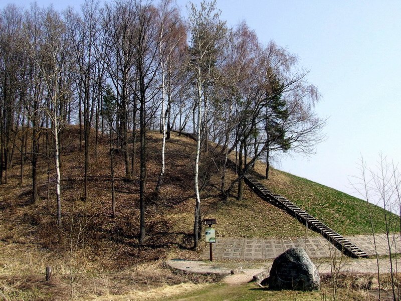
Dubravų piliakalnis - also known as Barsukalnis - is a hillfort dating back to the first half of the first millennium. It sits on a distinct hill with an oval clearing measuring 70 by 45 metres. If you stand in the middle, the ground rises about 1.5 metres, with the slopes reaching heights of 7 metres.
The landscape has been heavily reshaped by farming and by Tarybinės armijos soldiers who dug target simulators into the slopes. Today, the western slope is covered in young spruce, while the others are overgrown with bushes.
Scientists have been trying to find the cultural layer - the actual physical evidence of human activity - since 1953. They looked again in 1962 and once more in 2004 when a 40 square metre trench was cut into the northern slope. In all these instances, no cultural layer was found.
Sources: Wikipedia, OpenStreetMap, Wikidata, Wikimedia Commons
Written by Nicolo Ciampini
Discuss this with the author and others
No comments yet. Be the first to start the conversation.