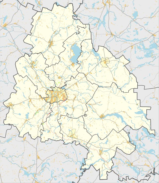
Discovered fifty years ago by the Institute of History and registered in 2005, Rukšėnų piliakalnis hides a long oval structure about 25x15 meters, sunk approximately 700 meters in the ground. Straddling an area of 1 hectare, the mound is protected by soil, stones, and mortar, with a 3 meters wide stone slab and a 0.3-meter high stone staircase. On the other side, a 15-meter high stone slab descends 3 meters wide into the ground. Rukšėnų piliakalnis is an archaeological site with registration number 16151 and is located in Utenos rajono savivaldybės territory.
Sources: Wikipedia, OpenStreetMap, Wikidata, Wikimedia Commons
Written by Nicolo Ciampini
Discuss this with the author and others
No comments yet. Be the first to start the conversation.