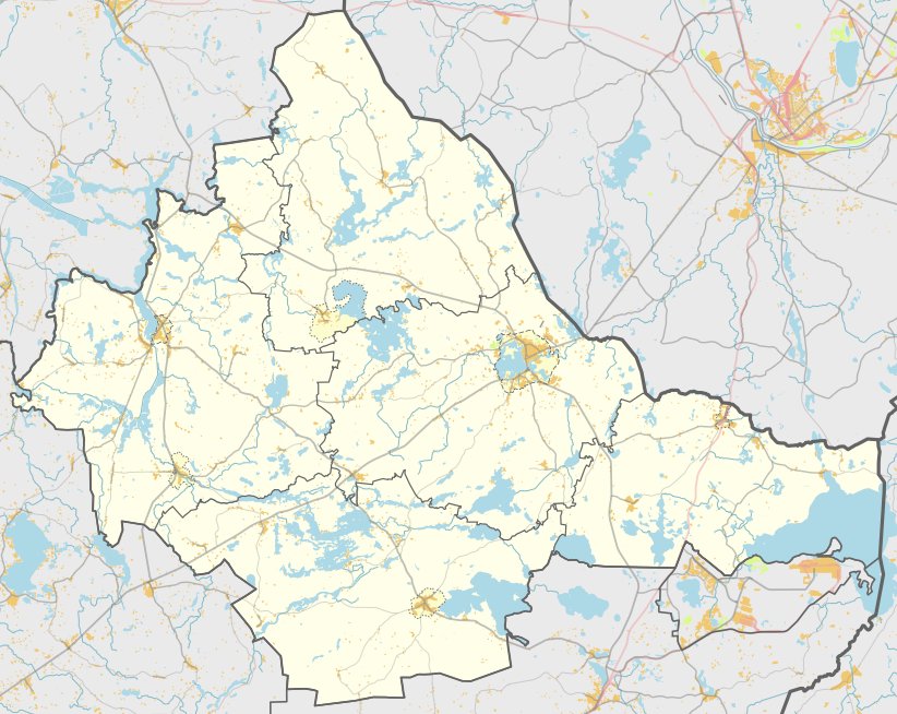

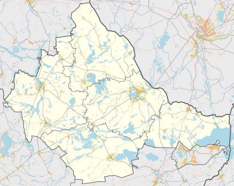
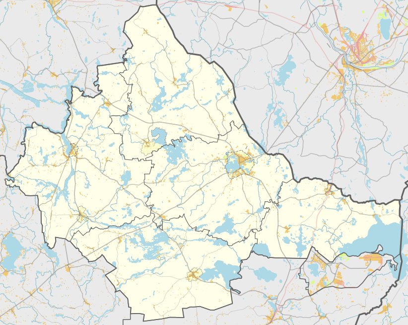
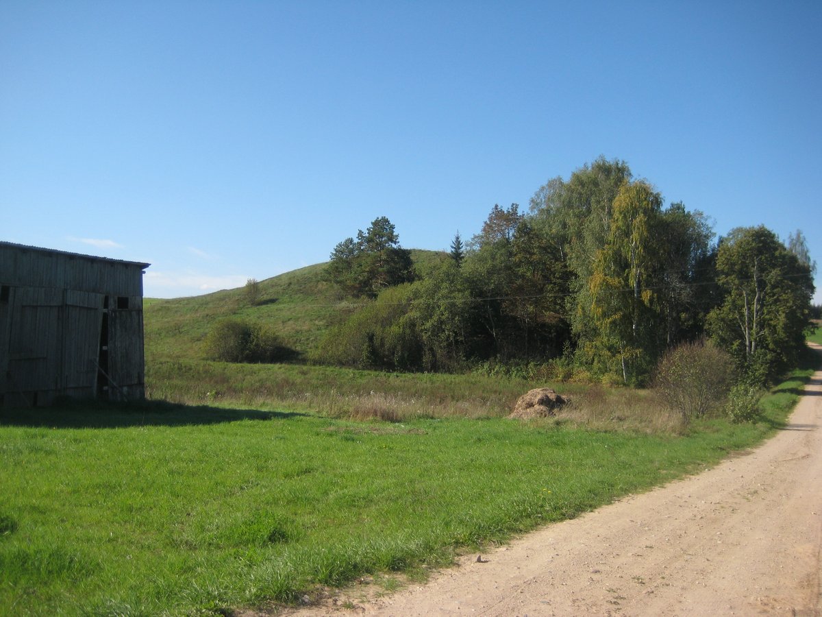
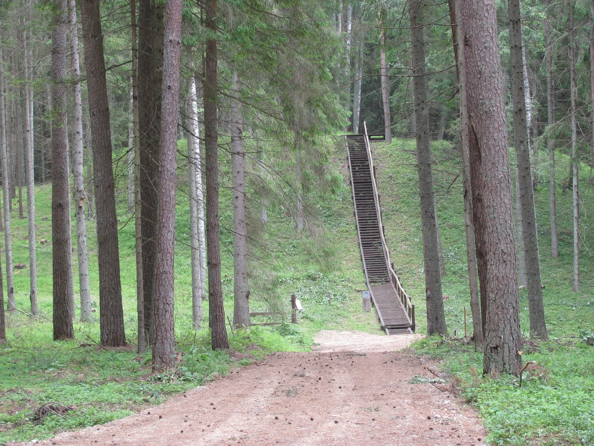
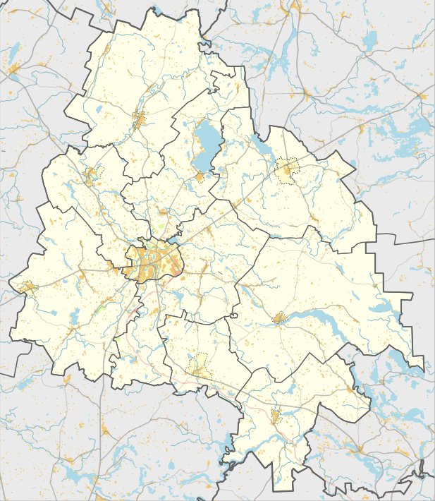
In the village of Gasiai, within the Zarasai district, sits the Gasiai hillfort, also known as Katilničia, Piniginis kalnas, or Šaikinė. It is located at the highest part of a separate long hill, accessible from the Bradesiai-Dusetos-Daugailiai road by turning right toward the east and traveling 1.7 km past the forest to the farmstead.
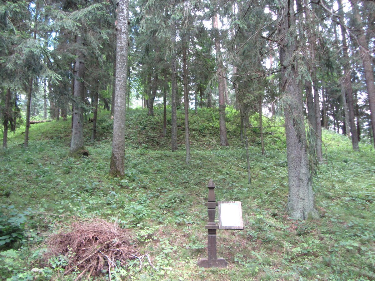
The hillfort features a rectangular courtyard oriented northwest to southeast, measuring 10 meters long by 14 meters wide. At the northwest end of the courtyard is a rampart 11 meters long, 0.8 meters high, and 11 meters wide, while the southeast end holds a rampart 0.3 meters high and 6 meters wide. The side slopes are built to a height of 10-12 meters, while the end slopes are gentler. The area is surrounded by bushes and is overgrown with pines and dense thickets.
In 1999, the hillfort was surveyed by the Institute of Lithuanian History. Dated to the 1st millennium, the site was granted legal protection in 2006. The total area of the monument's territory is 1.16 hectares.
Sources: Wikipedia, OpenStreetMap, Wikidata, Wikimedia Commons
Written by Nicolo Ciampini
Discuss this with the author and others
No comments yet. Be the first to start the conversation.