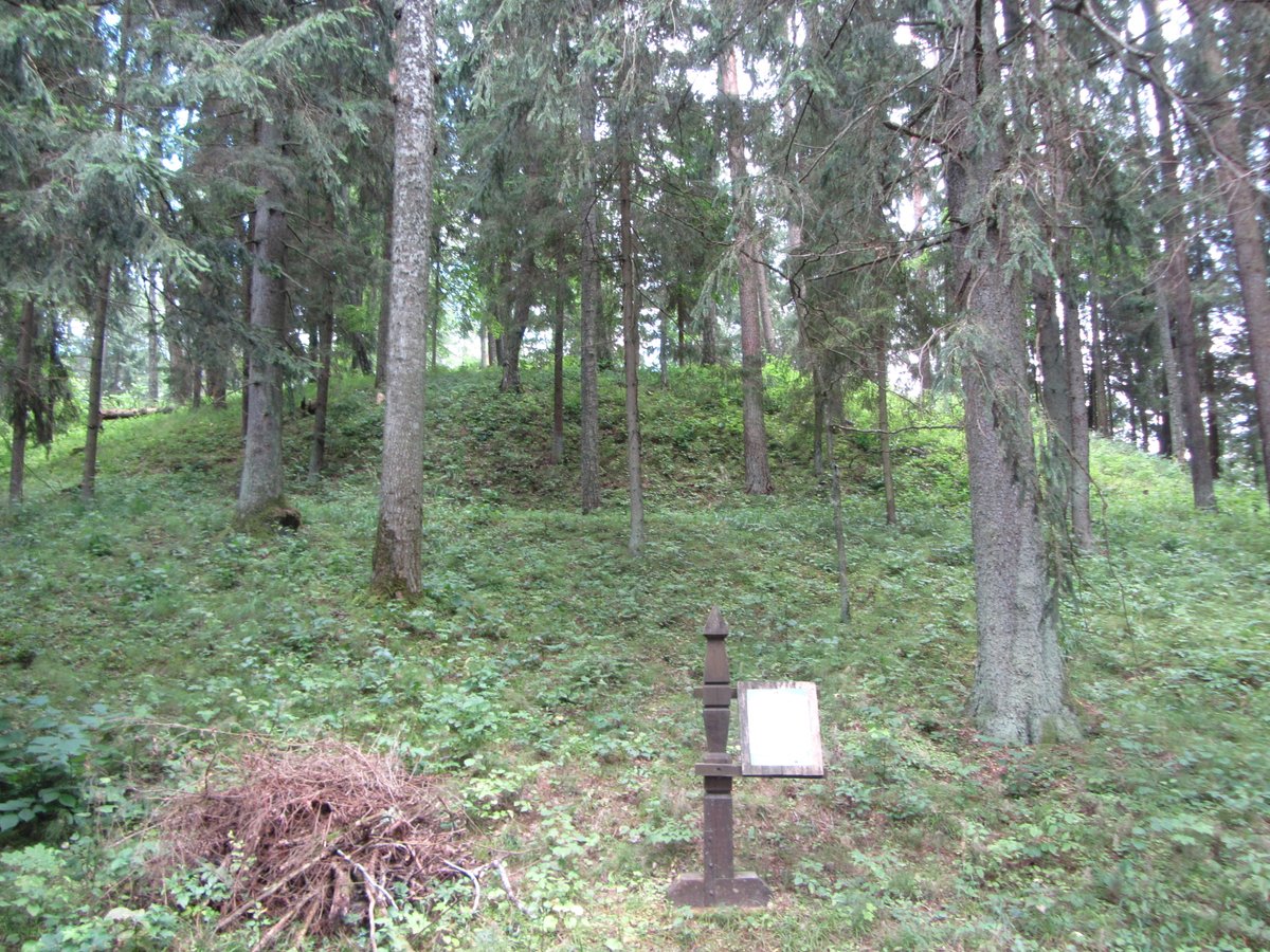

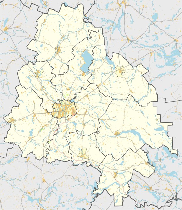
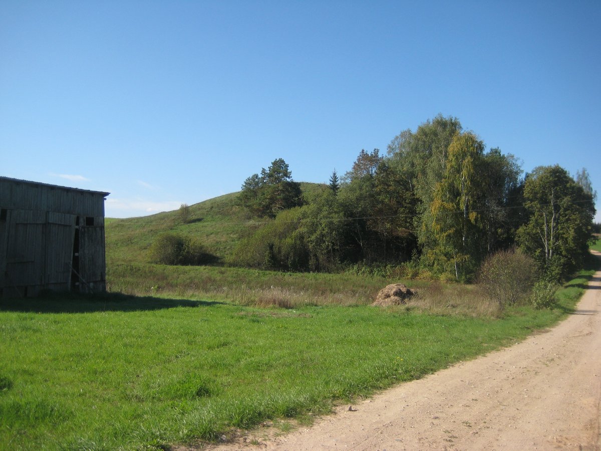
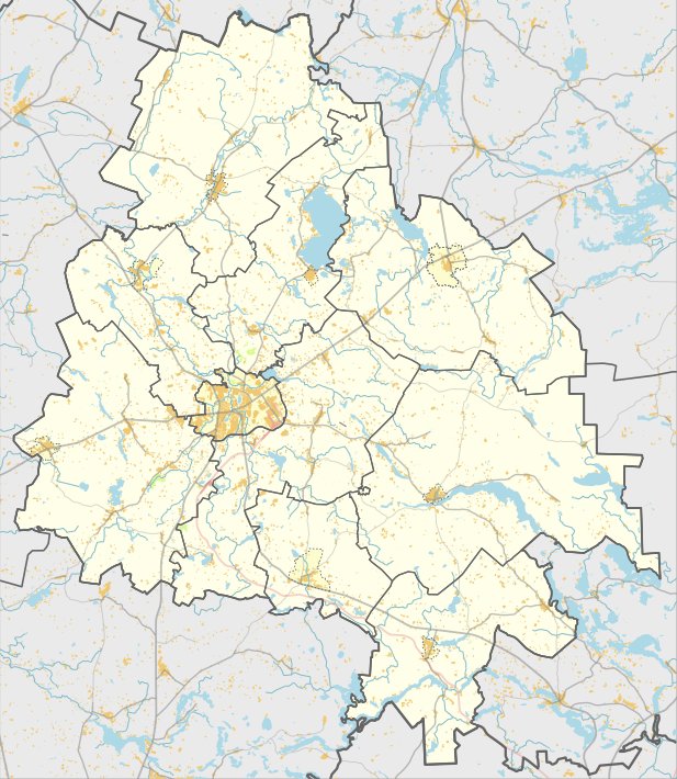
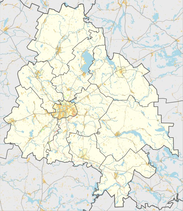
Located in the Zarasai district near Antalieptė, the Lūžų Hillfort sits in the Lūžų forest near the left bank of the Šavašos river. It is situated within the Gražutė Regional Park and can be reached via the Antalieptė-Jakštai road, passing before the Šavašos stream.
The hillfort is defined by the Šavašos valley to the east, south, and southwest, while the high ground lies to the northwest and northeast. The slopes on the valley side reach heights of 10-15 m, while the northeast side stands 6 m high. The site features an oval courtyard measuring 40 x 20 m, with the northeast edges rising 3 m higher than the rest of the area.
Archaeological finds at the site include ceramics with a brick-like surface. On the northeast slope, 6 m below the courtyard, there is a terrace measuring 9 m long and 4 m wide. The hillfort is dated to the 1st millennium BC through the beginning of the 1st millennium AD. Nearby, about 1.2 km to the southwest, lies the Lūžų stone, and 300 m to the south is the 1st millennium Lūžų pit.
Sources: Wikipedia, OpenStreetMap, Wikidata, Wikimedia Commons
Written by Nicolo Ciampini
Discuss this with the author and others
No comments yet. Be the first to start the conversation.