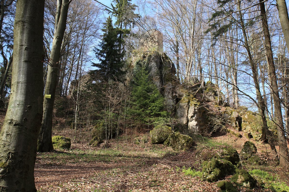
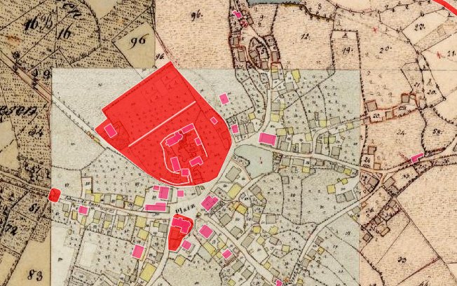
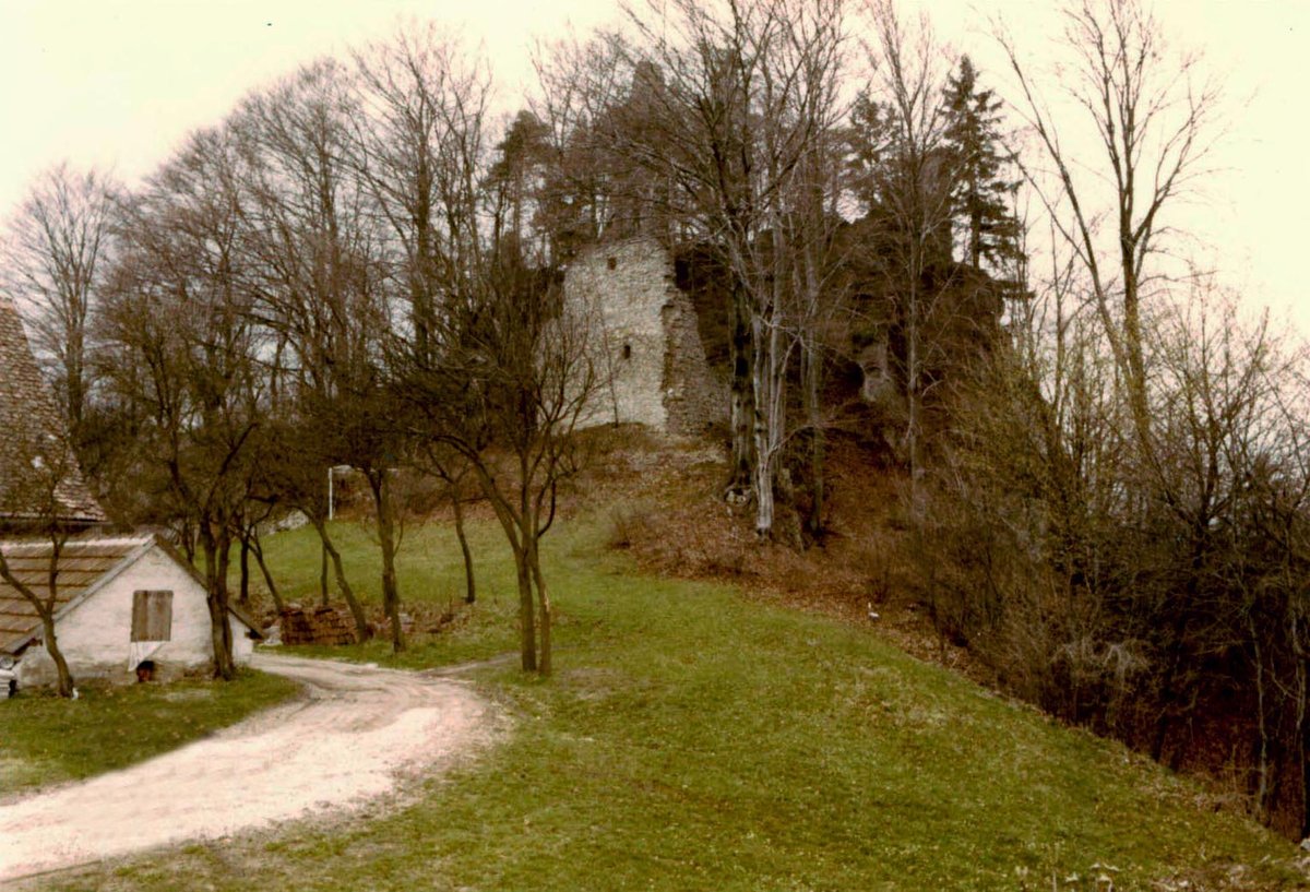
The castle stands on a plateau of 75 by 45 meters, a flat stage carved into the highest point of a cone-shaped mountain. From the village of Poppberg, the peak rises 653 meters above the surrounding Bavarian landscape. Despite the moderate climb, the mountain slopes are heavy with stone, creating a jagged labyrinth of rock that made any approach a deliberate struggle.
Built in the 13th century by the Counts of Sulzbach, the structure was a two-part mountain castle known as a Höhenburg. Its history moved between the powerful of the region. It sat in the hands of Emperor Karl IV from 1353 to 1373 before falling to the Margrave Otto von Brandenburg. By 1379, the Bavarian dukes Johann and Stephan held the keys, only to sell the property to Palatine Ruprecht III in 1395. In 1505, it joined the Duchy of Sulzbach, and by 1550, the land had been sold to peasants.
The architecture follows the logic of the rock. A curtain wall wrapped around the plateau, adapting to the sharp edges of the stone ledge. Visitors today can trace the path that once came from the west, passing a wall tower at the southwest corner before reaching the gate in the middle of the southern side. The main castle was divided from an outer courtyard by a simple wall, keeping the domestic life of the inhabitants separate from the public face of the fortress.
At the northern end of the core castle sits the Palas. This rectangular building stretched 25 meters long and 12 meters wide, constructed primarily from roughly worked rubble masonry. While most of the walls are rough, the southeast corner features carefully worked boss stones - Buckelquader - which were broken out as if for use elsewhere. The Palas rose like a tower, with three floors still standing today, though at least one more floor is suspected to have existed.
The ground floor was a basement, followed by an unlit intermediate level, with the main living quarters located on the third floor of the Palas. One could reach the living area via a staircase on the southern long side. From there, two additional entrances on the third floor led to the walkways that hugged the surrounding curtain wall. On the southwest side, a tower sat atop a pointed rock, marking the highest point of the entire complex. Now in private ownership, the ruin remains a silent landmark, a place where the history of the Counts of Sulzbach meets the permanence of the Fränkischen Alb rocks.
Sources: Wikipedia, OpenStreetMap, Wikidata, Wikimedia Commons
Written by Aurora
Discuss this with the author and others
No comments yet. Be the first to start the conversation.