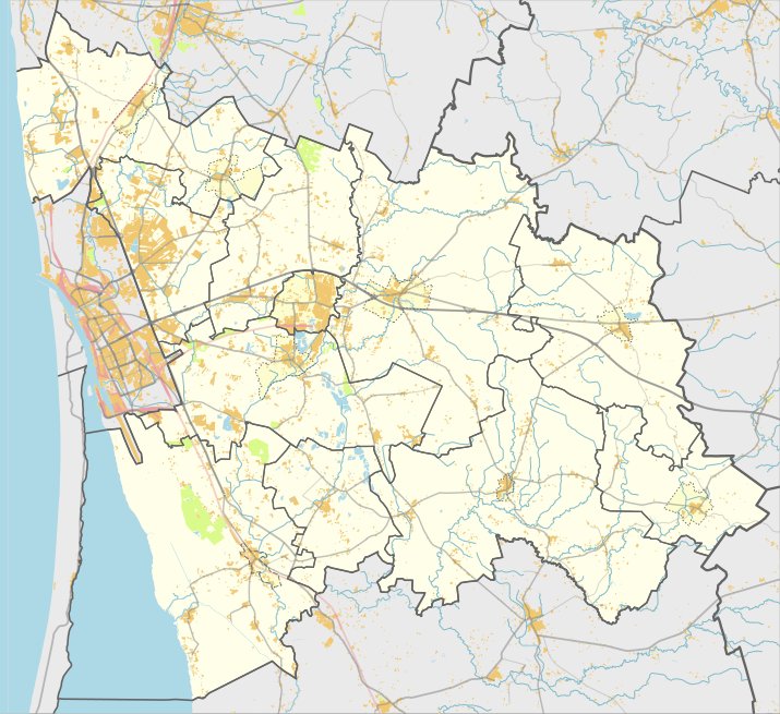

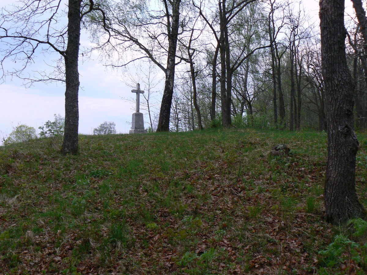
Vyskupiškių piliakalnis is a hill fort located on the right bank of the Veiviržys river, in a coastal point where the Graužupys and Juodupis rivers meet. The main courtyard is a rectangle measuring 60 metres long and 30 metres wide at its western end. Its eastern edge features an embankment 12 metres long and 1.5 metres high, with an outer slope rising 2.5 metres.
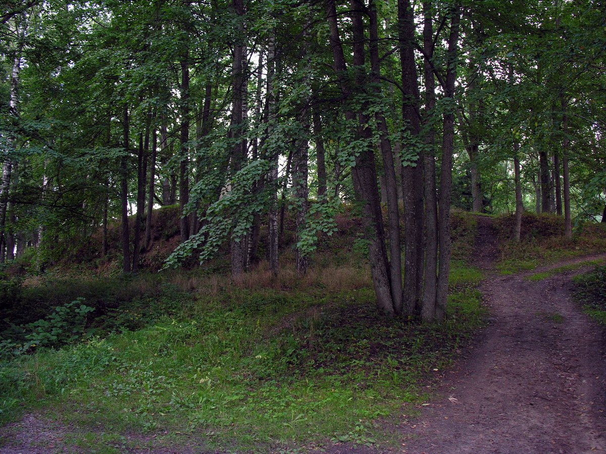
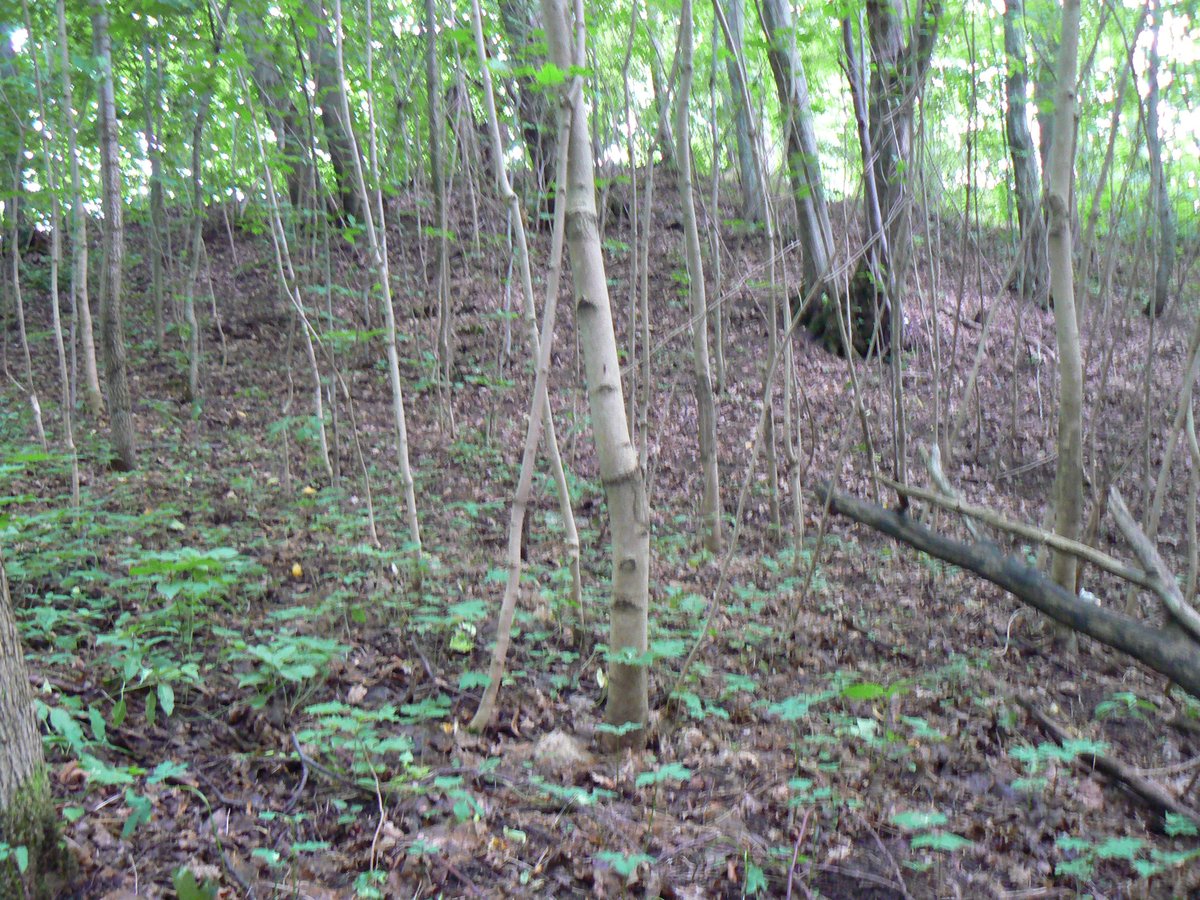
To the east of the embankment lies the first papilis, a rectangular area 70 metres long and 16-18 metres wide, containing an 8-metre wide ditch three metres deep. A second papilis sits on a separate hill to the west on the left bank of the Graužupys. This second area is triangular, measuring 19 metres long and 15 metres wide at its southwestern part, with a man-made slope rising 3 metres high. The slopes of the hill fort and the papilai reach heights of 12-14 metres.
Archaeological research began in 1905 by Liudvikas Kšivickis, followed by studies by the Institute of Lithuanian History in 1963. In 2003-2004, excavations on the northern edge of the courtyard revealed a cultural layer 50 centimetres thick containing coarse pottery, iron grave goods, and post-holes. The hill fort is dated from the first millennium to the 13th century.
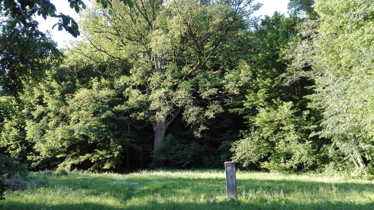
The northern edges of the courtyard, embankment, and papilai were eroded by the Graužupys river but were stabilized between 2003 and 2004. The site is currently covered with shrubs.
Sources: Wikipedia, OpenStreetMap, Wikidata, Wikimedia Commons


Written by Nicolo Ciampini
Discuss this with the author and others
No comments yet. Be the first to start the conversation.