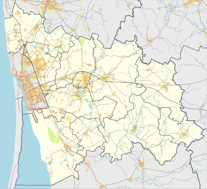

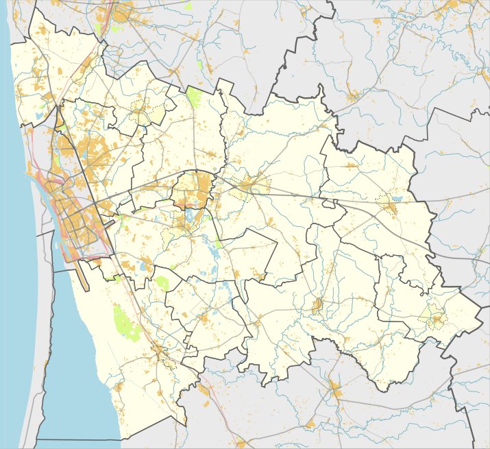
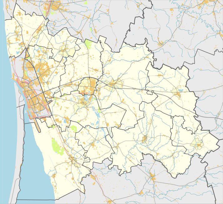
Located in the Klaipėda region near the village of Mockaičiai in the Veiviržėna parish, the Mockaičių hillfort can be reached via the Gargždai – Švėkšna road. After crossing the Veiviržė and turning left toward the north, the site is reached by passing the Kuisio river and following a field path. After turning left toward the west along an electrical line, the hillfort is situated immediately behind a farmstead 500 meters away.
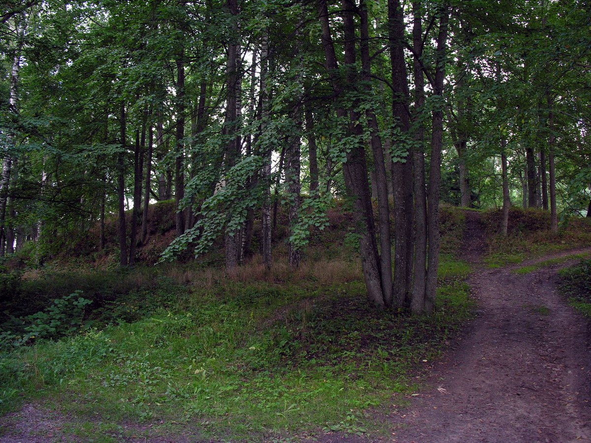
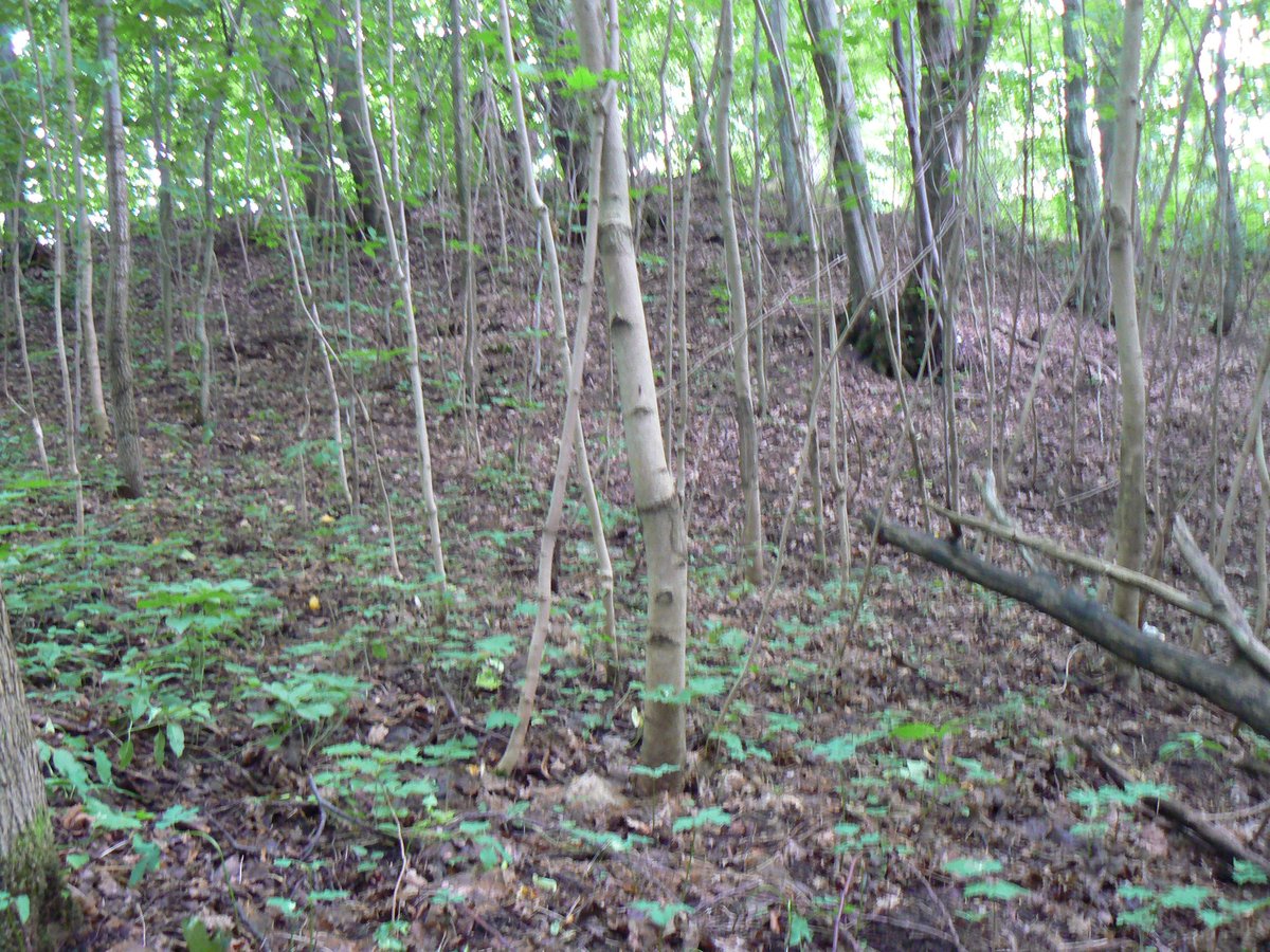
The site dates from the 1st century to the 13th century. It features an oval-shaped clearing measuring 65 by 45 meters, with steep slopes reaching 20 meters in height. On the northern and eastern edges, there is a curved embankment 80 meters long, 1 meter high, and 8 meters wide, which was once surrounded by a ditch.
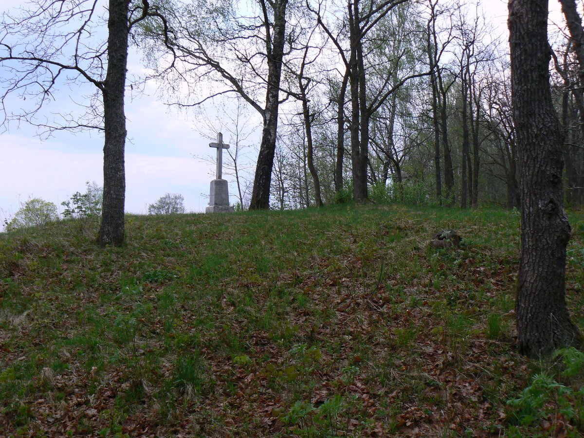
To the east of the hillfort, near the site of the former ditch, stands a farm building belonging to a neighboring yard. The hillfort is currently overgrown with broadleaf trees. According to local residents, around 1820 the hillfort was also called 'kapeliais' or 'kapukais', and was used as a burial place. The site is included in the list of cultural monuments of Lithuania.
Sources: Wikipedia, OpenStreetMap, Wikidata, Wikimedia Commons


Written by Nicolo Ciampini
Discuss this with the author and others
No comments yet. Be the first to start the conversation.