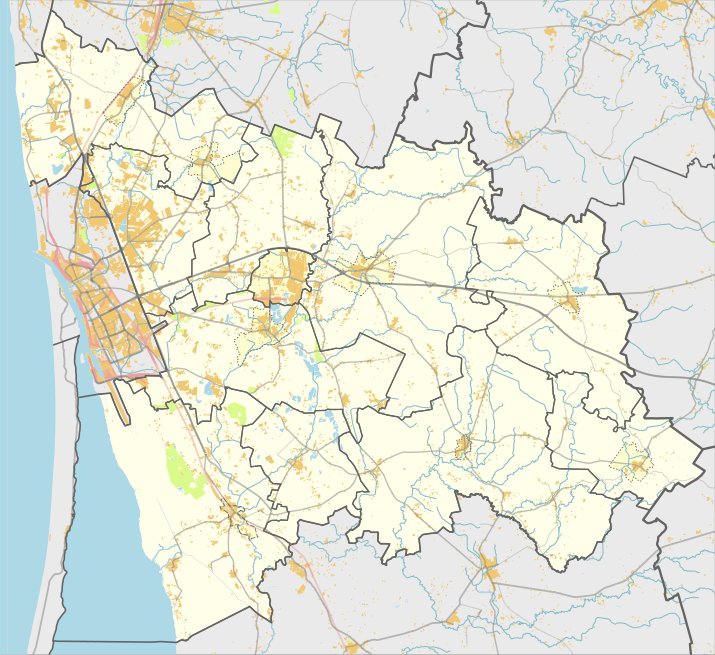

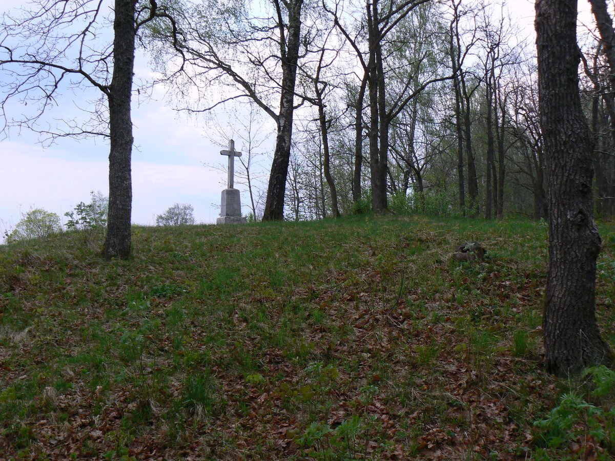
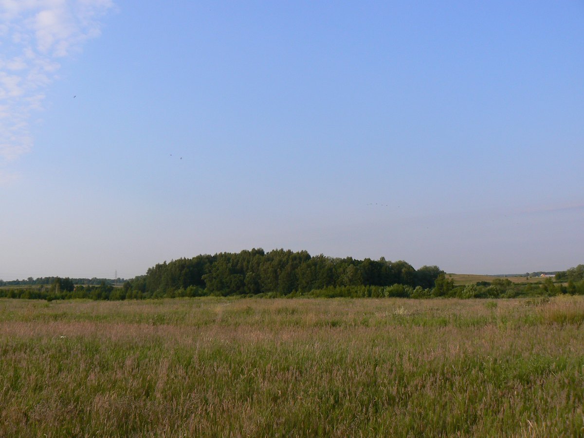
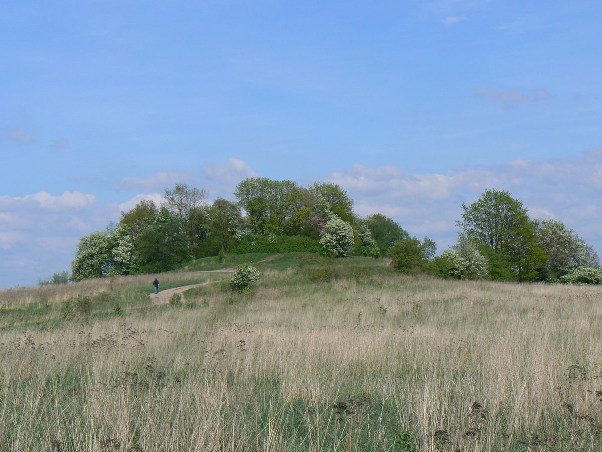
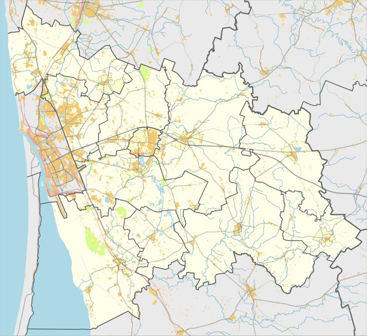
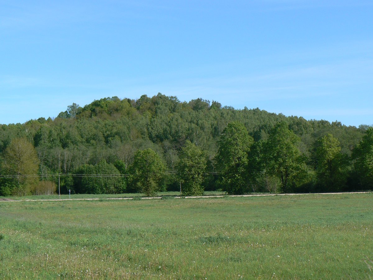
Dovilų piliakalnis, also known as Gedminų piliakalnis or Pelutės kalnas, is a hill fort located in the Klaipėda district near the village of Dovilų. The site is situated on a height on the right bank of the Minija river, bordered by cold springs to the east, south, and southwest. It is reached by a 400-meter path from the Dovilų farms, leading into a forest area.
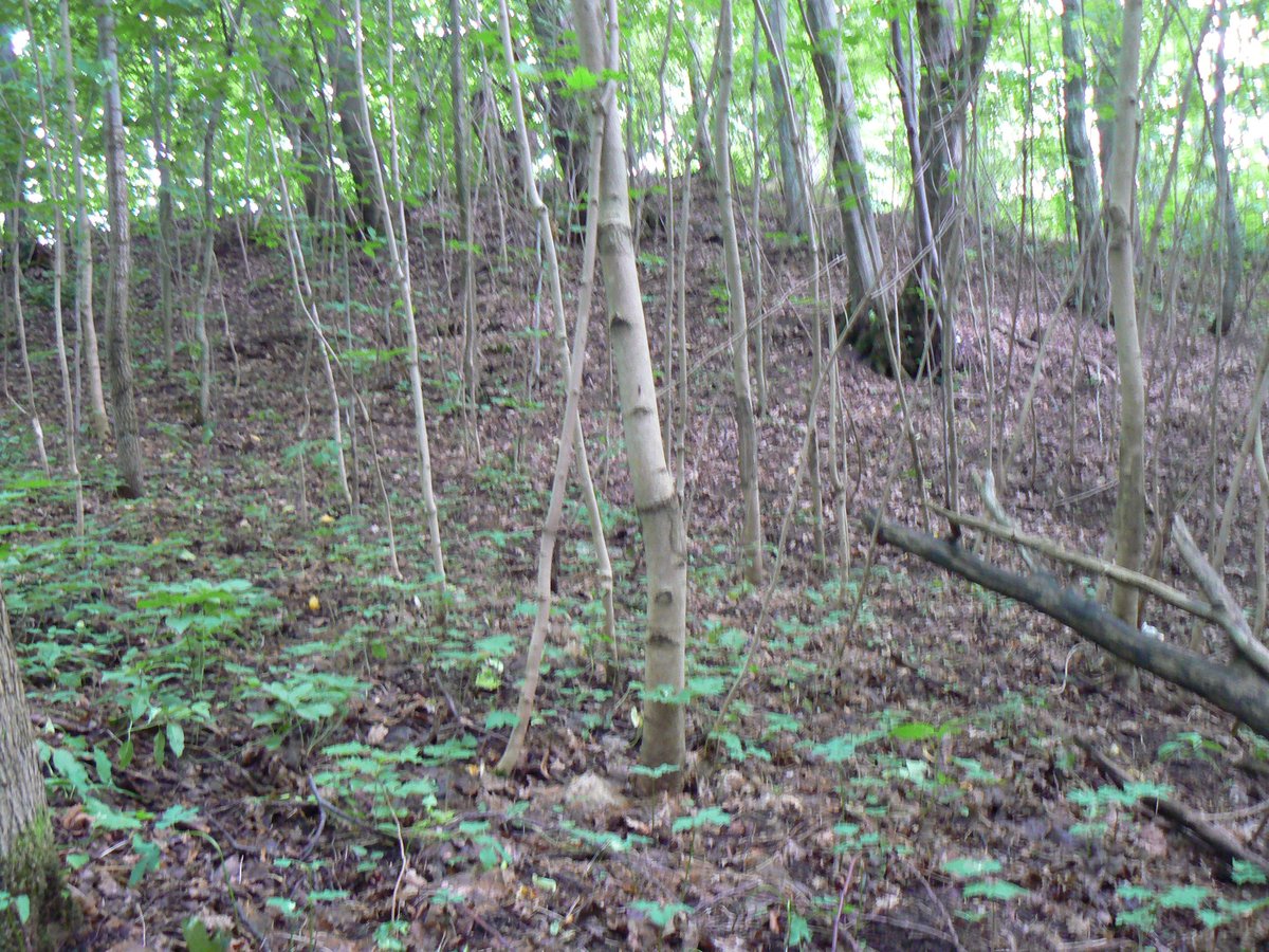
The fortification features a rectangular courtyard measuring 110 meters long and 20 to 25 meters wide. On the southwest edge, there is an embankment 0.5 meters high and 6 meters wide. The northeast edge features a larger embankment 2.5 meters high and 15 meters wide, with an outer slope of 7 meters leading into a natural ditch 30 meters wide and 2 meters deep. The slopes themselves stand 9 meters high.
While the fort dates from the first millennium to the 13th century, the site was altered in the early 1940s when German trenches were dug into the eastern edge and around the embankments. Today, the site is overgrown with hazel trees. Archaeological excavations were conducted at the site in 1930 by Karlas Engelis and again in 1966 by the Institute of Lithuanian History.
Sources: Wikipedia, OpenStreetMap, Wikidata, Wikimedia Commons


Written by Nicolo Ciampini
Discuss this with the author and others
No comments yet. Be the first to start the conversation.