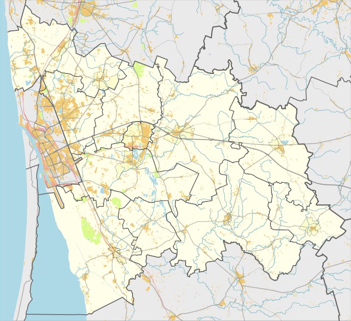

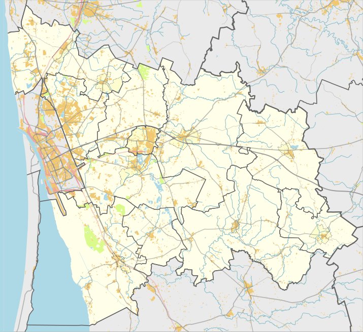
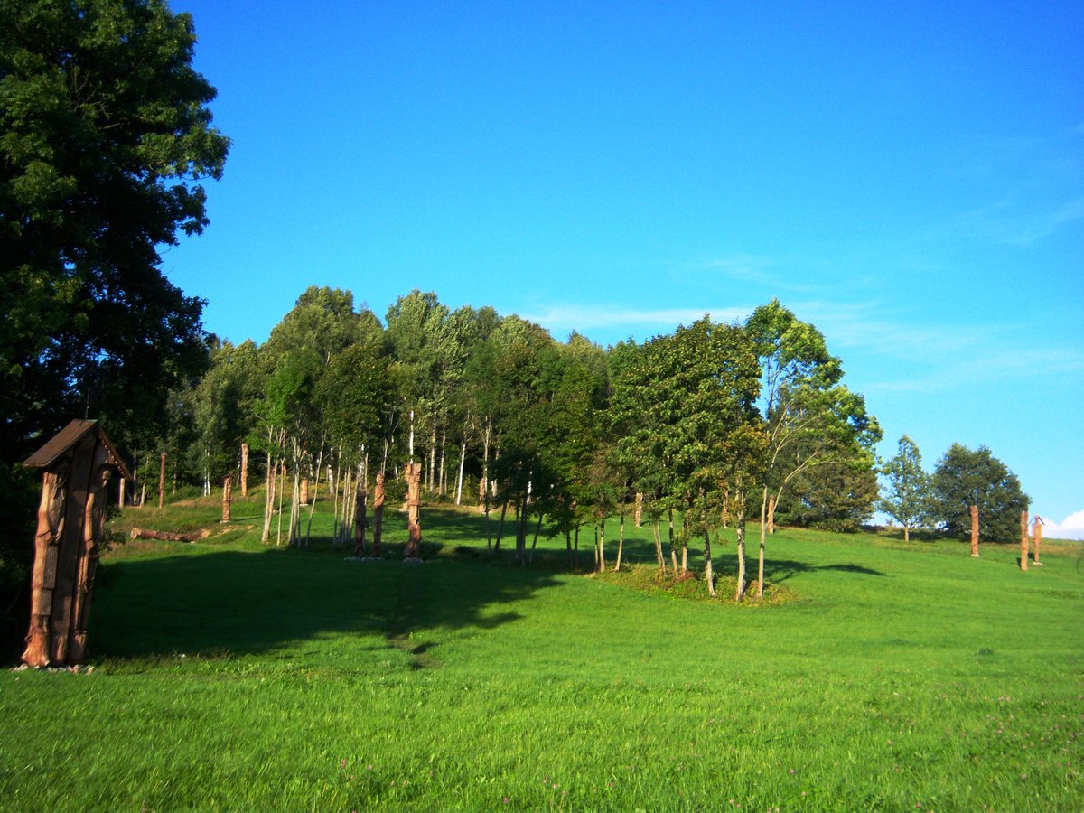
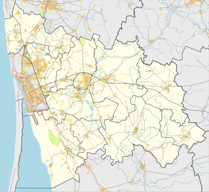
Norgėlų piliakalnis, also known as Mataičiai or Vytauto kalnas, is a hill fort situated in the Klaipėda district near the village of Norgėlų. It is positioned on a height between the Šalpalė and Vytauto rivers. The site is accessible from the Veiviržėnai - Judrėnai road by turning toward Endriejavas through Mataičiai, passing the former Norgėlų farms, and traveling 1.3 km east across the fields.
The fortification features a triangular plateau measuring 36 metres long and 26 metres wide at its northern end. Along the northern edge stands a rampart 26 metres long, 4 metres high, and 24 metres wide. The outer slope of this rampart falls 6 metres high into a 7-metre wide ditch, behind which rises a second rampart 0.8 metres high and 4 metres wide. The slopes reach a height of 15 metres, and the site dates from the first millennium BC to the 13th century.
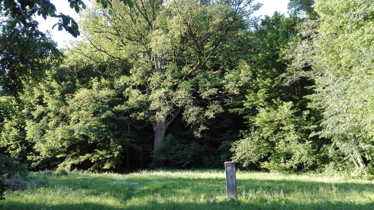
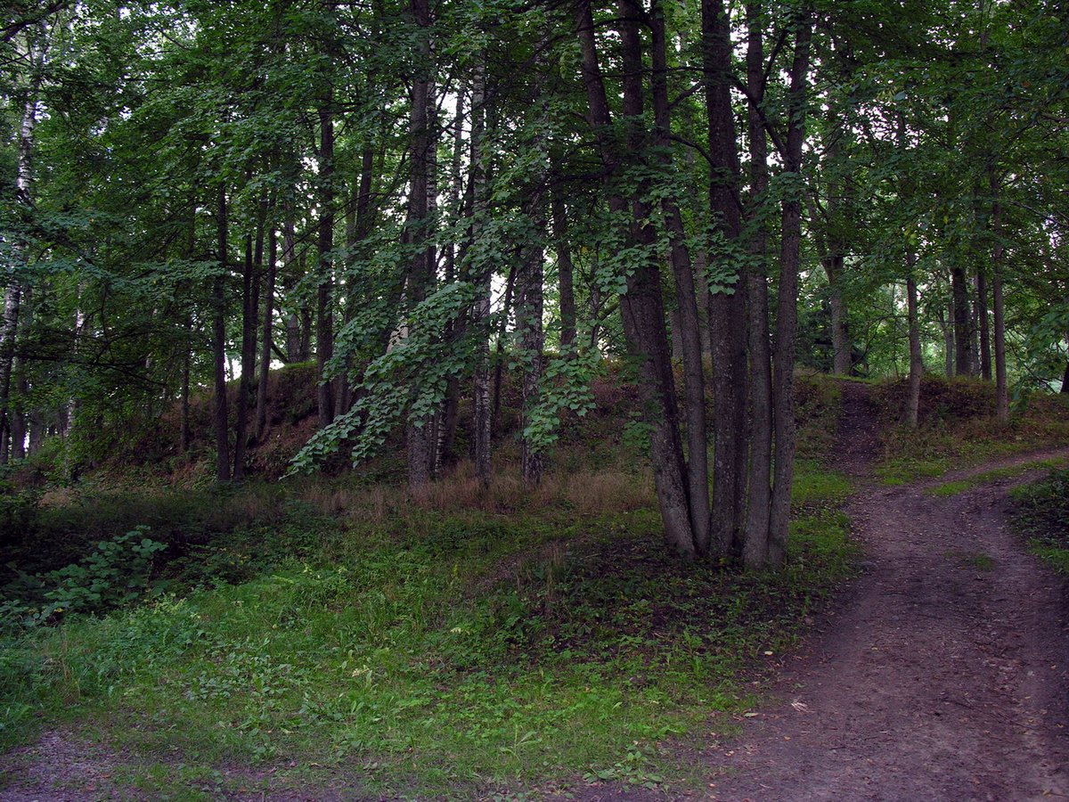
During the second half of the 19th century, the ramparts were excavated, leaving behind pits where various artifacts were found. Today, the hill fort is covered by a mixed forest, while the plateau remains open. About 500 metres north of the hill fort is an ancient cemetery dating from the 8th to the 11th century, which was studied in 1909.
Sources: Wikipedia, OpenStreetMap, Wikidata, Wikimedia Commons



Written by Nicolo Ciampini
Discuss this with the author and others
No comments yet. Be the first to start the conversation.