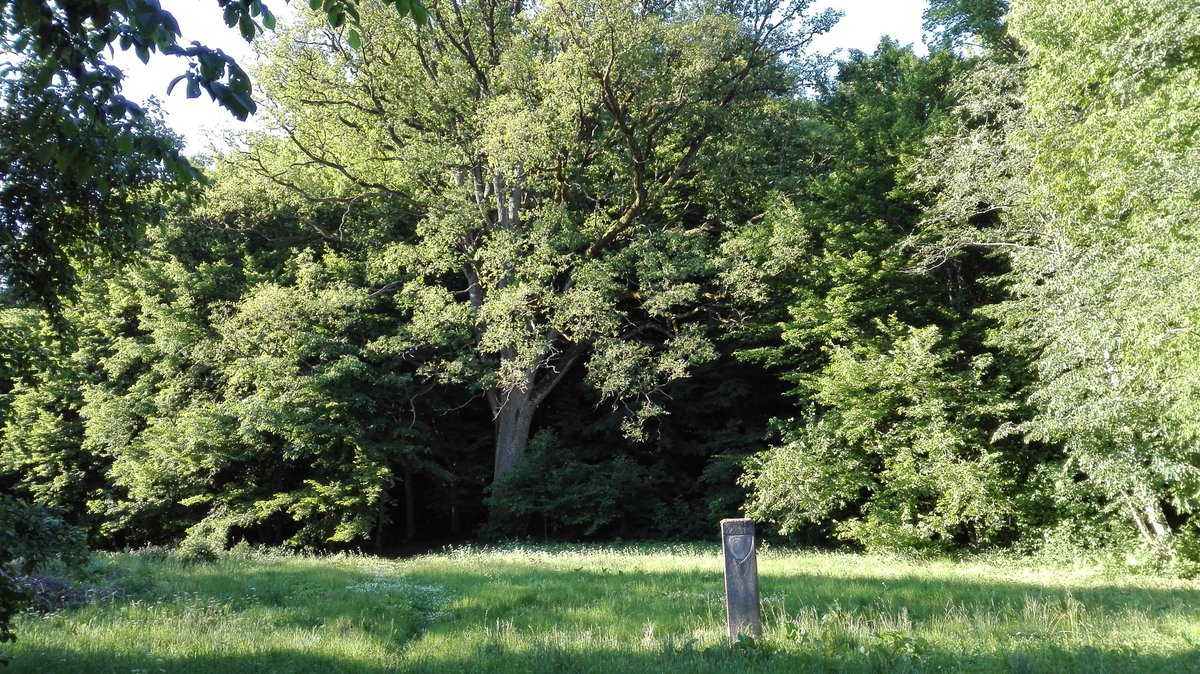

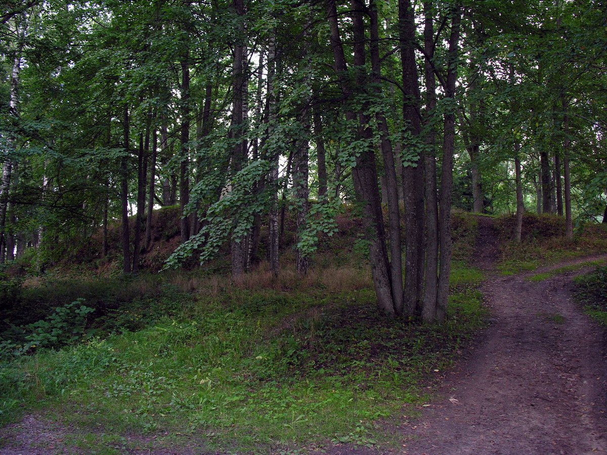
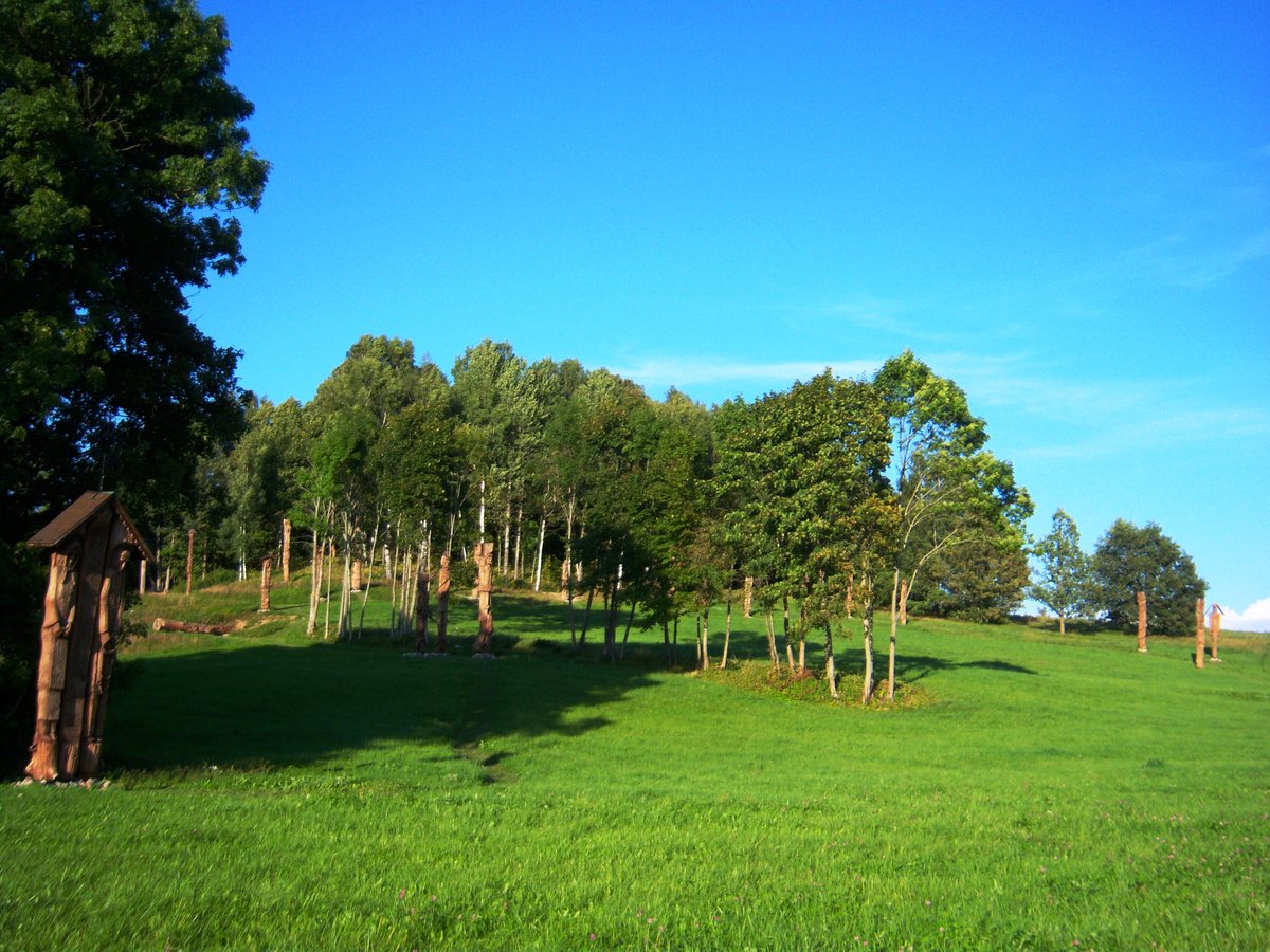
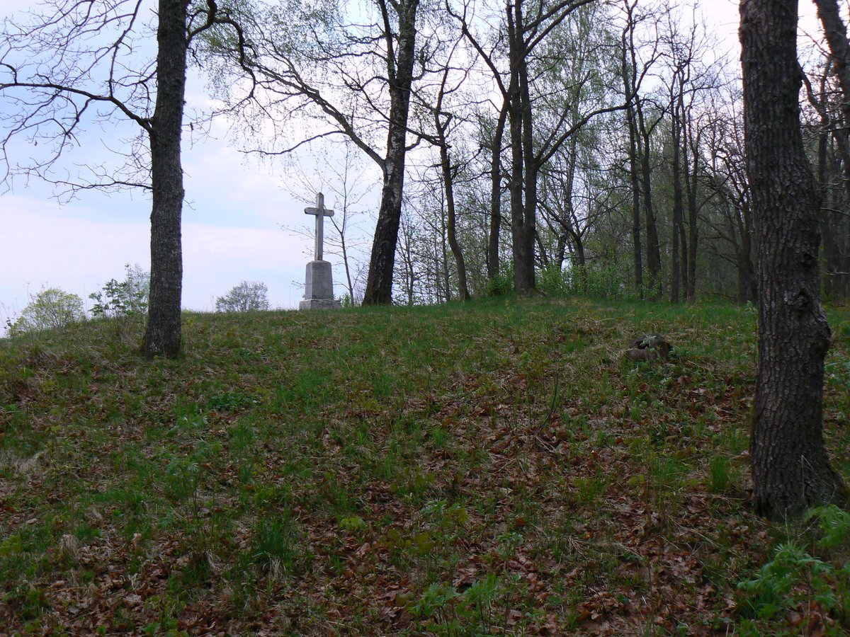
The Veiviržėnai hillfort is located on a natural promontory on the left bank of the Veiviržė river. The site is characterized by a trapezoidal clearing 37 meters long, measuring 34 meters wide at the eastern end and 11 meters wide at the western end. On the eastern side, a 3-meter-high embankment 20 meters wide meets a 5-meter-high slope that drops into a former ditch. To the north, an 8-meter-wide, 4-meter-deep trench separates the fort from nearby heights, joining a natural ravine to the east.
Historical records date the hillfort to the first millennium, with activity continuing until the 13th century. In 1905, Liudvikas Kšivickis excavated a pit in the clearing and detected a cultural layer 45 centimeters thick. Subsequent archaeological research was conducted by the Institute of Lithuanian History in 1963. The terrain features slopes reaching 15 meters in height, and while the clearing itself is grassy, it is surrounded by thickets of trees.
Visitors can reach the site by taking the road from Veiviržėnai to Balsėnai. After passing through Veiviržė and turning right toward the south, one can travel 400 meters along a field path. The site is located in front of a private farm where a grassy clearing contains a protected oak tree of the Veiviržėnai hillfort.
Sources: Wikipedia, OpenStreetMap, Wikidata, Wikimedia Commons



Written by Nicolo Ciampini
Discuss this with the author and others
No comments yet. Be the first to start the conversation.