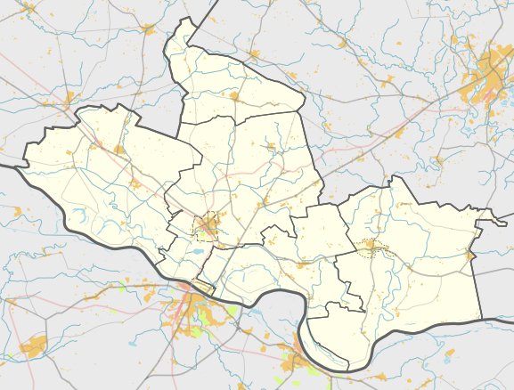

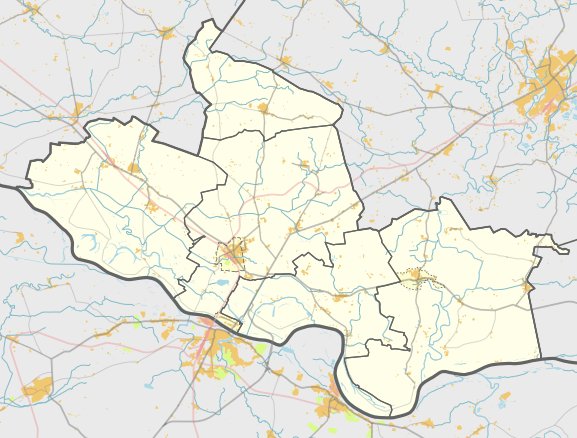
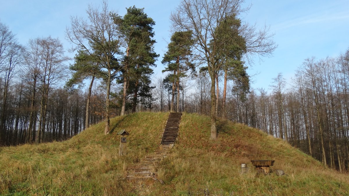
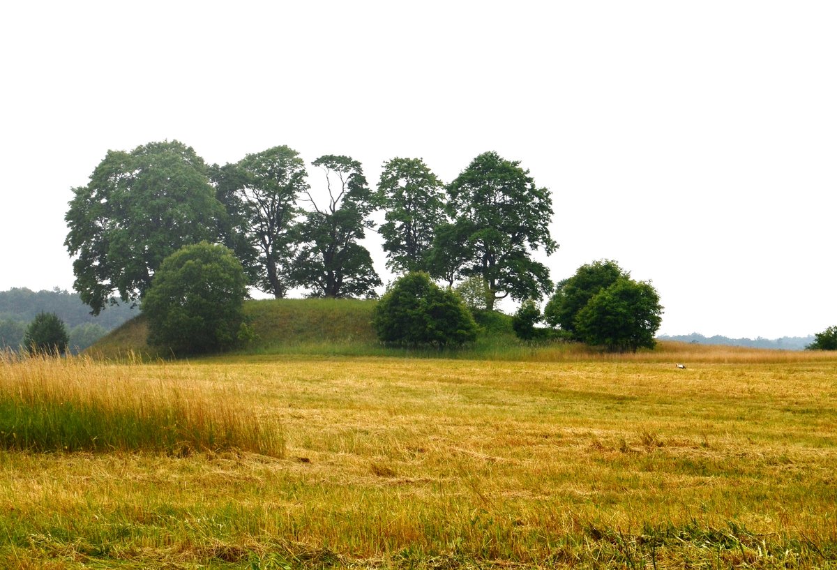
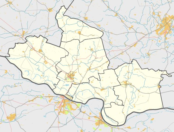
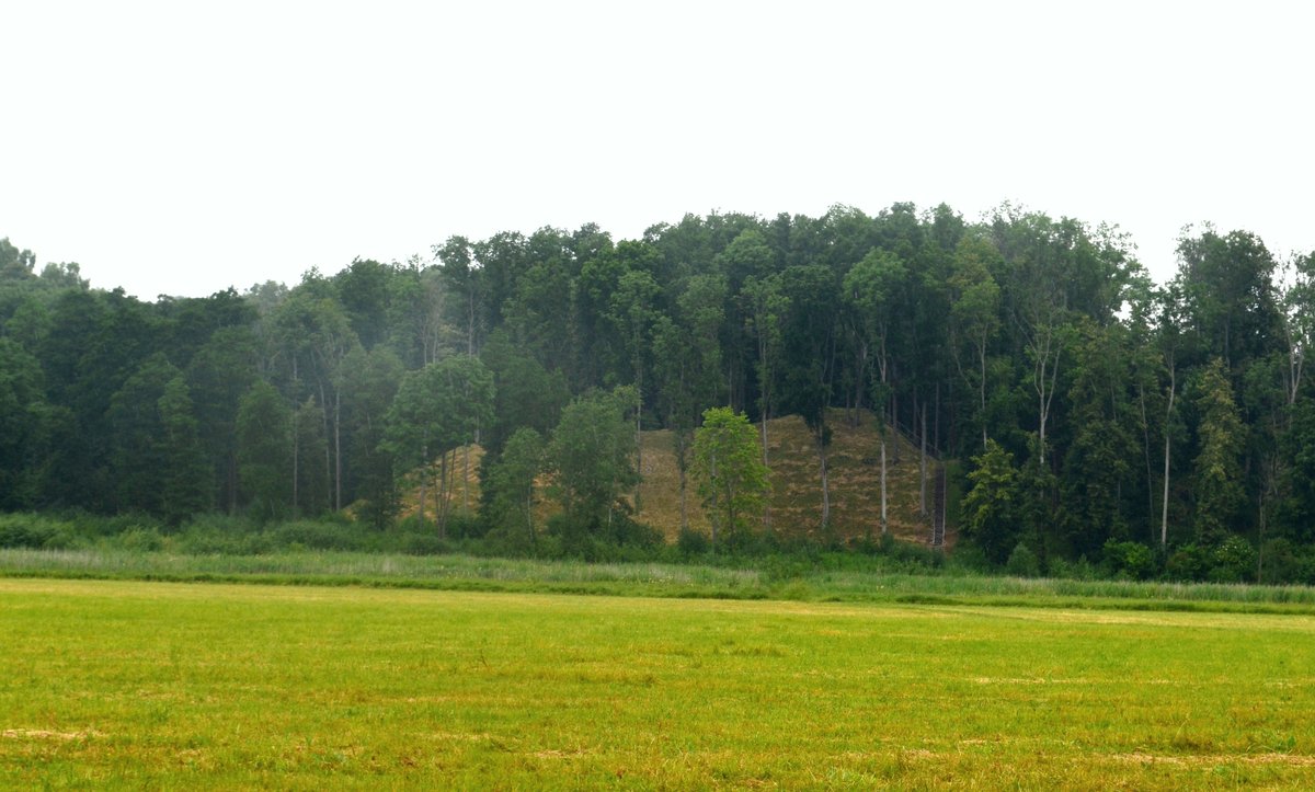
Nestled 4 kilometers northwest of Vilkyškiai, the Šventkalnis hillfort stands as a relic stretching from the 1st millennium to the 13th century. Located in the Pagėgiai municipality, the site is reachable from the Vilkyškiai - Greižėnai Barzūnai road. The hillfort is constructed in a valley on a protruding hill, featuring a rectangular courtyard that is elongated in a north-south direction.
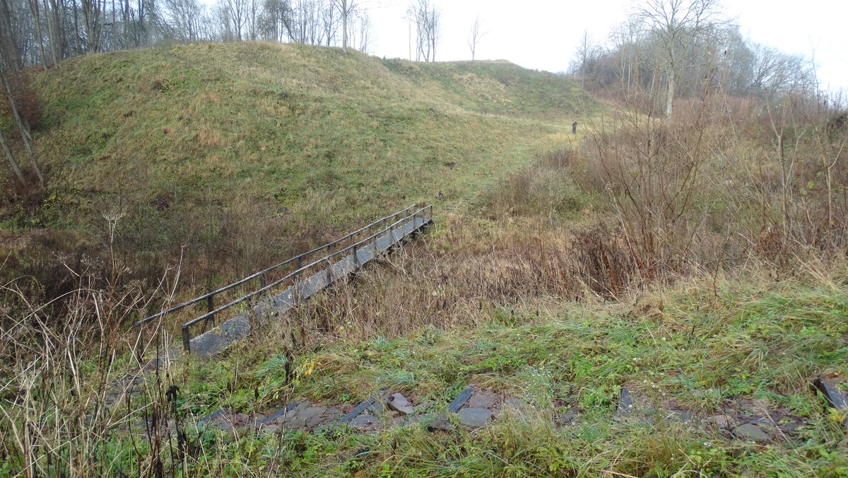
Protective structures define the site's layout. Along the northern edge of the courtyard, a rampart stands 1.5 meters high and 11 meters wide. At its southern end, a curved rampart 2 meters high and 21 meters wide features an outer slope 6.5 meters high, which descends into an 18-meter wide and 1.5-meter deep trench. This trench turns into a 4-meter wide terrace on the eastern slope.
Behind the trench lies a second curved rampart, 32 meters long, 2 meters high, and 16 meters wide. Further back is a second defensive trench measuring 24 meters long, 43 meters wide, and 2 meters deep. At a level 5 meters below the northern edge of the courtyard is a second rectangular platform measuring 36 by 16 meters, separated from the rest of the hill by a 17-meter wide and 1.2-meter deep depression.
Sources: Wikipedia, OpenStreetMap, Wikidata, Wikimedia Commons


Written by Nicolo Ciampini
Discuss this with the author and others
No comments yet. Be the first to start the conversation.