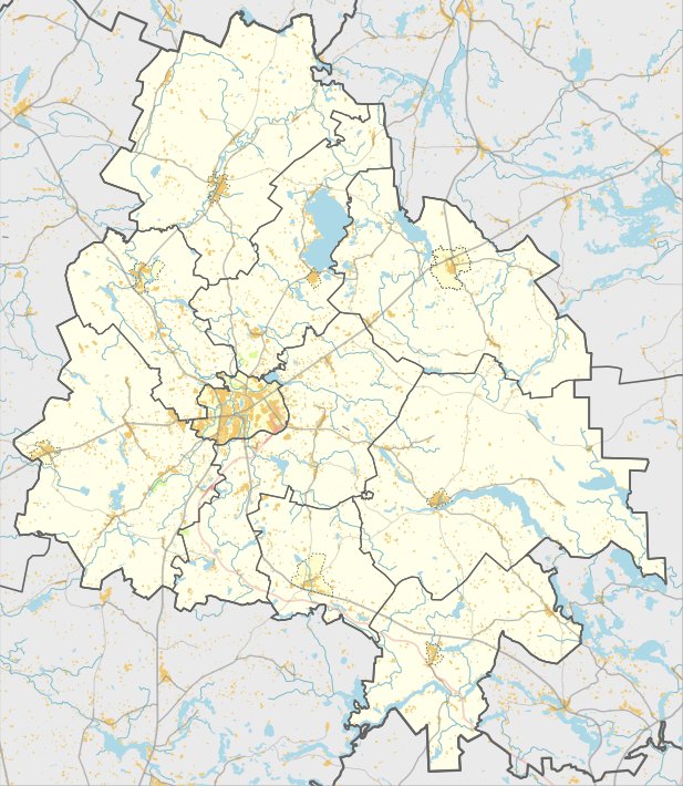

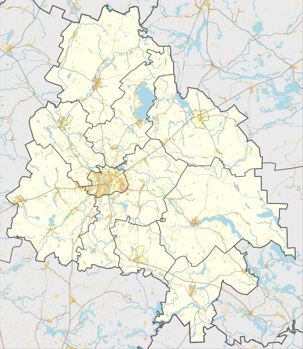
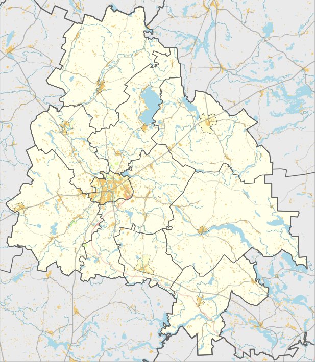
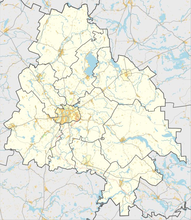
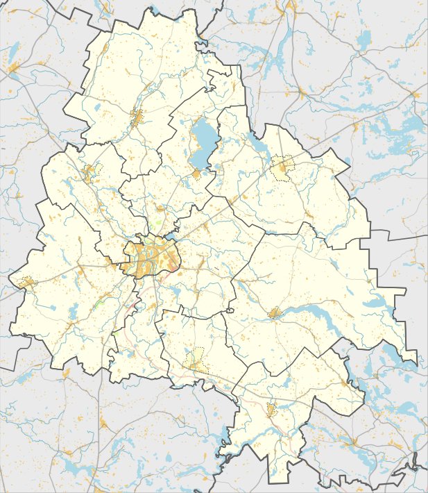
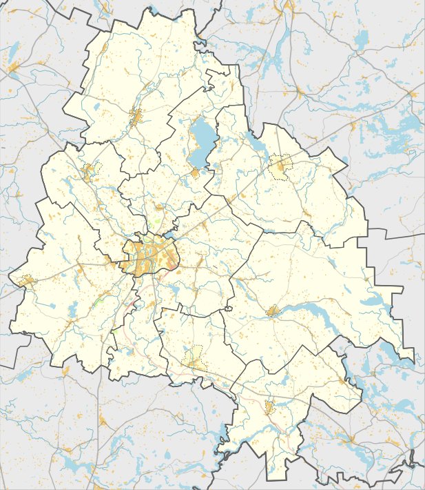
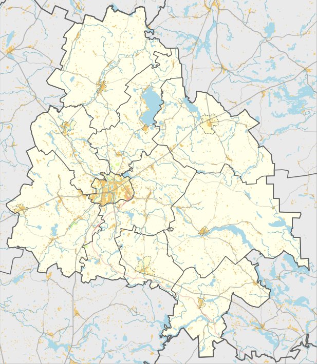
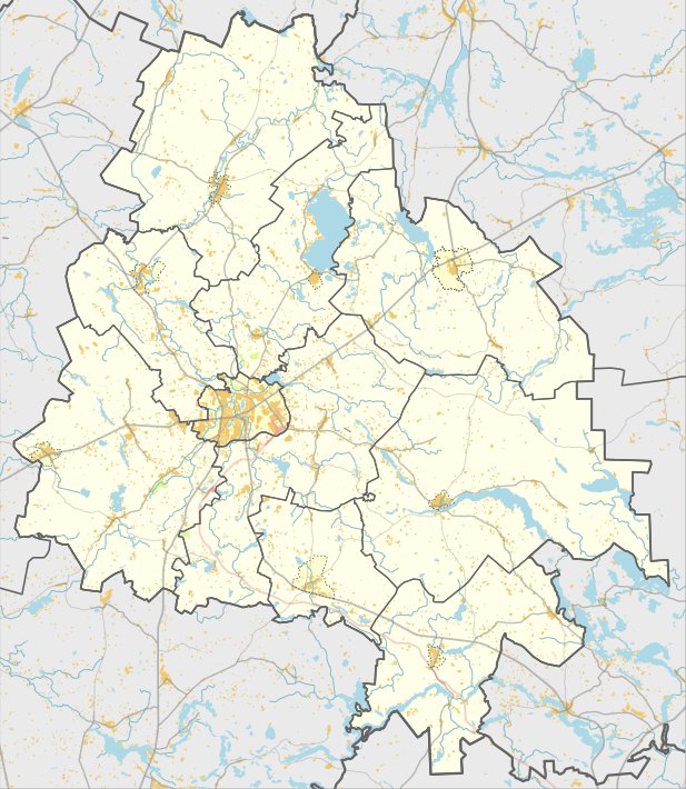
The hillfort in Vaikutėnų, registered as AR1331 by the Lietuvos Respublikos kultūros paminklų sąrašo, is found within the territories of Utenos rajono savivaldybės in Vaikutėnuose. This site, which has a unique object MC code 3607, was surveyed by the Institute of History in 1970. The Lithuanian Minister of Culture issued the order to recognize it as a state-protected monument on April 29, 2005 - Nr. ĮV-190.
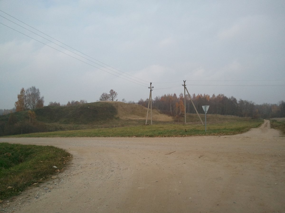
The hillfort occupies an area of 3 hectares and is largely overgrown with trees and undergrowth. The oval courtyard measures 22x10 meters and runs in a north-south direction. Signs of burning are visible on the slope 3 meters below the courtyard. On the north-east slope, there is a 5m wide terrace 2m below the courtyard, and a second 6m wide terrace 2m below that. The slopes stand between 16 and 17 meters high.
While the courtyard and the eastern slope are overgrown, other slopes are covered with mixed forest. The site is reachable from the A6 Utena - Zarasai road, about 250 meters west of the Vaikutėnų turnoff.
Sources: Wikipedia, OpenStreetMap, Wikidata, Wikimedia Commons

Written by Nicolo Ciampini
Discuss this with the author and others
No comments yet. Be the first to start the conversation.