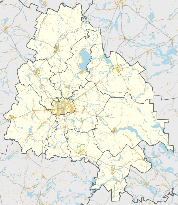
Nuodėgulių Piliakalnis, Gikiškio Kalnas, is a unique archaeological site (code 3613) located in Daugailių seniūnija in the Utena region. To reach it, take the road from Utena to Zarasai, turn right 1.5 km before the Radeikių bend, then continue for 400 meters across the fields. The site is located in a separate hollow in the western part of the Vinkšninė lake’s bottom. The mound of the hillfort is oval in shape, surrounded by a ditch, with dimensions of 20x10 meters.
Beneath the mound, 10 meters down, there is a 10x10-meter step-like terrace, decorated with a stone statue and a burial platform. The mound was built with rubble, covering and hiding it. The mound, with a height of 12 meters, has a stone collar. The hillfort was built in the Iron Age, around the 1st millennium BC. The cultural heritage territory of the site covers an area of 3.97 hectares. The visual protection zone of the site covers an area of 865,000 square meters. The site is also said to be inhabited.
Sources: Wikipedia, OpenStreetMap, Wikidata, Wikimedia Commons
Written by Nicolo Ciampini
Discuss this with the author and others
No comments yet. Be the first to start the conversation.