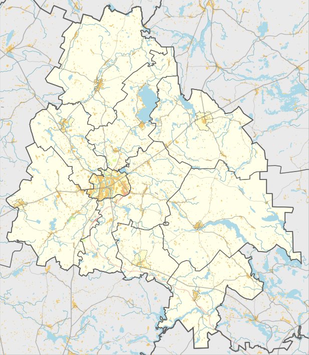

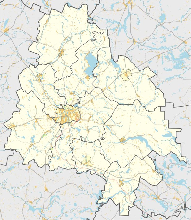
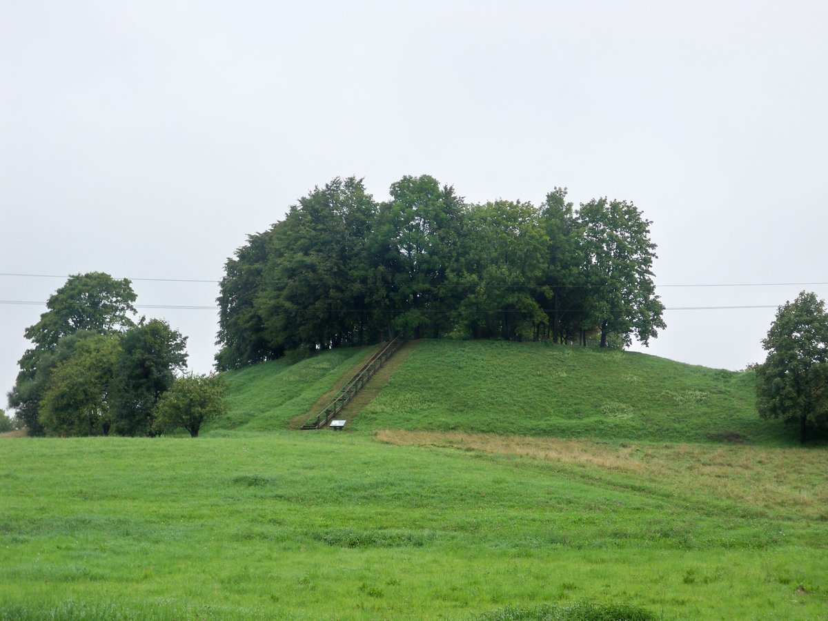
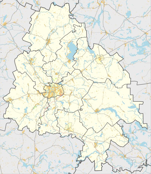
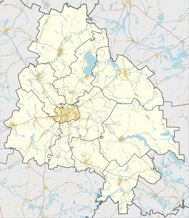
Ruklių piliakalnis is an oval hillfort located in the Utenos district. The main yard measures 25 by 16 metres, oriented northwest - southeast, and is 2 metres higher in the northern part.
Tucked into the southeast slope is a triangular terrace measuring 16 by 16 metres. This area sits 2 metres lower than the main yard and descends further towards the southeast. The slope of the hillfort stands 15 metres high.
Archaeologists from the Institute of History surveyed the site in 1958 and 1970. They identified a settlement on the northern bank, covering an area of 0.5 hectares, where simple ceramics were found. The fort itself dates from the 1st millennium BC to the beginning of the 1st millennium AD.
Today, the site is a protected cultural monument covering an area of 2 hectares. The area is overgrown with weeds, and birch trees grow in the southeast slope and in the yard. The remains of the settlement and the fortification are preserved as part of the national cultural heritage.
Sources: Wikipedia, OpenStreetMap, Wikidata, Wikimedia Commons
Written by Nicolo Ciampini
Discuss this with the author and others
No comments yet. Be the first to start the conversation.