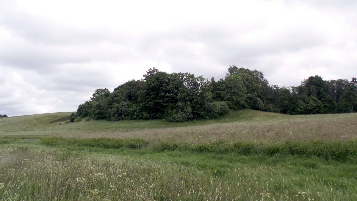

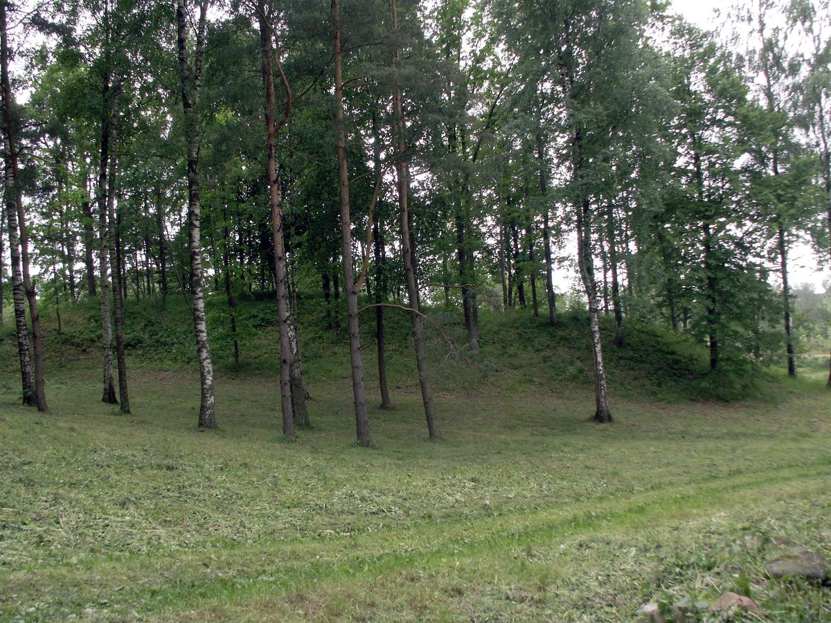
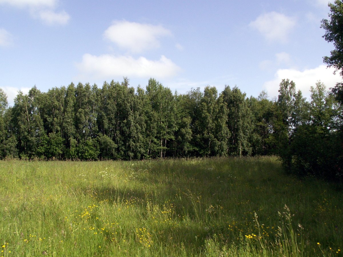
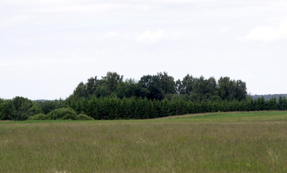
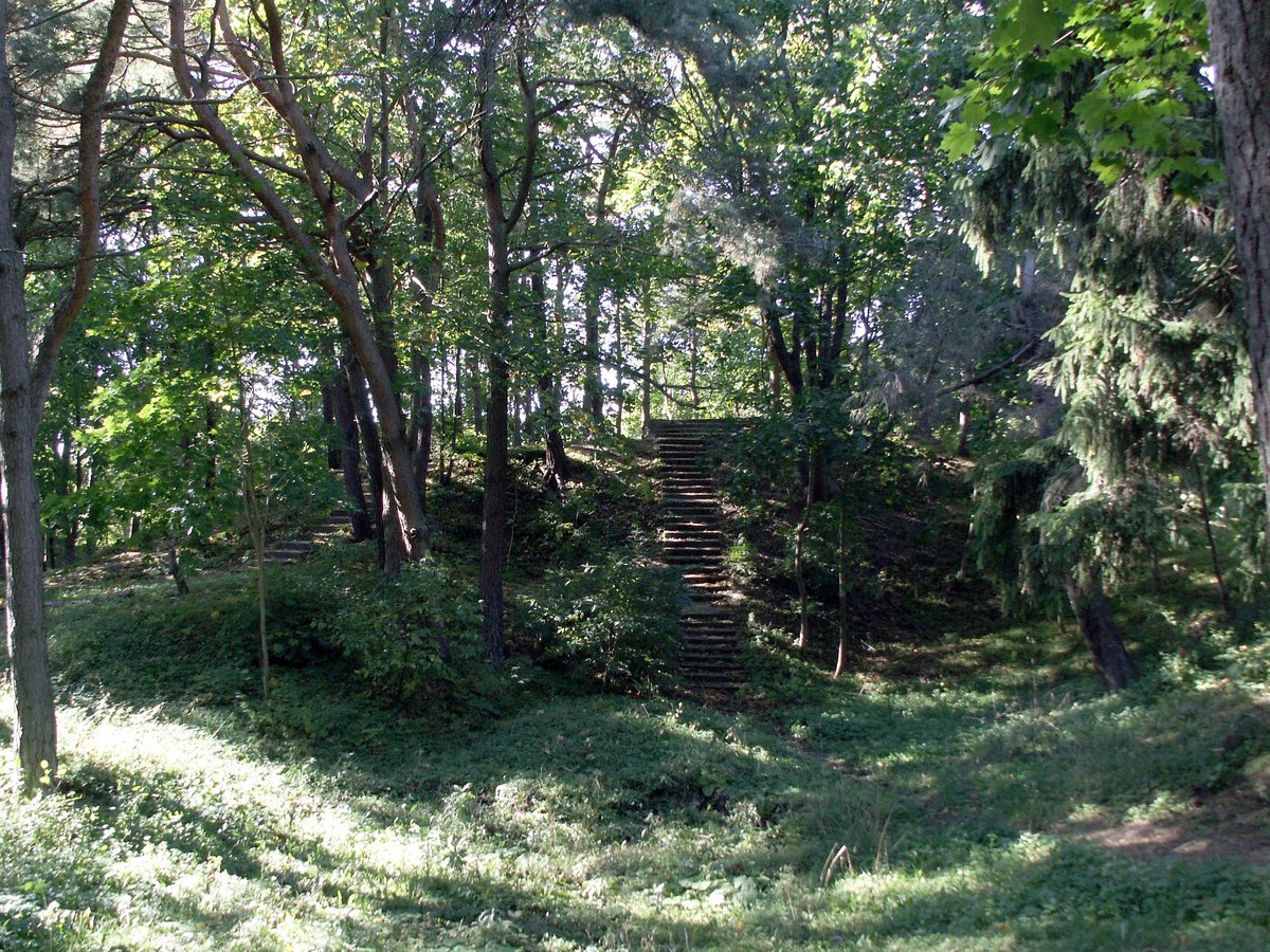
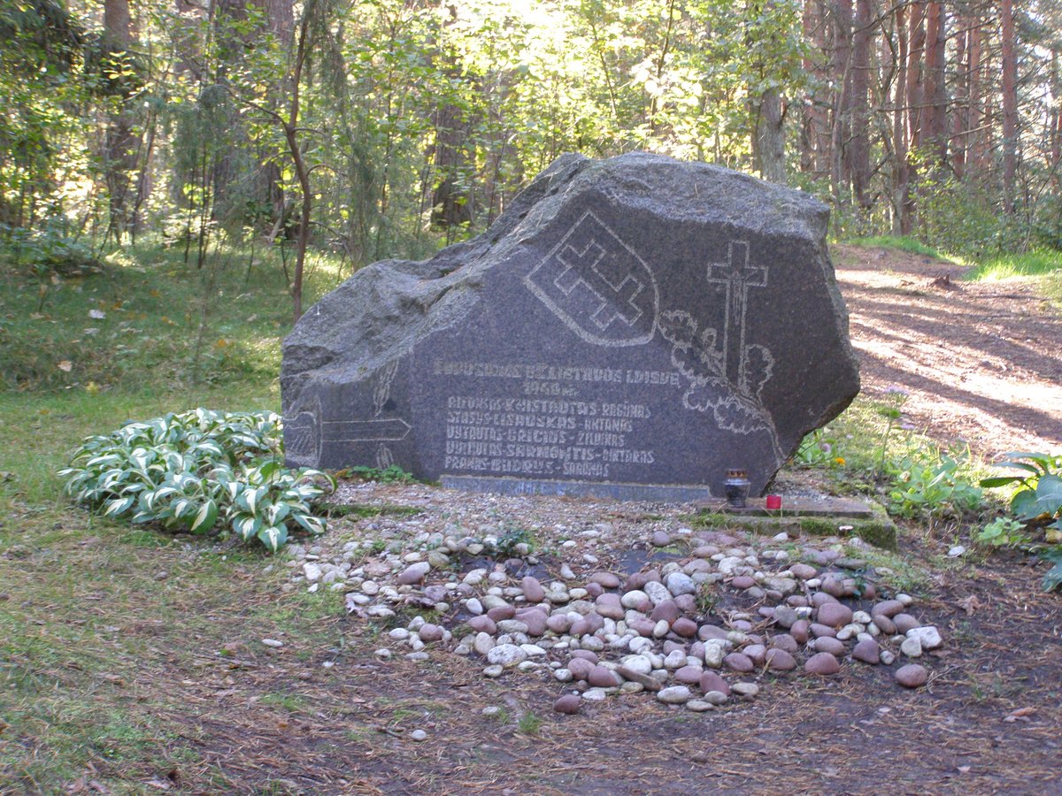
Valėnų piliakalnis, also known as Pilale or Raudonkalnis, is a riverine hillfort situated on the right bank of the Babrūna river. It sits on a sharp spur of land that drops into the Dange river valley. The layout features a rectangular courtyard approximately 70 metres long and up to 40 metres wide, tilted towards the southwest. To the east and northeast, a defensive rampart stands about 1.5 metres high, protecting a former settlement area.
Scientific investigations have traced the history of the site back to the first half of the first millennium. In 1963 and 1966, excavations led by Adolfas Tautavičius failed to find the Cartų hillfort in Sarčiai, leading researchers to suggest it might be identified with Valėnų piliakalnis. Subsequent work in 1984 and 1992 uncovered charred clay, iron slag, and remains of hearths and wooden structures in the surrounding area.
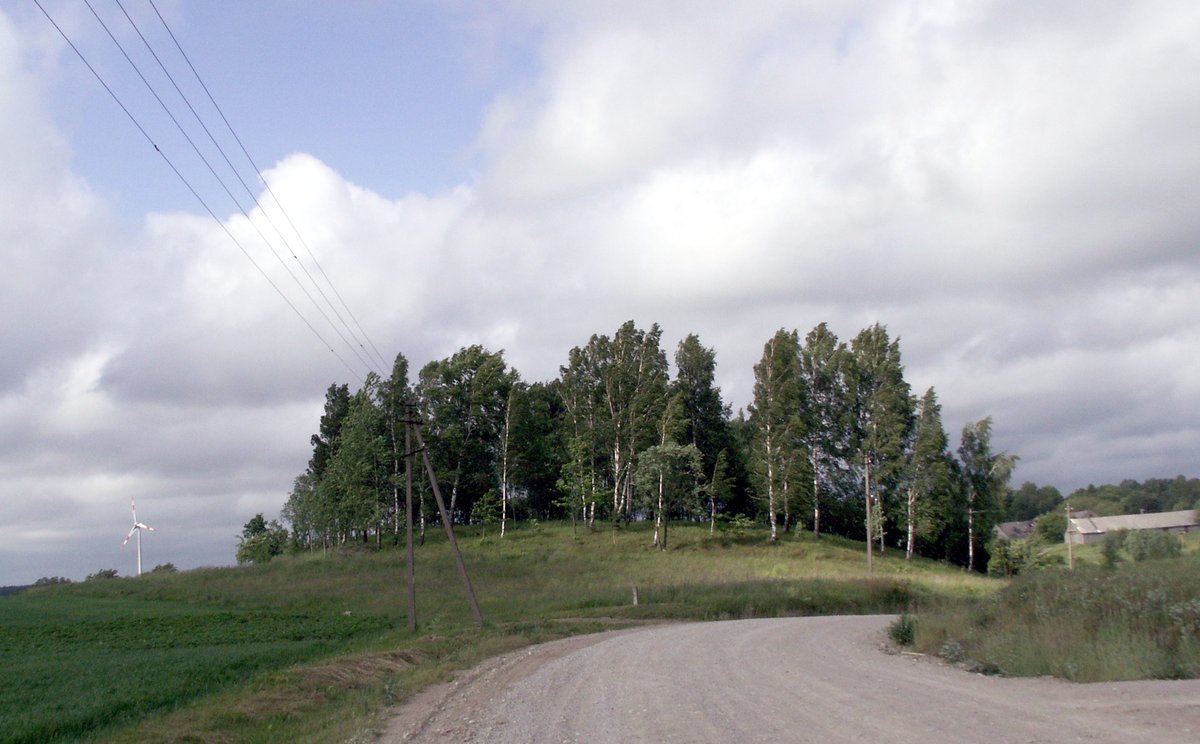
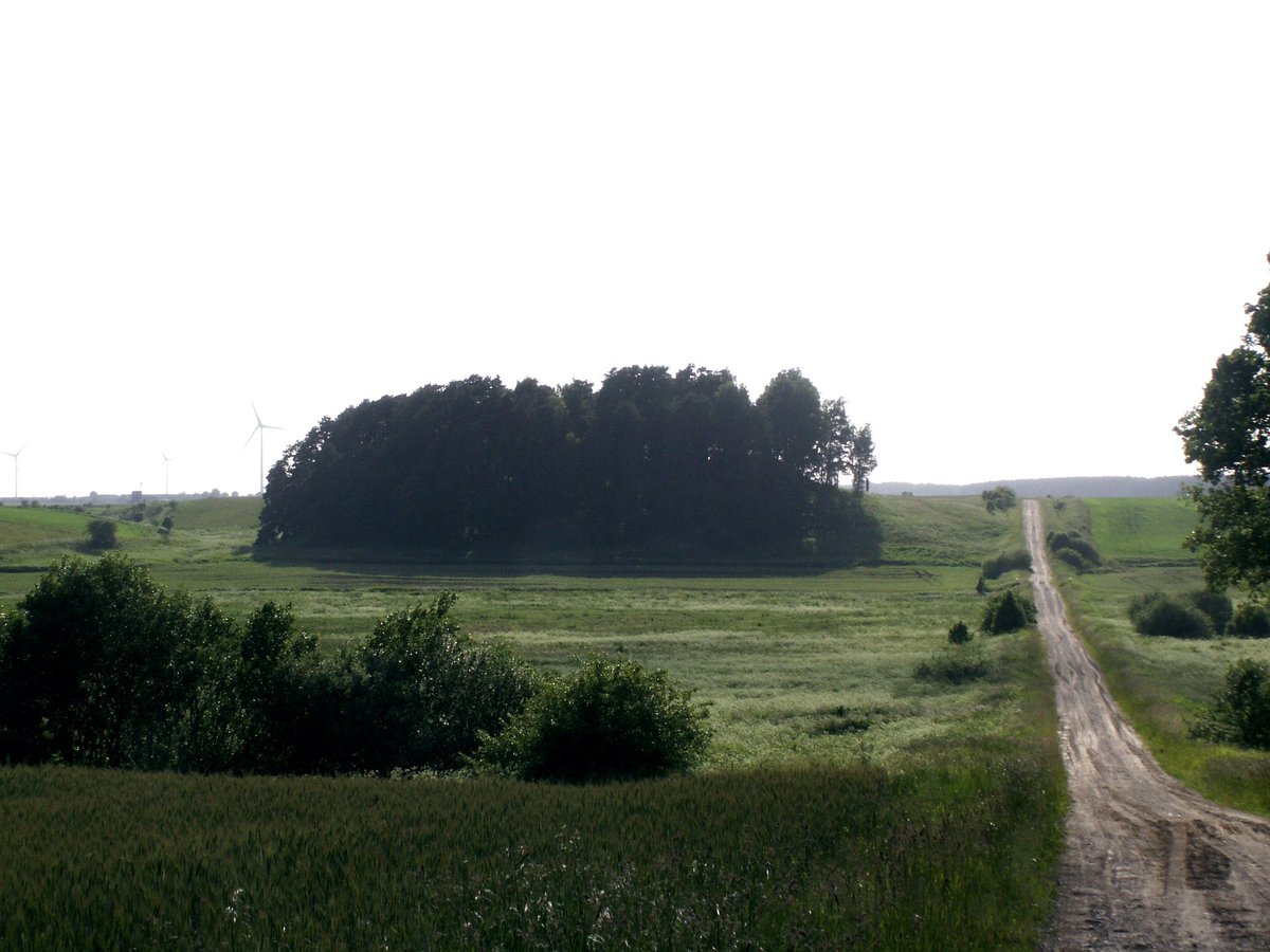
Today, the site is a protected state cultural monument and a cultural value. It can be reached via the Kretinga-Triušiai-Klaipėda road. The site is described as a forested elevation situated on the left side of the road - 200 m east of the junction with the Dange river.
Sources: Wikipedia, OpenStreetMap, Wikidata, Wikimedia Commons


Written by Nicolo Ciampini
Discuss this with the author and others
No comments yet. Be the first to start the conversation.