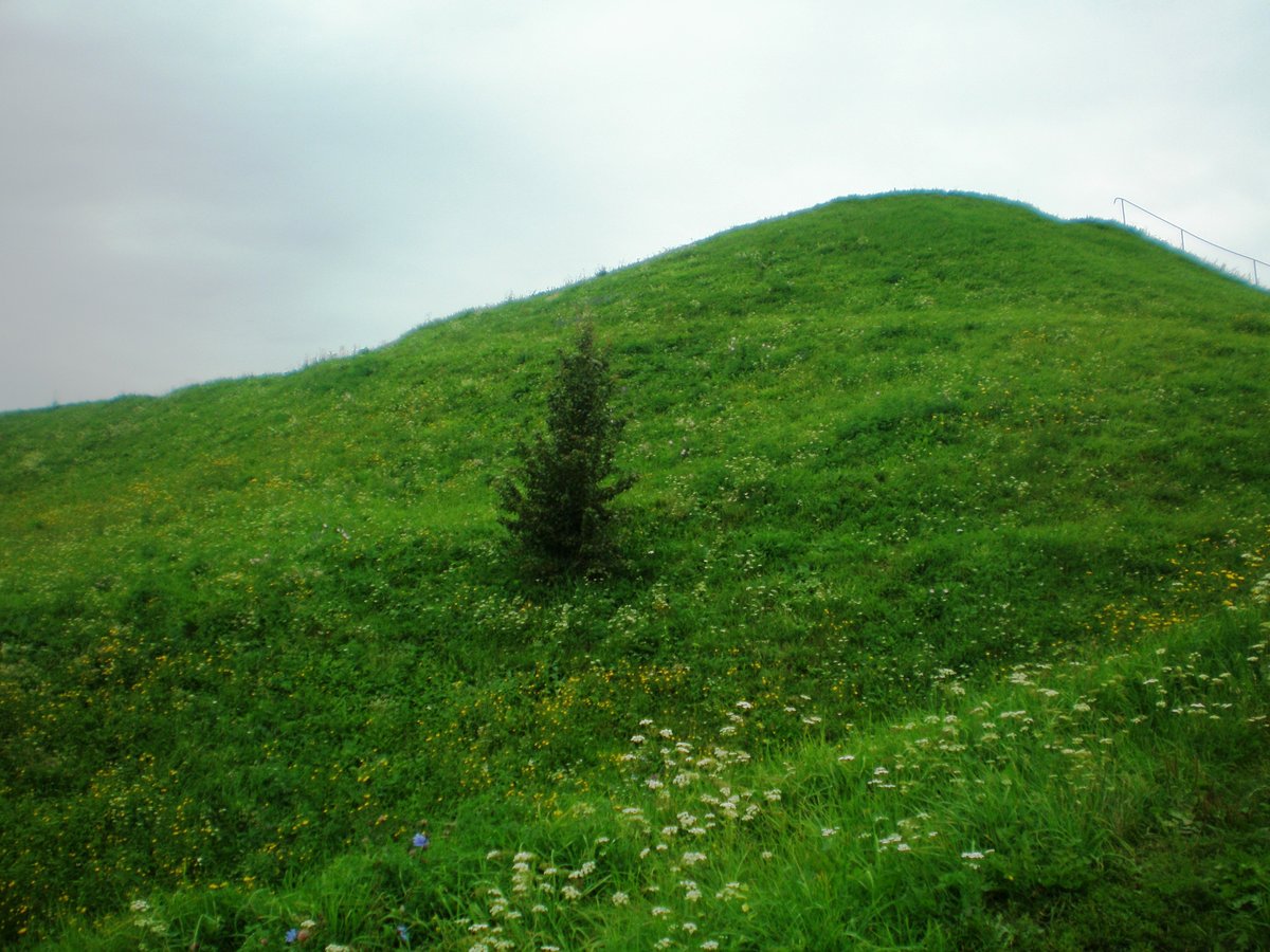

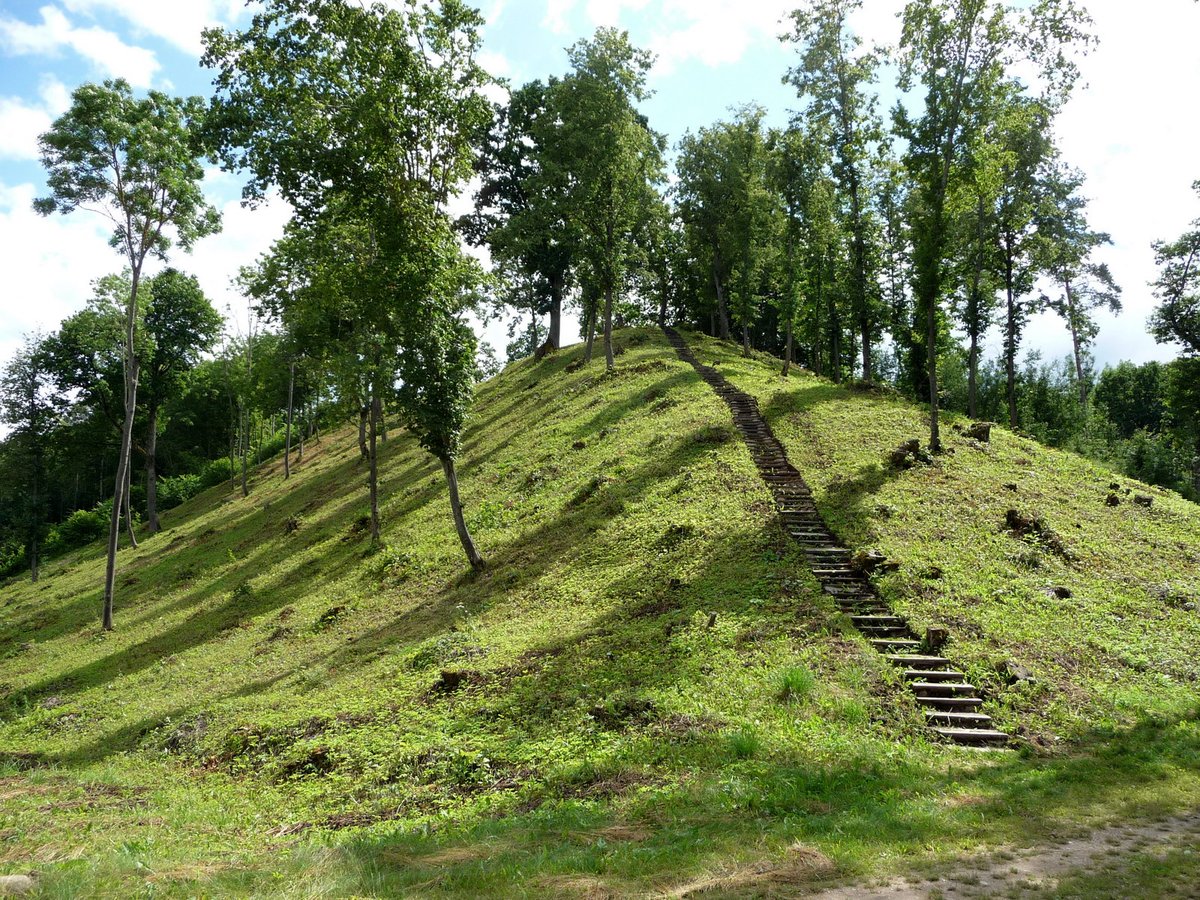
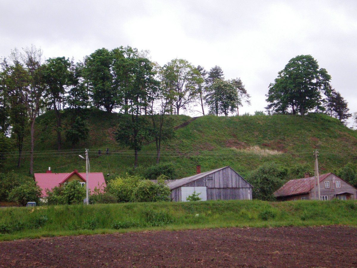
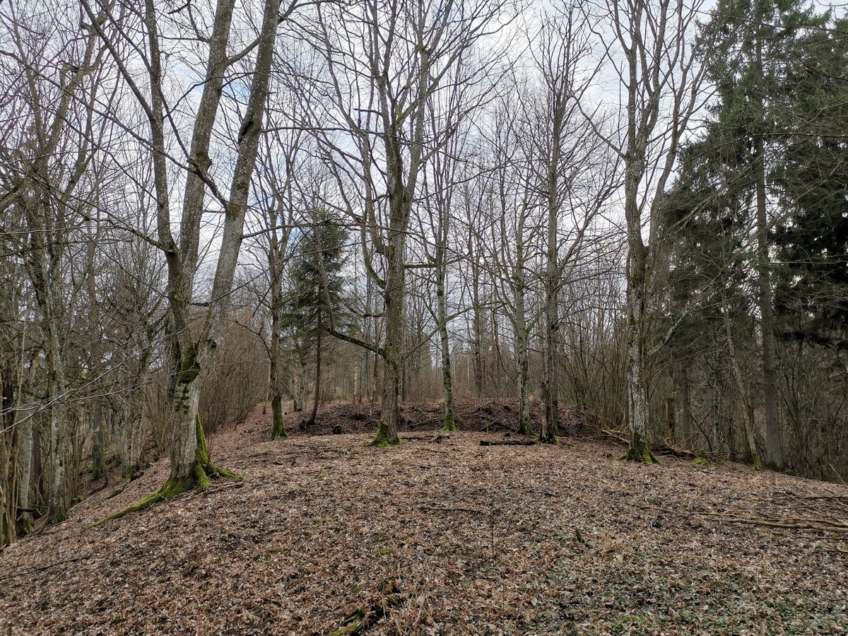
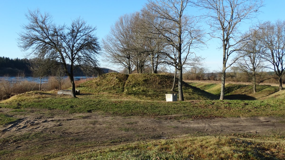
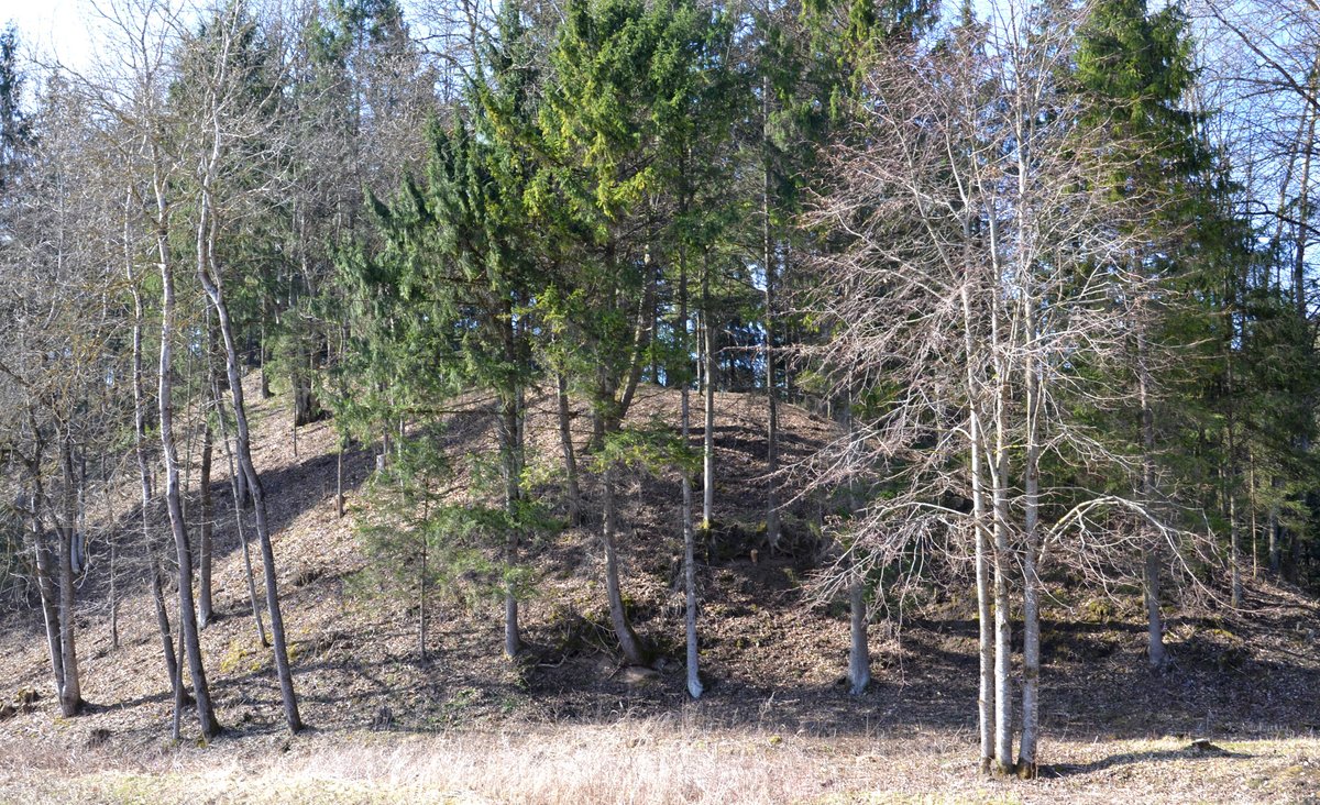
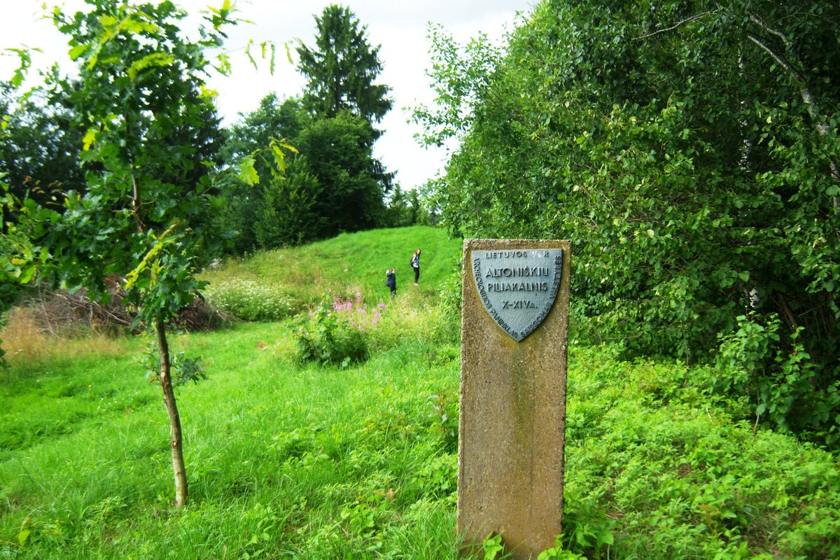
Seredžiaus piliakalnis I, also known as Palemono kalnas, is a hill-fort and settlement located in the western part of Seredžiai. It is situated on a promontory of the upper Nemunas terrace, shaped by the Pieštvė stream. The site is reached by following a paved road 400 meters west from the southern side of Seredžiai church, then 100 meters west from there.
The area is nearly triangular and elongated in an east-west direction, measuring 50 meters in length and 35 meters in width to the east. At its eastern end, there is a first rampart 7 meters high and 20 meters wide, featuring an outer slope 9 meters high that descends into a 4-meter deep trench. A second rampart, 3 meters high and 10 meters wide, is built on the outer side of the trench. The site features a terrace 2 meters wide located 6 meters below the courtyard on the western slope. The slopes are 30 meters high, with the upper 6-8 meters artificially constructed.
Archaeological findings indicate the site dates back to the mid-1st millennium to the beginning of the 15th century. A settlement covers an area of 1.5 hectares on the eastern and southern slopes, where pottery, clay plaster, and animal bones have been found. Historically, the Pieštvė castle stood on this site between 1293 and 1363. It was defended by the Crusaders and eventually burned down multiple times before being captured and burned in April 1363. The castle was restored after the Battle of Grunwald in the years 1412-1413.
Sources: Wikipedia, OpenStreetMap, Wikidata, Wikimedia Commons

Written by Nicolo Ciampini
Discuss this with the author and others
No comments yet. Be the first to start the conversation.