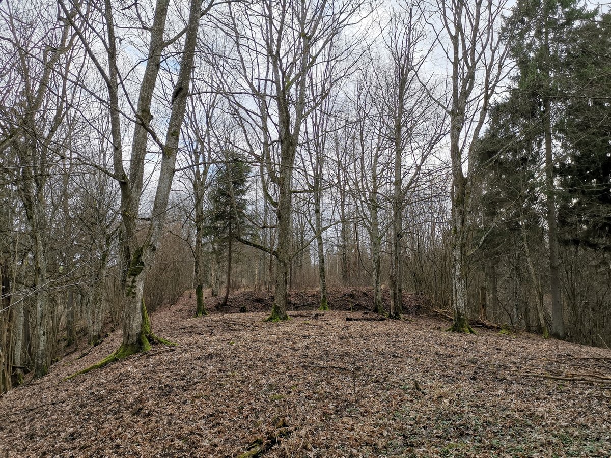
The archaeological site, Antkalnės piliakalnis, is located in Jurbarko rajono savivaldybės territory, near Antkalnės hamlet, Veliuonos seniūnija. It overlooks the Gystaus upelio ravine, between two hills. The site is situated on the left bank of Gystaus upelio, near the confluence of two streams. The archaeological site is elongated, measuring about 45 meters long and 30 meters wide. The hill's longest edge is situated towards the west, is about 1.2 meters high, 7 meters broad, and has a ditch 3.5 meters wide and 1.5 meters deep.
Stones, approximately 6-17 meters high, are found at the site. The site dates back to the 2nd millennium. The ditch surrounding the site was constructed. The site was discovered in 1970 and highlighted by the State Archaeological Commission in 1970. The site's stones, found in the central area, were almost completely covered by soil. The site's longest edge is situated towards the west. The site's ditch is 3.5 meters wide and 1.5 meters deep.
Sources: Wikipedia, OpenStreetMap, Wikidata, Wikimedia Commons
Written by Nicolo Ciampini
Discuss this with the author and others
No comments yet. Be the first to start the conversation.