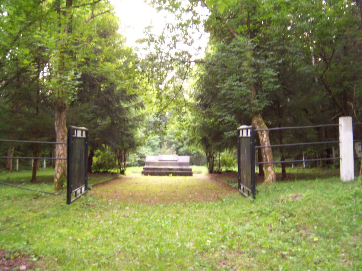

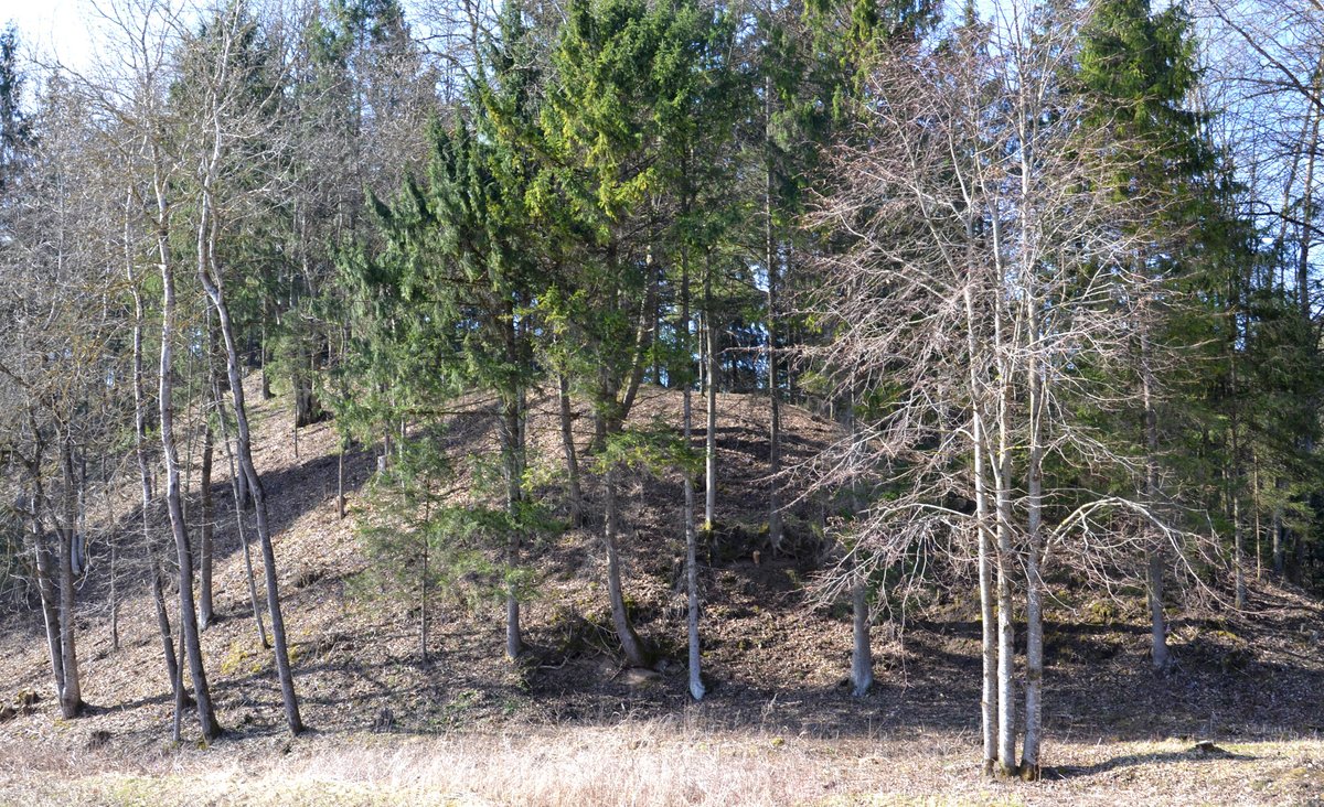
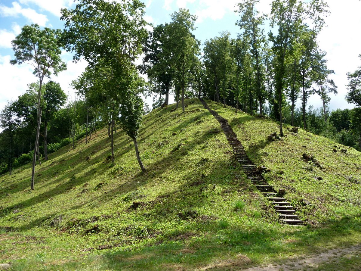
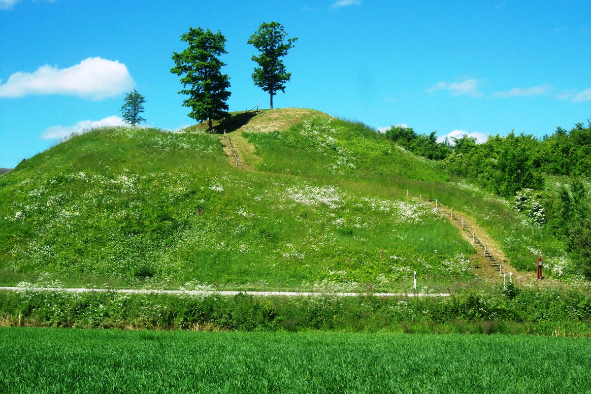
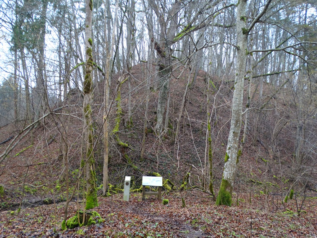
Located in the Kauno district near the village of Jaučai, Jaučakių piliakalnis is an archaeological site comprising both a hillfort and an ancient settlement. The hillfort, also known as Kartuvių kalnas, is situated in a forest near the right bank of the Nemunas river. It sits on the western part of a promontory with slopes rising 10-12 meters high, featuring a long summit plateau measuring 46x22 meters.
On the eastern slope of the hillfort lies an ancient settlement with a cultural layer up to 1.1 meters thick. Archaeological excavations have revealed pottery with a rough surface and glazes, amber, stone tools, hearth remains, pieces of clay plaster, and a coin. Some parts of the settlement were destroyed during the creation of a sod farm. The remaining finds are preserved in museum collections.
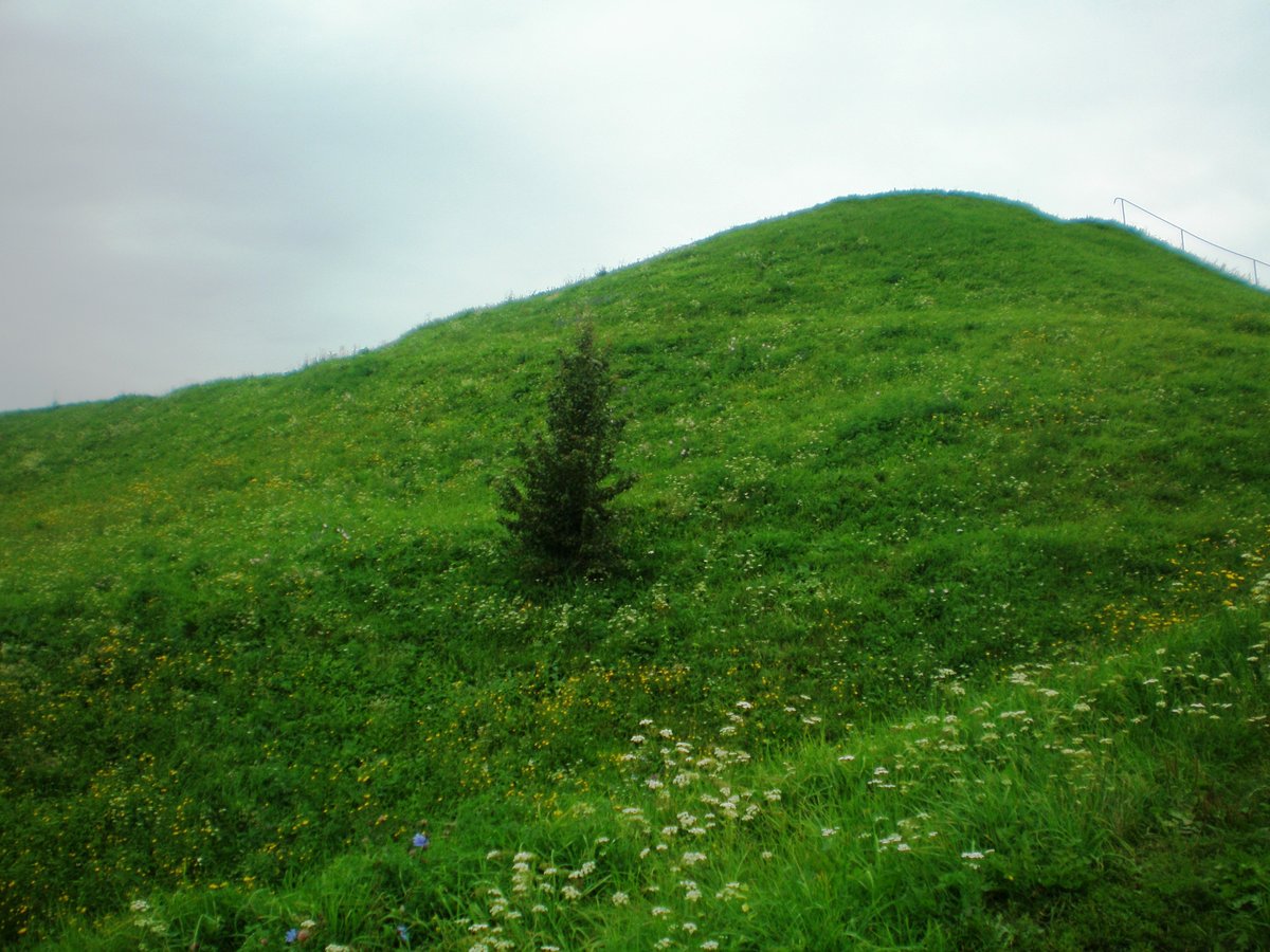
Nearby stands an alkakalnis (a high hill), also known as Svirnakalnis, which features a circular summit approximately 25 meters in diameter. While the hillfort is associated with the history of the Pasten fortress (Castra Pasten), Petras Dusburgietis's chronicle mentions the crusaders' invasion into the land of Pastuva in 1292. Records from the 14th century describe the destruction and reconstruction of fortifications in the region, and some historians suggest the site may be related to the burned Wildenberg fortress of 1388.
Sources: Wikipedia, OpenStreetMap, Wikidata, Wikimedia Commons


Written by Nicolo Ciampini
Discuss this with the author and others
No comments yet. Be the first to start the conversation.