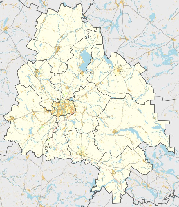

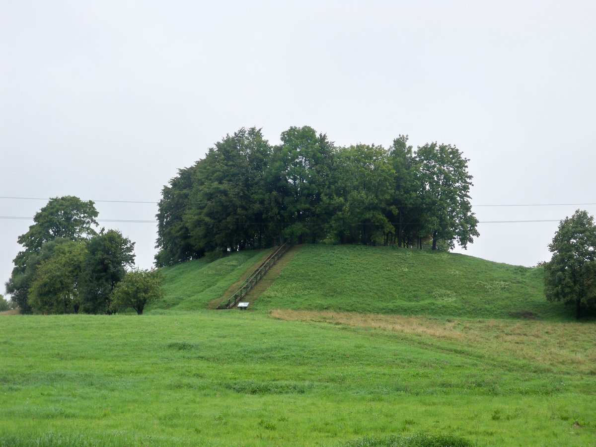
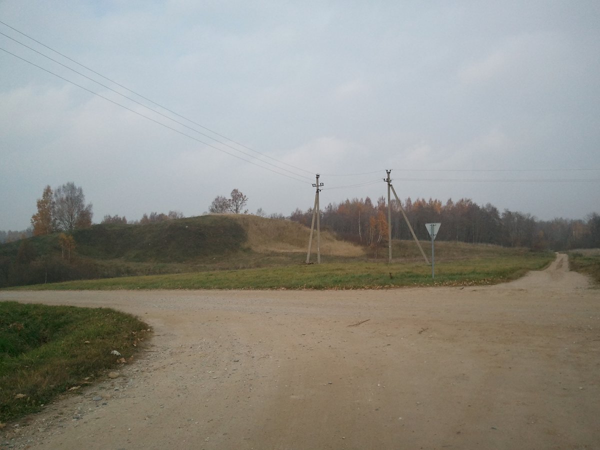
Bajoriškių piliakalnis is an oval-shaped hill-fort on the northeastern shore of Liminėlio Lake. The site measures approximately 40 by 15 metres and is oriented east-west, rising to 1 metre higher on its northeastern edge.
The fortification features distinct terrain modifications. The southern and western slopes reach a height of 21 metres, while the northern slope is shallower at 2 metres. Historically, the site was reinforced with bulwarths on the southern slope and ditches on the western side.
In 1970, the Institute of History surveyed the site and noted that no cultural layers were observed. Based on these findings, the hill-fort is dated to the period between the first millennium BC and the beginning of the first millennium AD.
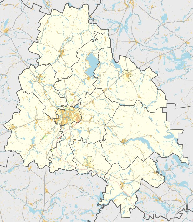
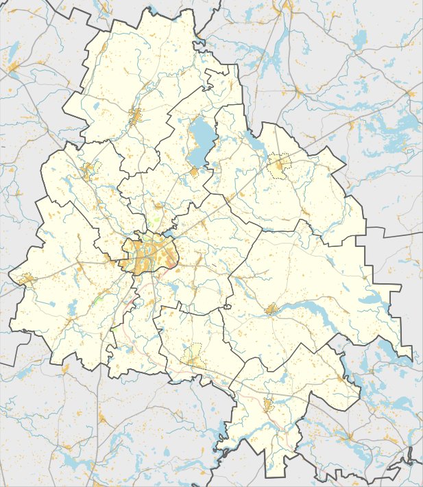
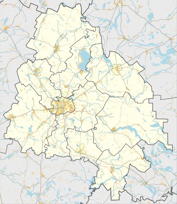
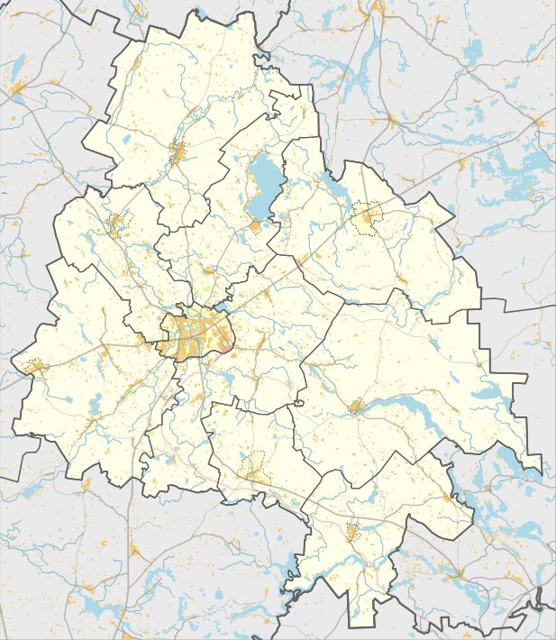
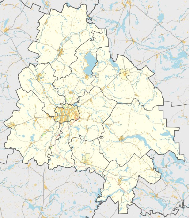
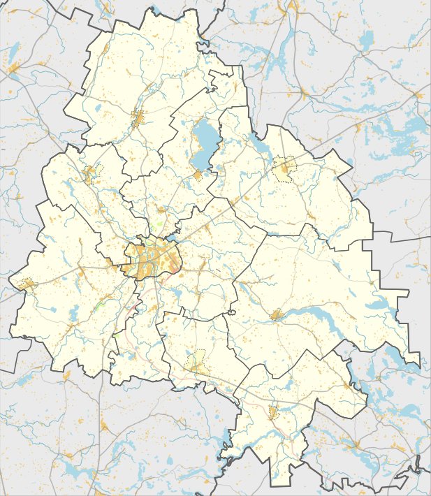
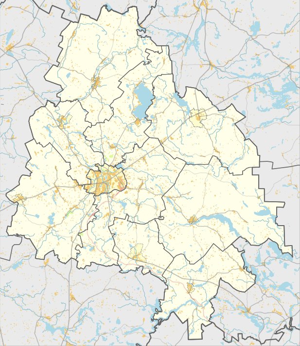
Located in the Utena district, the site is reachable from the Utena - Zarasai road by passing Liminėlio Lake and turning right for 200 metres. It remains a protected cultural monument and a notable archaeological site in the region.
Sources: Wikipedia, OpenStreetMap, Wikidata, Wikimedia Commons
Written by Nicolo Ciampini
Discuss this with the author and others
No comments yet. Be the first to start the conversation.