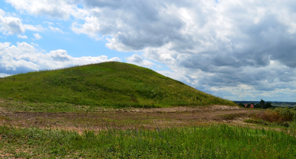

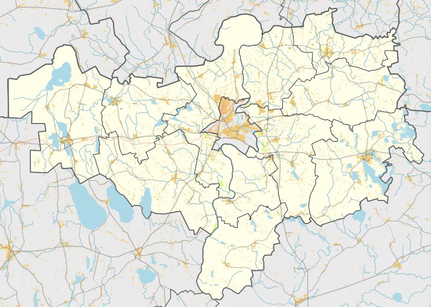
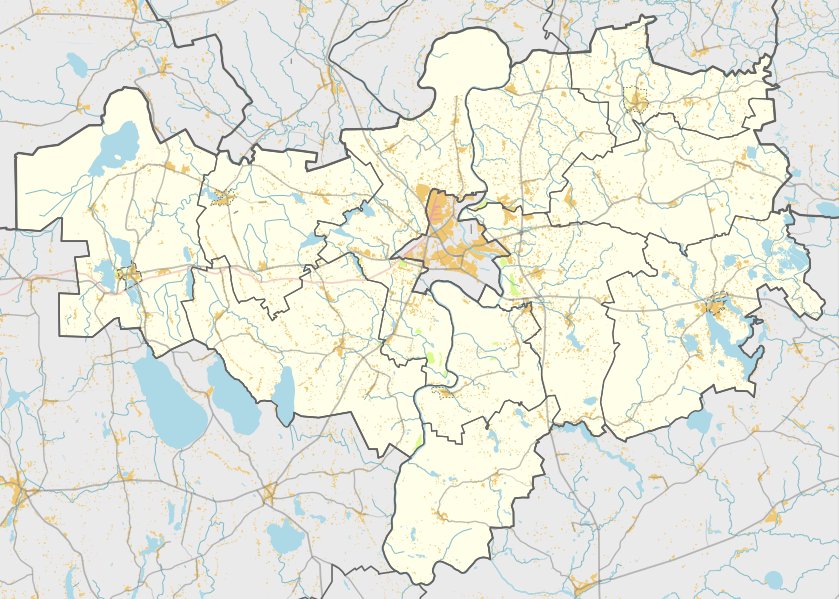
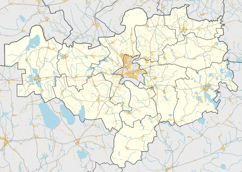
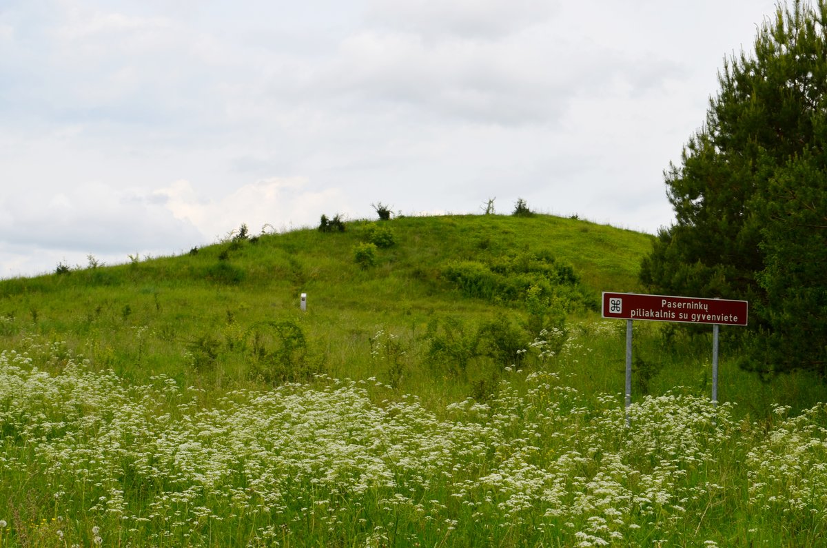
Papėčių piliakalnis is a hill fort located in the Miroslavo seniūnija, within the territory of Alytaus rajono savivaldybė, near the village of Papėčiai. It is situated in a field and is located to the north of Metelių ežeras. The site can be reached from the Buckūnai–Papėčiai road by turning right in Papėčiai towards Obelninkai to the east; it is located 800 meters to the left, to the north.
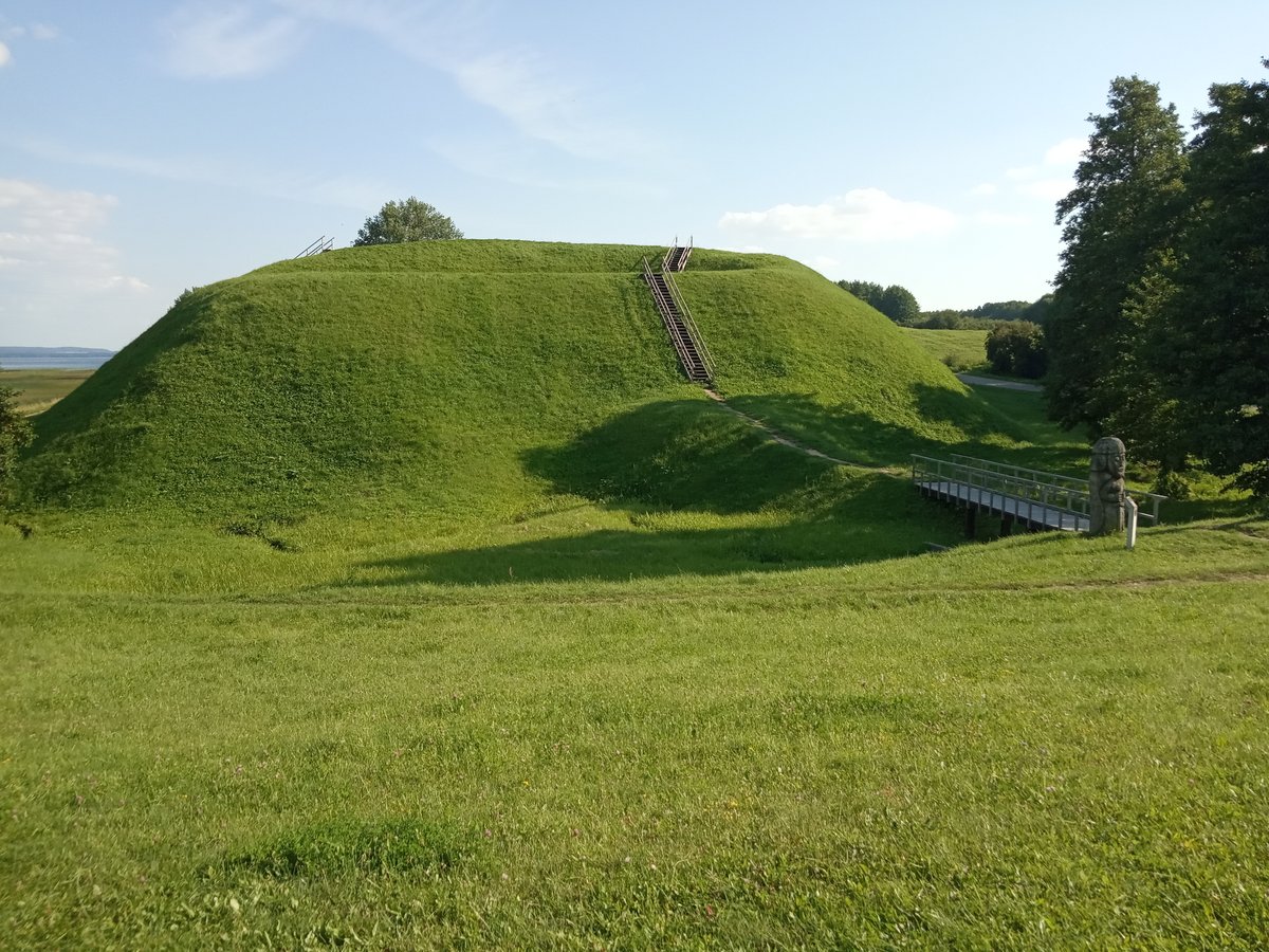
The oval-shaped clearing measures 24x19 meters, stretching in a north-south direction, with slopes of moderate height reaching 7 to 10 meters. While the hill fort was plowed for a long time, it is currently being grazed. The site dates back to the 1st millennium and was recognized as a state-protected site in 2005, covering an area of 21,000 m2.
From the Papėčių piliakalnis, visitors can enjoy a picturesque view of all three large Dzūkija lakes: Metelį, Obeliją and Dusią. The view also encompasses the Metelių settlement and the Miroslavo church. The archaeological site is protected as a state heritage site.
Sources: Wikipedia, OpenStreetMap, Wikidata, Wikimedia Commons
Written by Nicolo Ciampini
Discuss this with the author and others
No comments yet. Be the first to start the conversation.