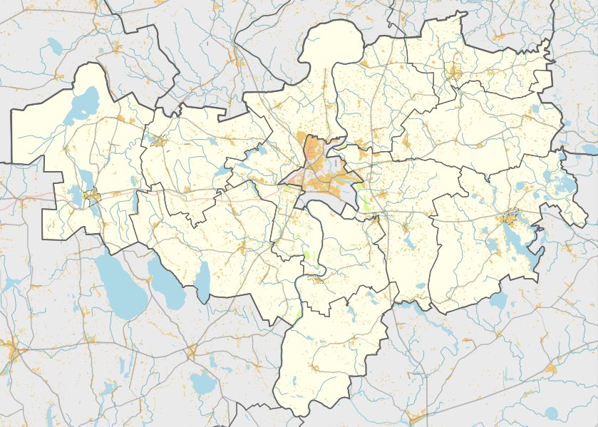

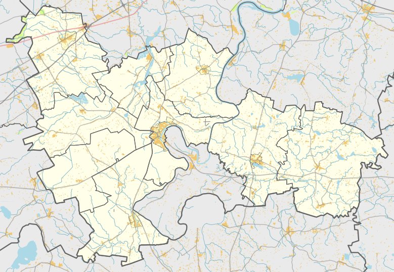
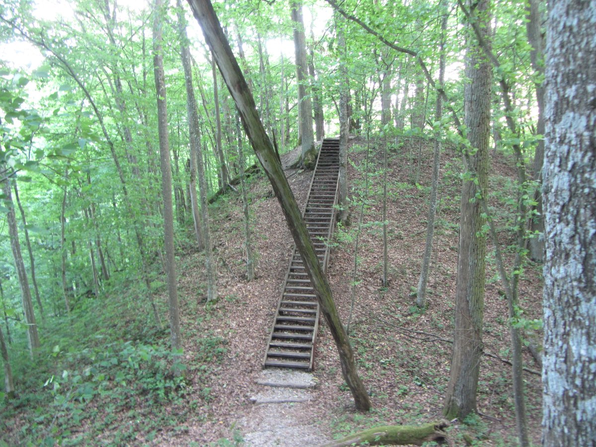
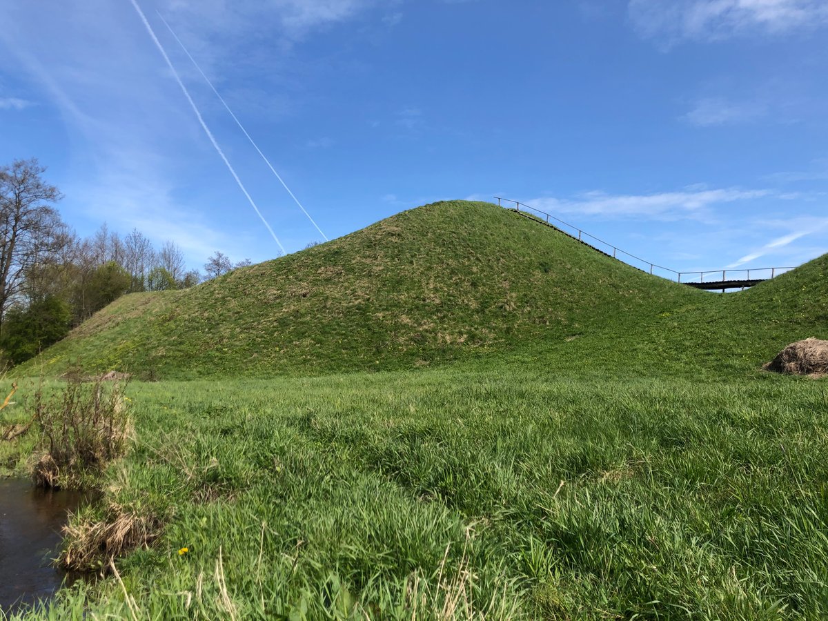
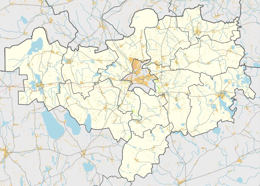
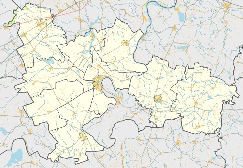
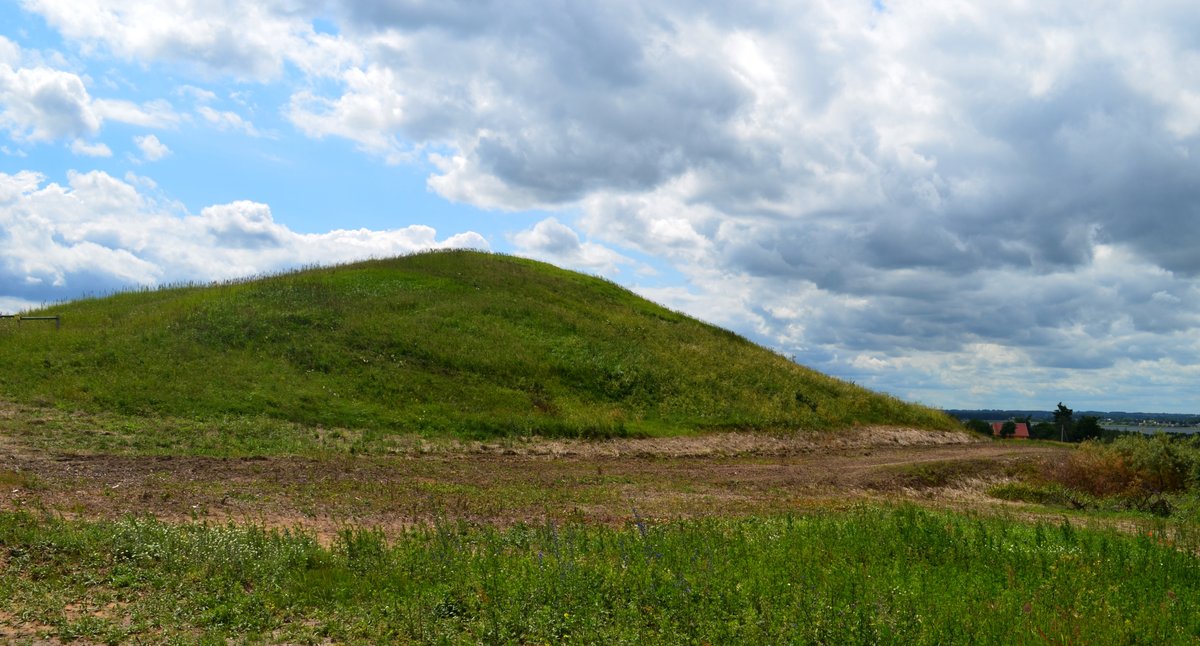
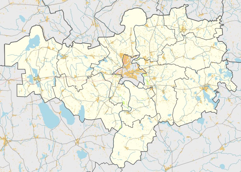
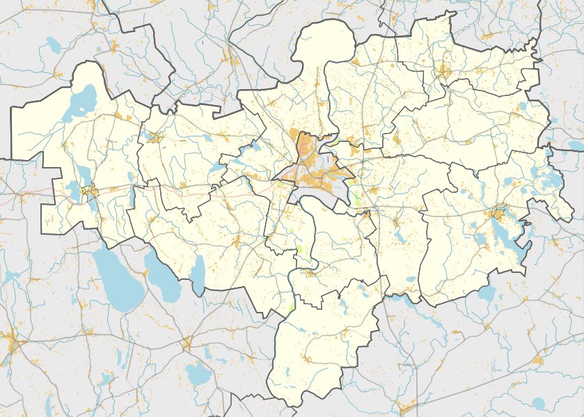
Aniškio piliakalnis is a hillfort sitting along the left bank of a stream near the villages of Aniškiai and Arminai. It is located near Gudeliai Lake, reachable by turning left from the Luksnėnai - Ūdrija road before reaching the lake. The site is located in the southwestern part of the 36th forest quarter, 400 m south, on the other side of the stream, 20 m north from the forest edge.
A large part of the long north-south oriented courtyard was washed away by the stream. However, the remaining part is 3.5 m long and 13 m wide. The slopes toward the stream reach 15 m in height and are covered in deciduous trees. On the southern side of the courtyard is a ramp filled with clay, 20 m long, 6 m high, and 20 m wide, with an outer slope 8 m high descending into a 1.5 m deep, 7 m wide trench at the top, and a 2 m wide bottom, behind which is another ramp 0.4 m high and 4 m wide.
Near the stream at the foot of the slope, broken three-pointed birds were found. To the southwest and northwest of the hillfort is a 1.5-hectare settlement. In its cultural layer, researchers found smooth, coarse, and rough pottery with engraved parallel grooves, along with a cylindrical spindle.
The hillfort dates back to the middle of the first millennium - the beginning of the second millennium.
Sources: Wikipedia, OpenStreetMap, Wikidata, Wikimedia Commons
Written by Nicolo Ciampini
Discuss this with the author and others
No comments yet. Be the first to start the conversation.