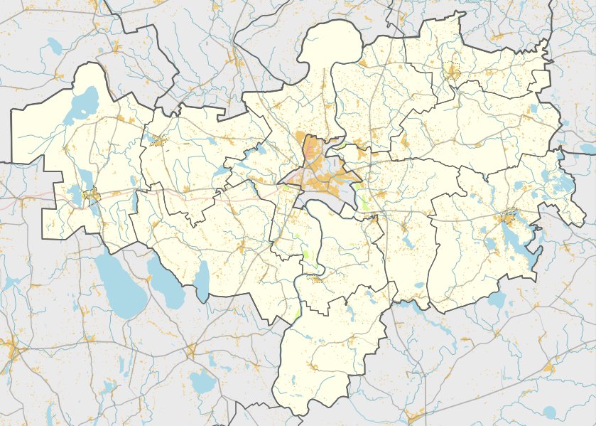

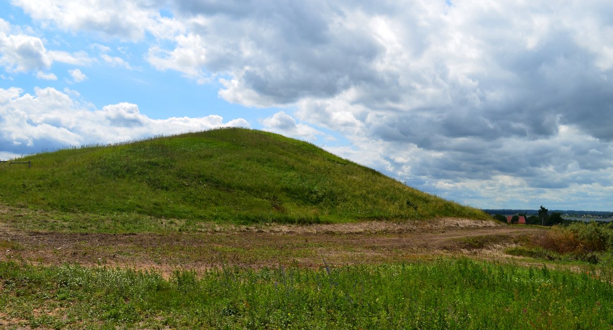
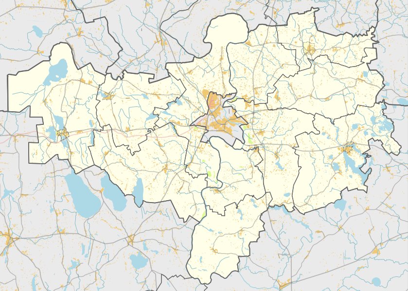
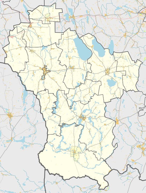
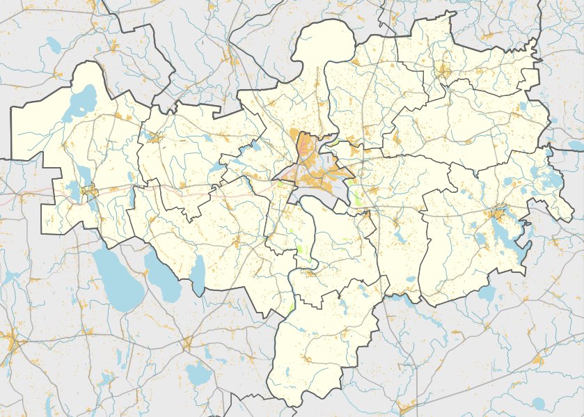
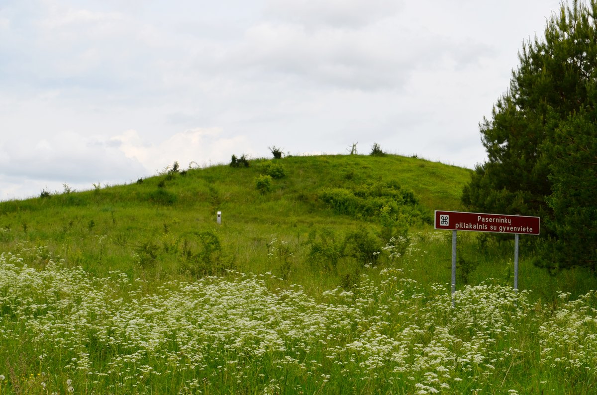
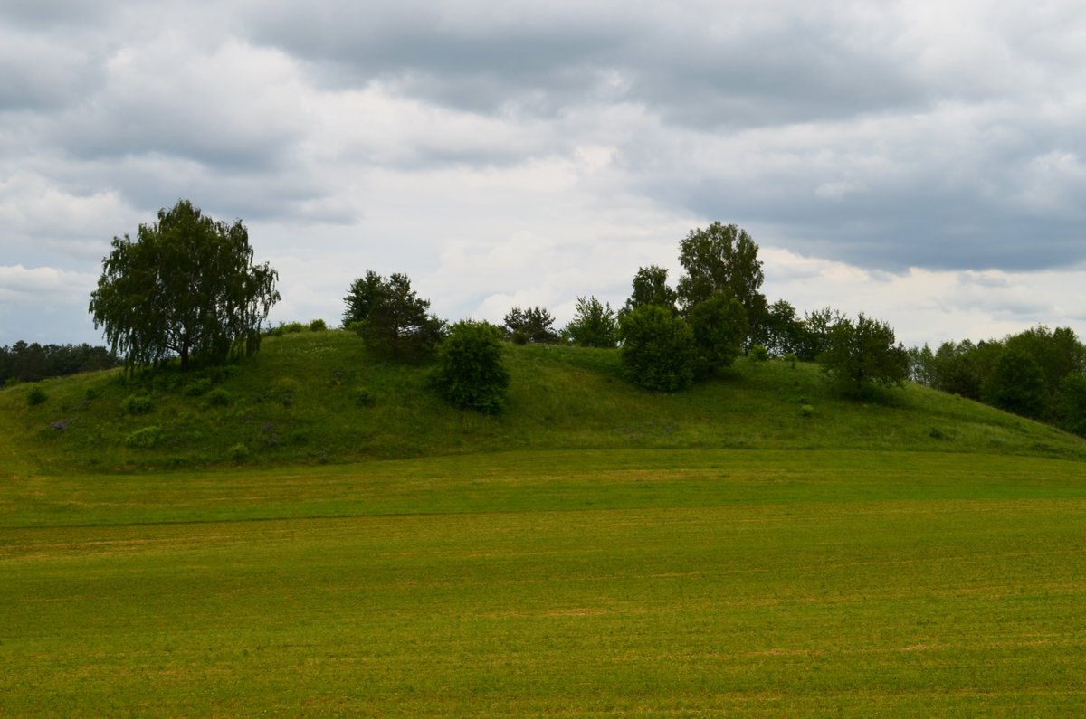
Zaramciškių piliakalnis, also known as Zamkakalnis or Galiertiškė, is a hill fort located in the village of Zaramciškiai, within the Miroslavo eldership. The site is accessible from the Alytus–Seirijai–Lazdijai road by turning right at Seiliūnai and traveling 3 km toward Zaramciškiai. From the farmstead there, it is about 500 m to the right toward the northeast, situated 100 m north of a pond.
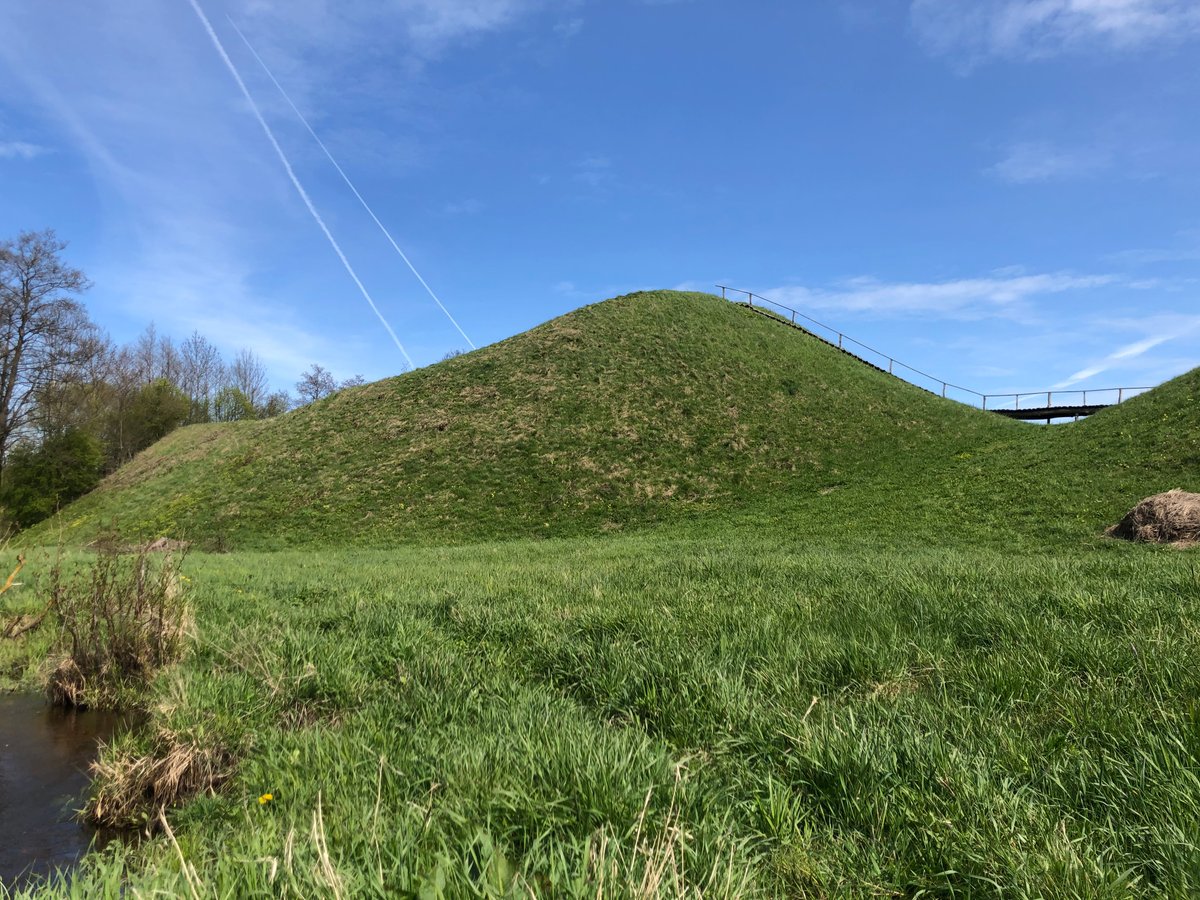
The site is situated on a separate hill with an oval, elongated courtyard measuring 40x15 m in the north-south direction. On the northern side of the courtyard, there is a natural terrace measuring 24x17 m and 2 m below the courtyard level. The slopes are of medium height, reaching 8 m, and the site was originally surrounded by moats, which are now dry. The base of the western slope is covered with spruce.
In 1954, the Institute of History surveyed the hill fort. The site is dated to the first half of the first millennium.
Sources: Wikipedia, OpenStreetMap, Wikidata, Wikimedia Commons
Written by Nicolo Ciampini
Discuss this with the author and others
No comments yet. Be the first to start the conversation.