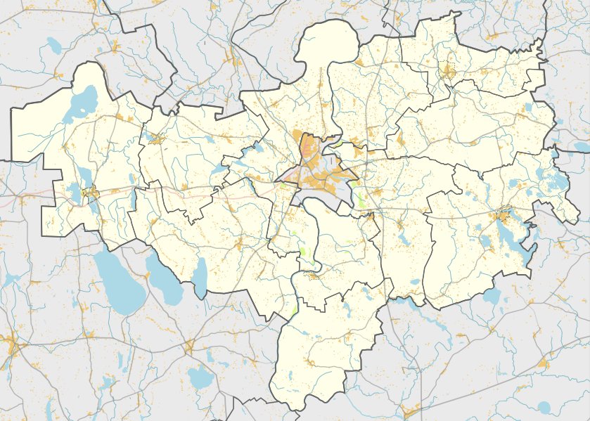

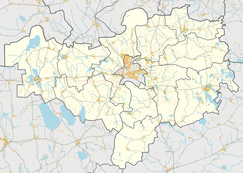
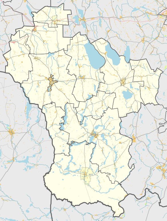
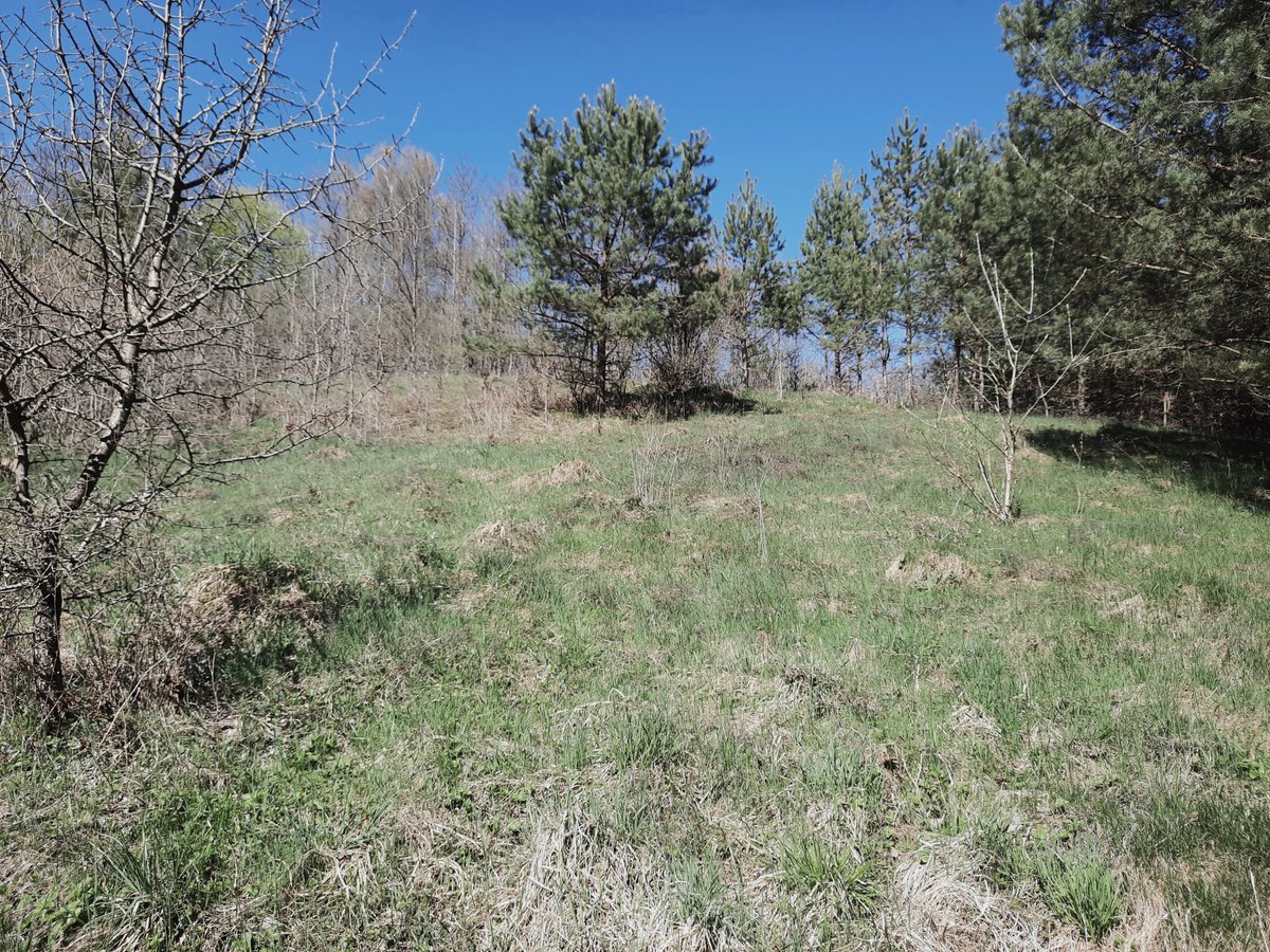
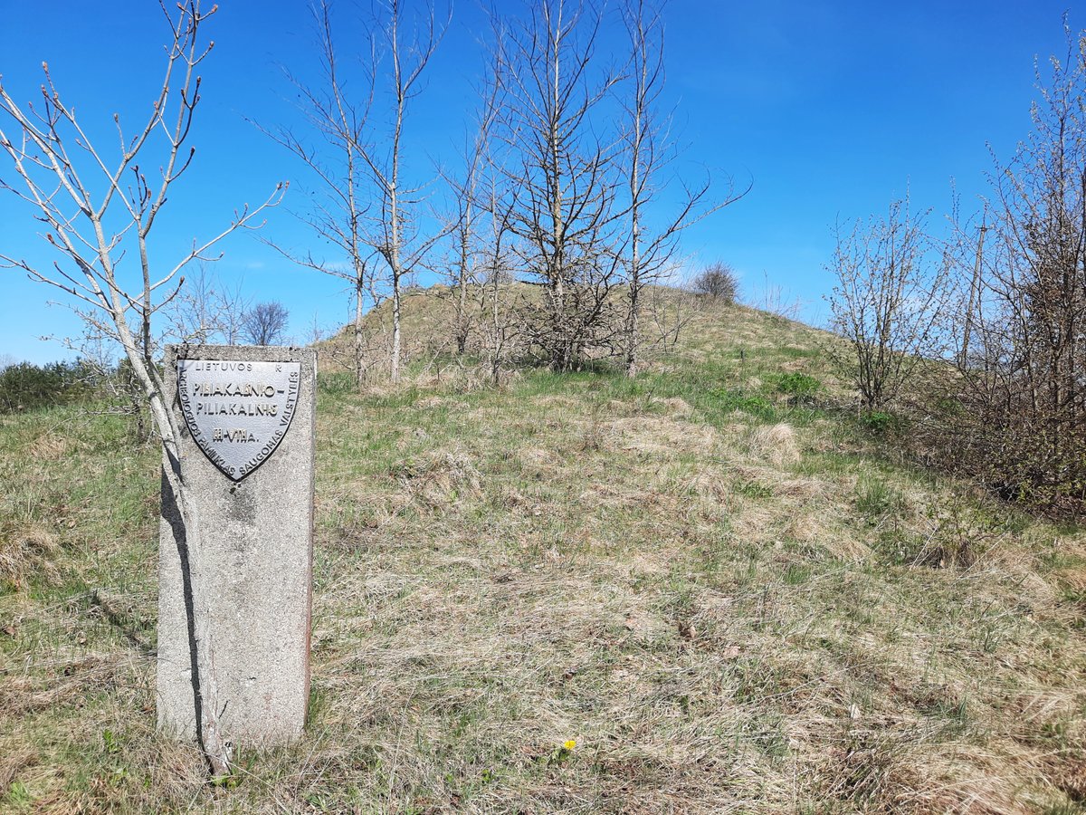
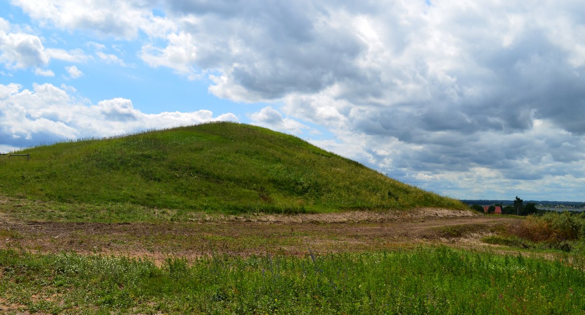
Located on the left bank of the Žilvos stream, not far from the villages of Pupasodis and Tolkūnai, stands the hill fort of Žilvės piliakalnis. To explore this site, take the road from Miroslavas to Balkasodis through Tolkūnai, turn right toward the Žilvios stream, and follow a field path for 350 m - the fort is located in the right-north direction, 150 m away. The fort features a circular clearing 20 meters in diameter with a cultural layer. Its edges are reinforced with a 10-meter wide embankment, which reaches 3 meters high at the western end and 1.5 meters high at the eastern end. The slopes are 7 to 12 meters high.
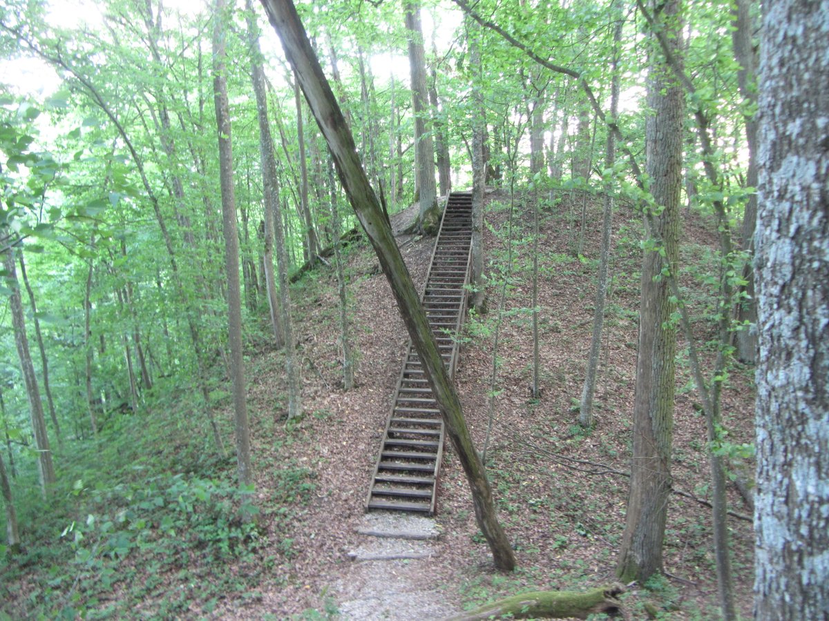
The site is covered with boulders from a road that was in the north-eastern slope and is overgrown with trees and bushes. Maintenance includes a cut part of the trees and a staircase in the south-eastern slope, while two cement blocks stand on the southern cliff. Archaeological research conducted in 1954 and 1962 revealed a settlement on a 1-hectare plot on the north-eastern to eastern slopes, where fragments of flat, coarse, and coarse ceramics were found.
Local legends add a mystical layer to the site. One story tells of a princess named Žilvelė who rose from the hill and was taken by Perkūnas. Another legend speaks of 70 soldiers from the former fortress who were cursed because of fear; it says they leave the hill on St. John's Night turned into goats. The site was officially declared a cultural monument on 1998-05-19.
Sources: Wikipedia, OpenStreetMap, Wikidata, Wikimedia Commons
Written by Nicolo Ciampini
Discuss this with the author and others
No comments yet. Be the first to start the conversation.