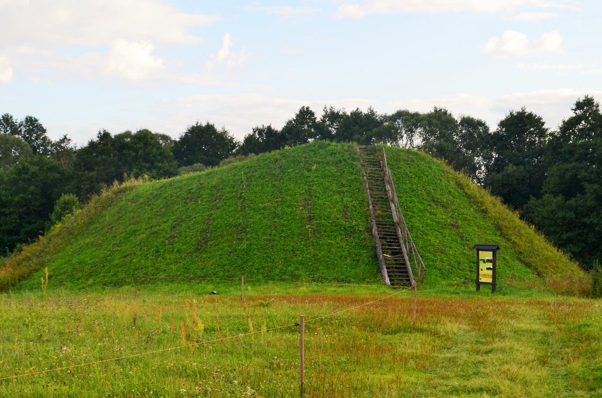

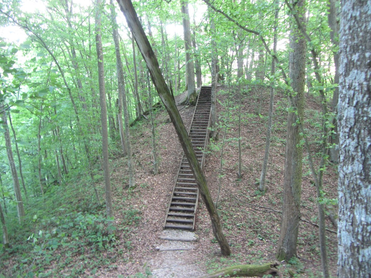
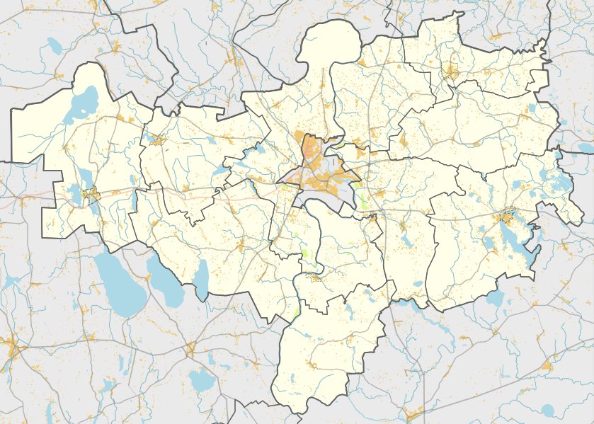
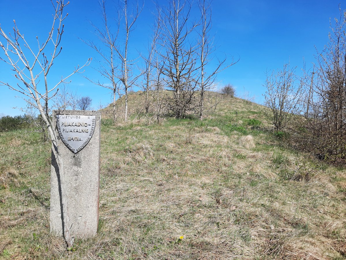
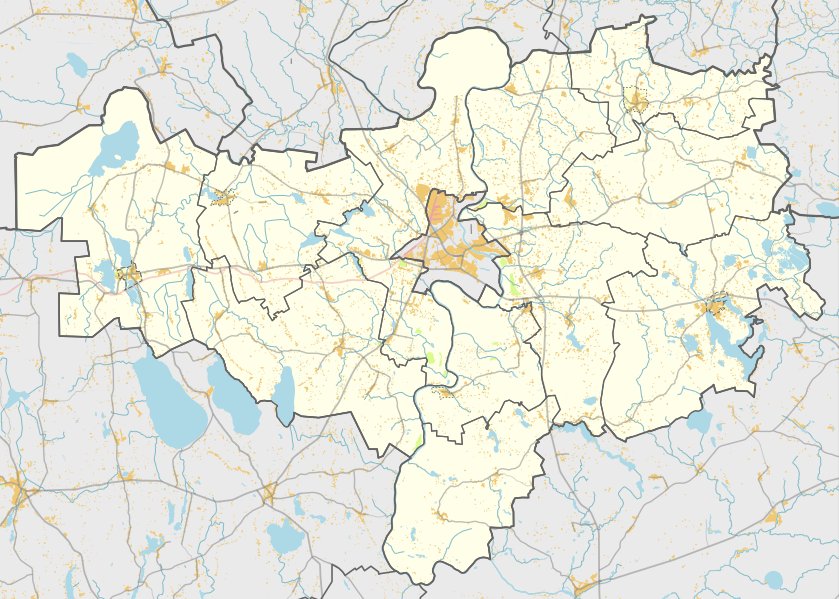
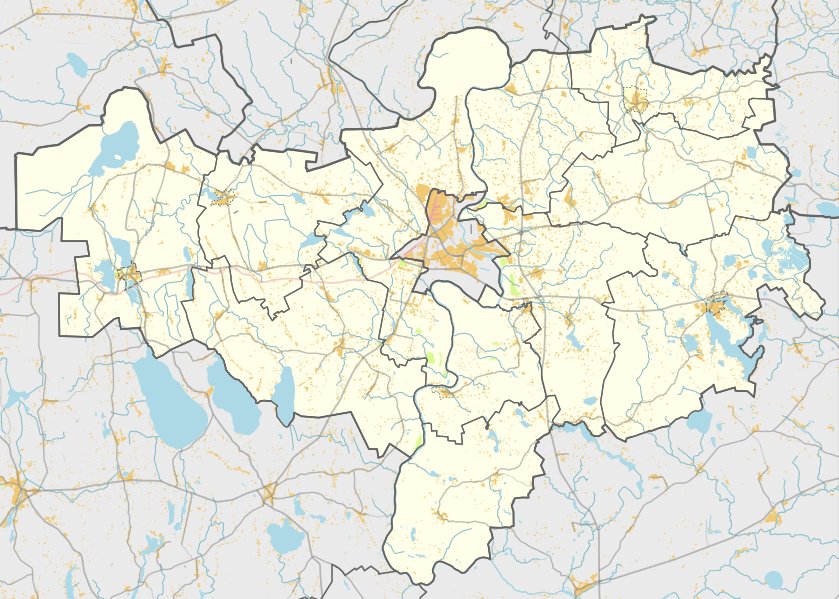
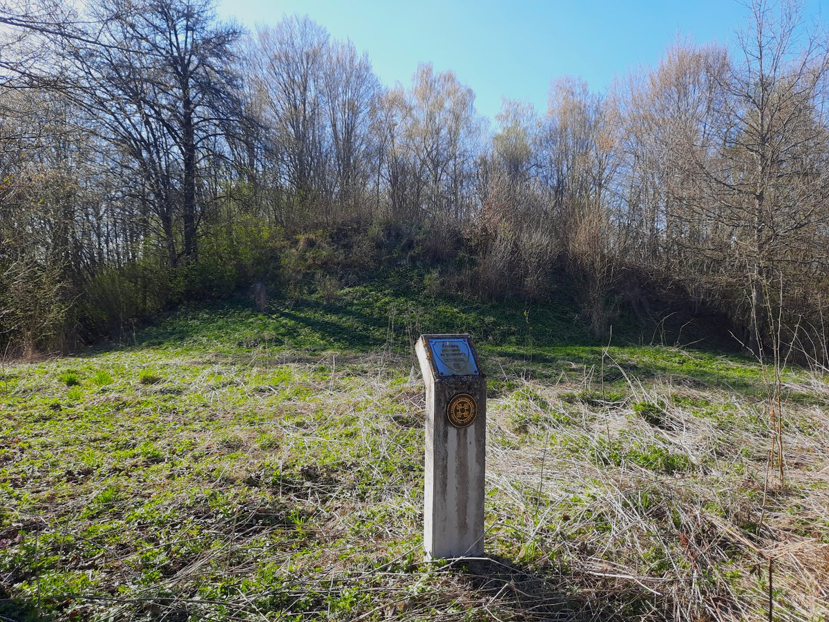
Milžinų kalnas, also known as Poteronių piliakalnis, is a hillfort and settlement in the Alytaus district. It is situated on the right bank of the Alovė river, reached from the road via Poteronis by turning right towards Alovė. The site is recognized as a cultural monument and features a 3-hectare settlement area along its northern, northwest, eastern, and southeast slopes.
The fortification consists of a triangular courtyard measuring 10 by 10 meters. Along the northern and eastern edges of the courtyard, there is a 21-meter long embankment that stands 5 meters high and 14 meters wide. The outer eastern slope of this embankment rises 7 meters high before descending into a 0.5-meter deep ditch. The surrounding slopes are steep, reaching heights of 10 to 14 meters.
Archaeological research conducted in 1953 and 1972 identified the site as dating from the 1st millennium to the beginning of the 2nd millennium. Excavations of the settlement area have revealed incised, coarse, and smooth ceramics, as well as slag and flint. The artifacts from the site are currently preserved by the National Museum of Lithuania.
Sources: Wikipedia, OpenStreetMap, Wikidata, Wikimedia Commons
Written by Nicolo Ciampini
Discuss this with the author and others
No comments yet. Be the first to start the conversation.