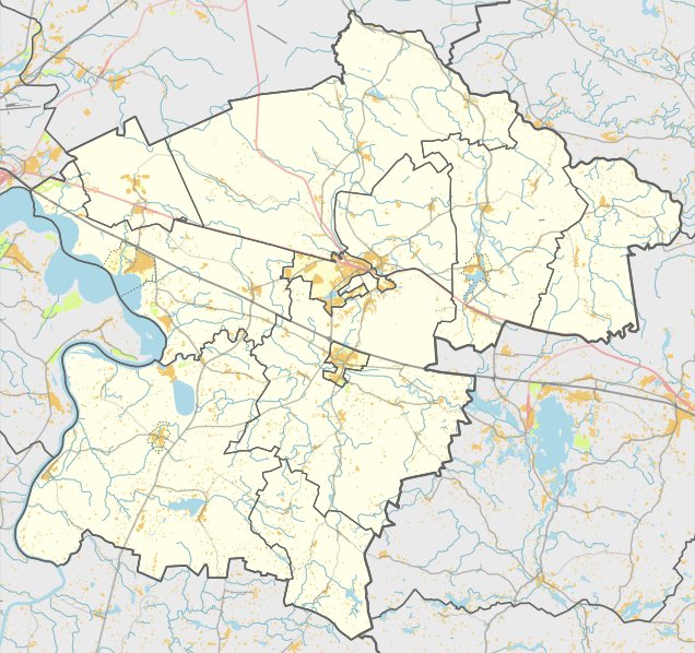

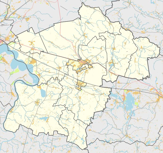
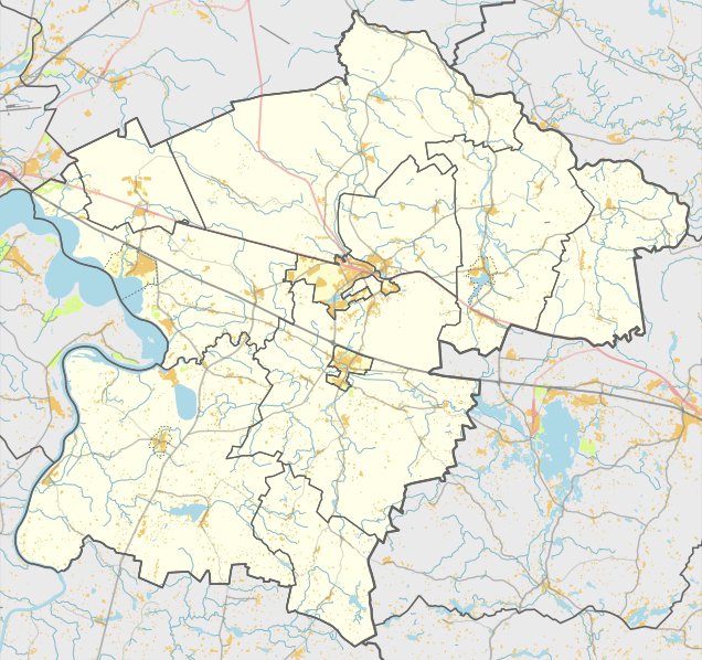
The Buivydonių hill fort is located in the territory of Žiežmariū seniūnija within the Kaišiadorių district. It is reachable via the Žiežmariai - Žostautai road by passing through Kibučiai, turning right toward the former Buivydonių manor farm, and traveling 900 m - 100 m to the right in the west, opposite the river.
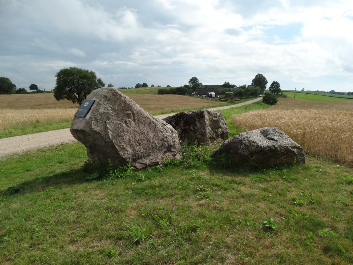
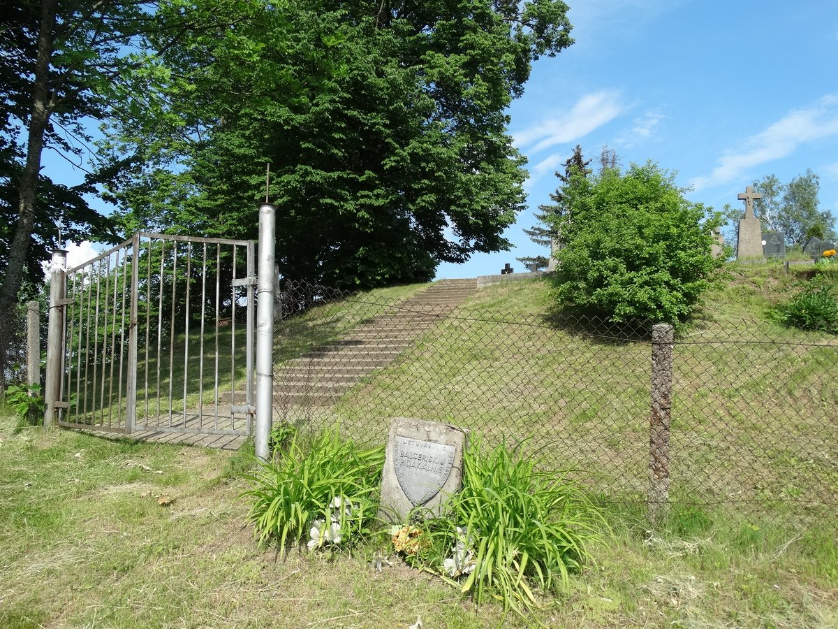
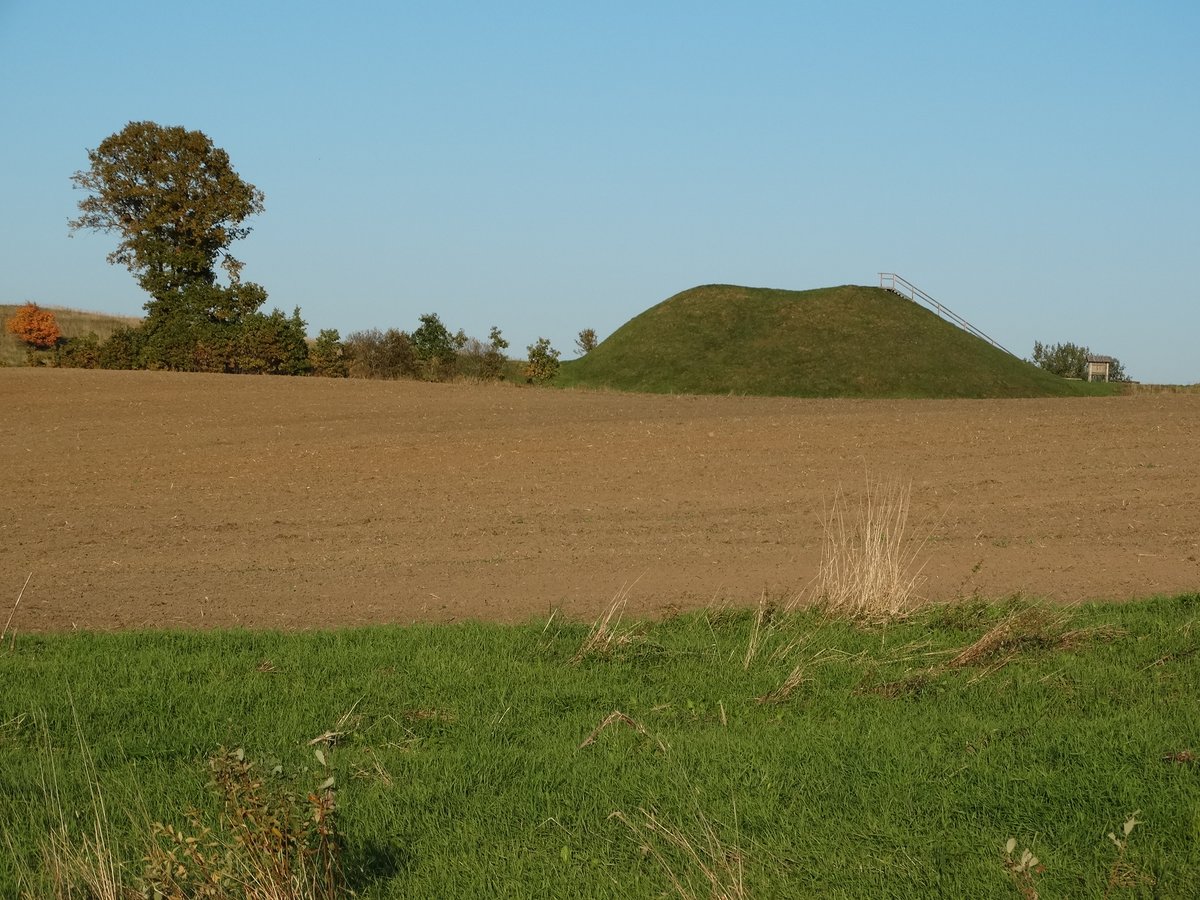
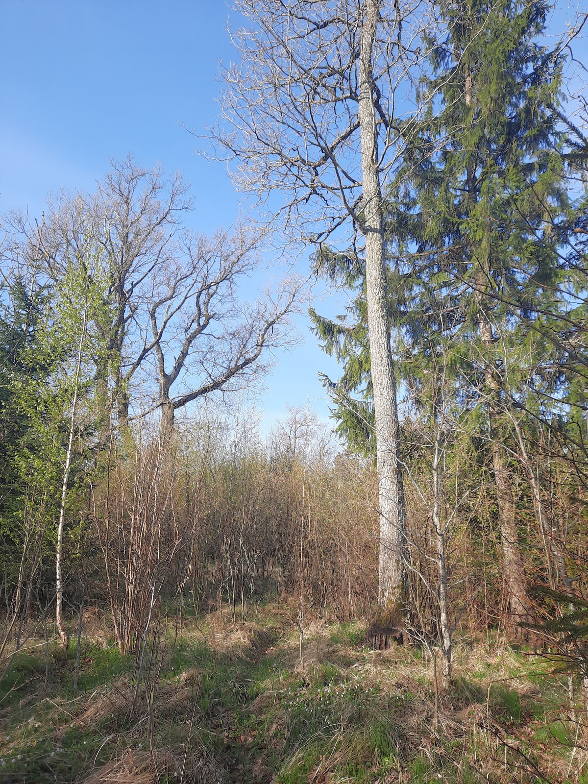
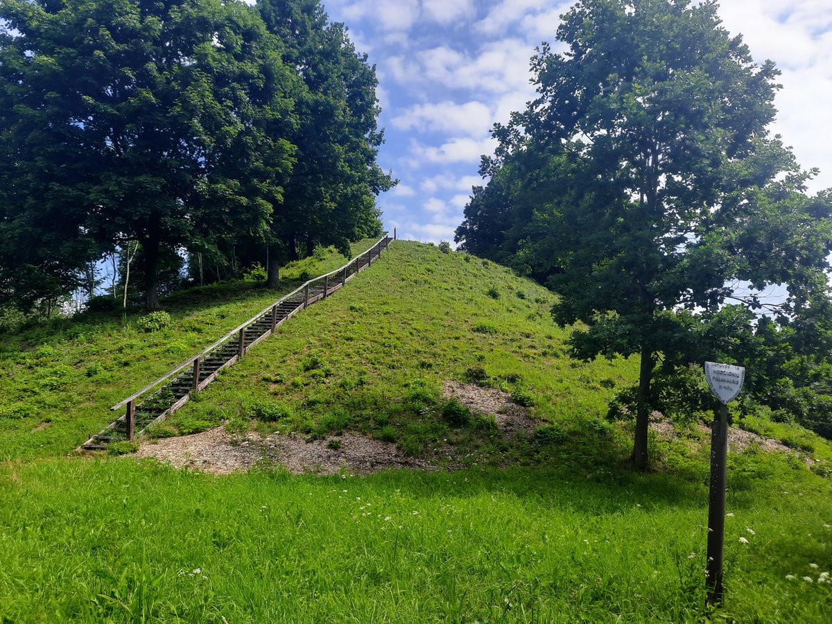
The hill fort is situated on a promontory on the left bank of the river. The oval area is oriented in an east - west direction and measures 5x8 m. It is surrounded by a flowery embankment that is 6-11 m wide, reaching 1 m in height in most places and being located on the western side. In the western foot of the hill fort, there is a ditch 25 m wide and 1 m deep. The slopes are 5-9 m high, and the hill fort is covered with birches.
Dated to the first millennium - the beginning of the second millennium, the site was declared a cultural monument on May 19, 1998. The monument territory covers 2400 m², with dimensions of 60 m long from east to west and 50 m wide. The hill fort was surveyed by the Institute of History in 1971.
Sources: Wikipedia, OpenStreetMap, Wikidata, Wikimedia Commons
Written by Nicolo Ciampini
Discuss this with the author and others
No comments yet. Be the first to start the conversation.