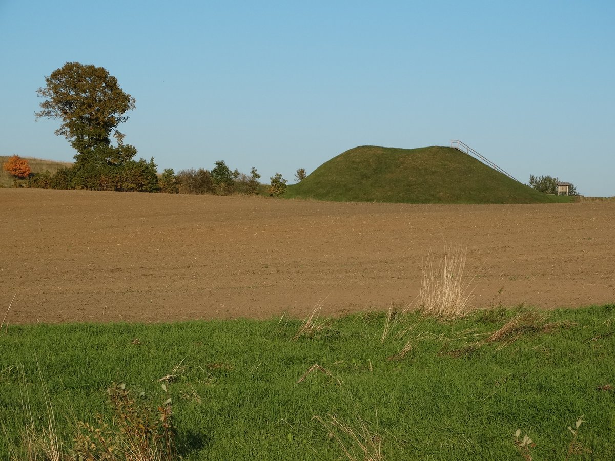

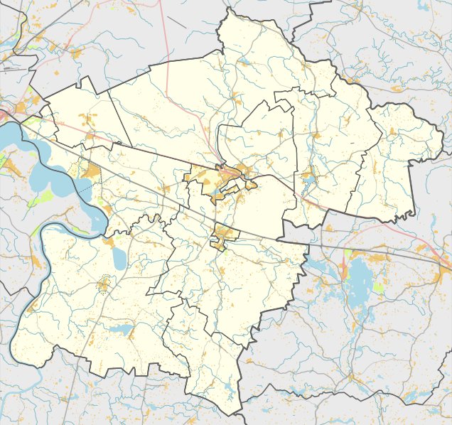
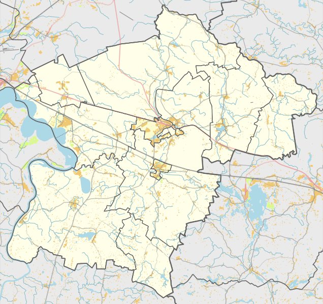
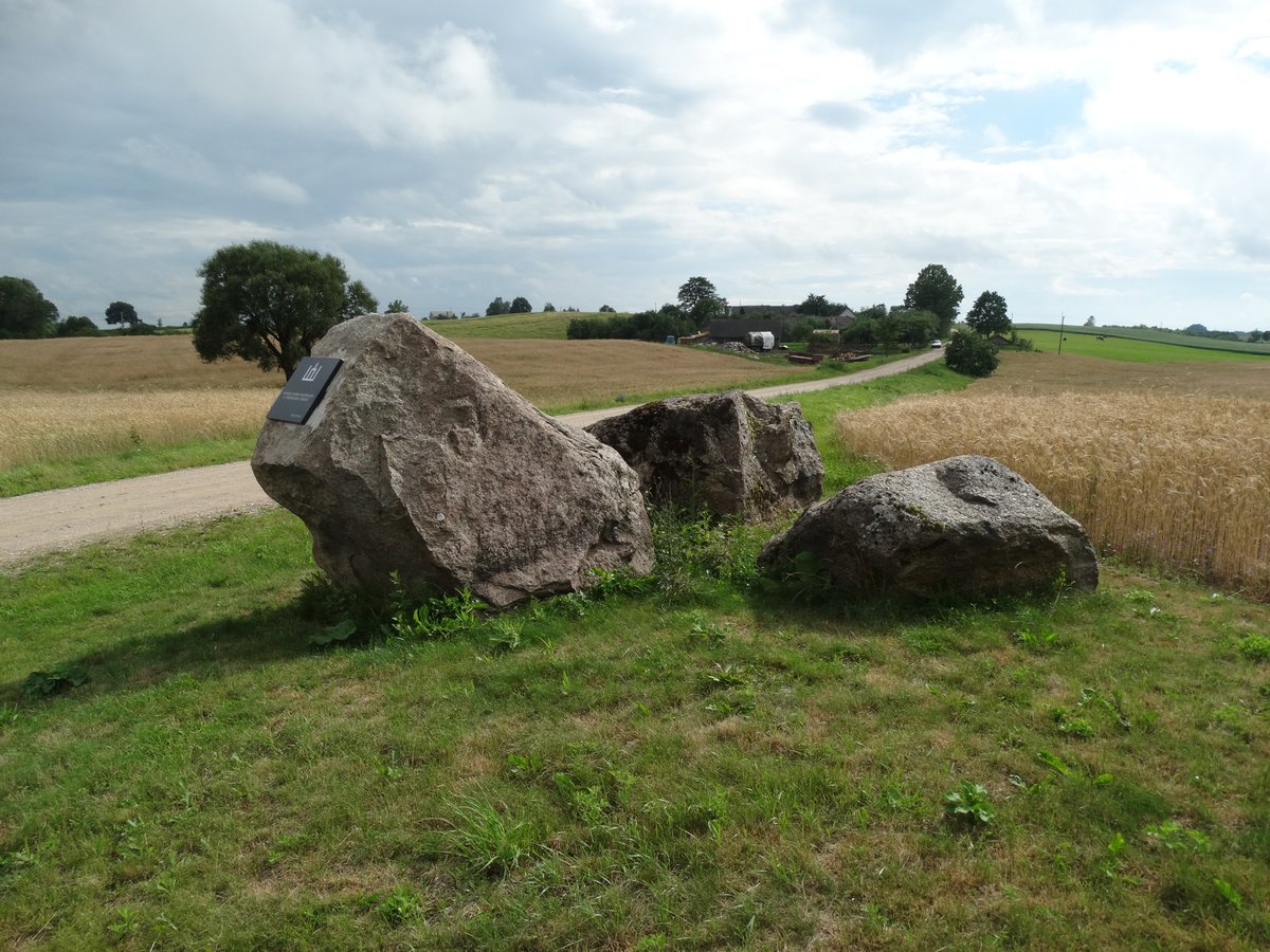
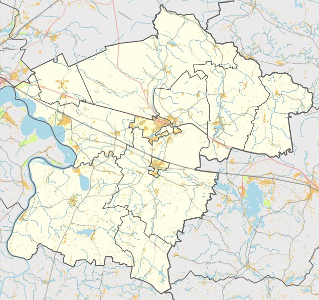
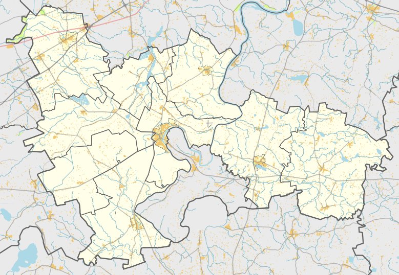
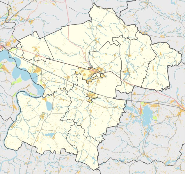
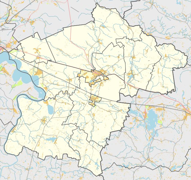
Located on a distinct hill near the village of Rokiškės in the Kruonys eldership, the Rokiškės hillfort and settlement is reachable via the road Kalviai (Kaišiadorys) – Kubiliai (Kaišiadorys). It is situated on the right side in the west, 200 m from the junction to Plaskūnus.
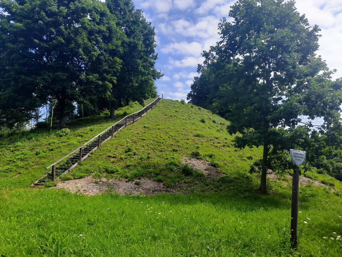
The hillfort features an oval platform oriented east - west. It is enclosed by a ditch from the north, east, and south that is up to 7.5 m wide. The larger western part of the platform shows no signs of steps or ramps. The slopes of the hill stand 7-8 m high. Cultural layers within the site contain findings of rough and smooth ceramics, as well as mortar.
Datable to the 1st millennium - beginning of the 2nd millennium, the site was declared a cultural monument in 1998. The monument's territory covers 20,000 m², with dimensions of 260 m long from the northwest to the southeast and up to 100 m wide.
In 1953 and 1971, the Institute of History surveyed the hillfort. The findings are currently preserved by the Lithuanian National Museum. In a 1.5 ha area on the slopes of the hillfort lies a settlement where rough and smooth ceramics were also discovered.
Sources: Wikipedia, OpenStreetMap, Wikidata, Wikimedia Commons
Written by Nicolo Ciampini
Discuss this with the author and others
No comments yet. Be the first to start the conversation.