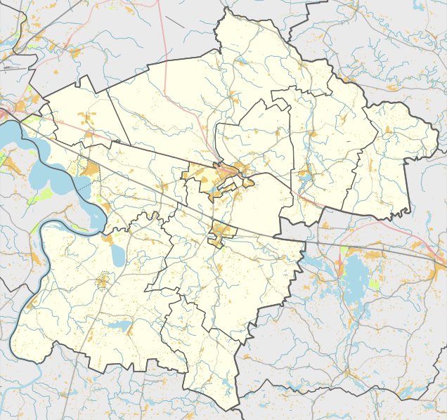

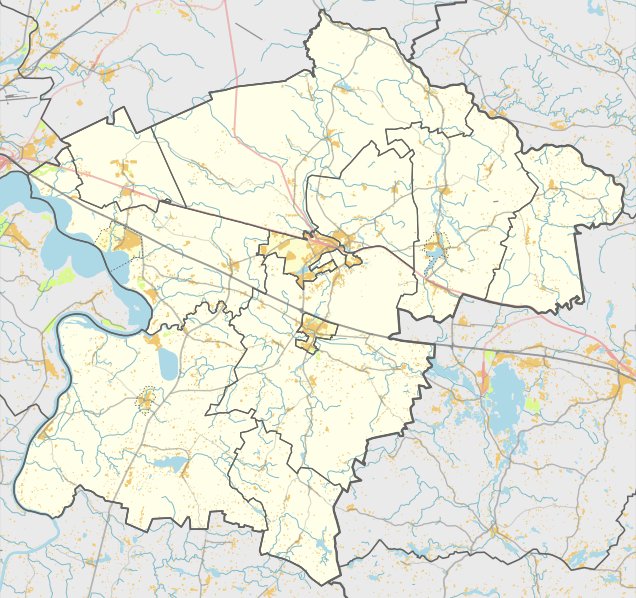
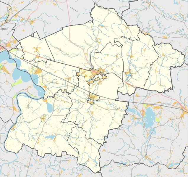
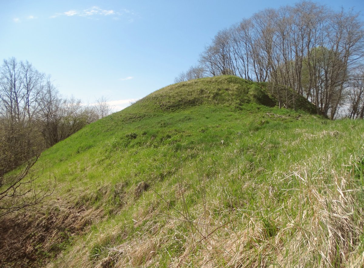
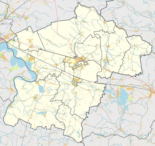
The Mūro Strėvininkų piliakalnis stands on the left bank of the Strėva river. This defensive site dates back to the 1st millennium. It was originally built on a hill and was separated from the river valley by steep banks and ditches to the north, east, and south.
In the 1960s, a hydroelectric power plant was built and a new canal was dug, destroying the southwestern part of the hillfort and its original defensive structures. Today, the remaining site is a trapezoid-shaped clearing 23 metres long. It measures 20 metres wide on the eastern side and 8.5 metres wide at the western end, where a 0.5-metre high, 12-metre wide ridge remains at the southwestern end.
Additional features include a 3-metre wide terrace on the northwestern slope, situated 4 metres below the clearing. The hillfort features slopes reaching 16 metres in height, which are covered with shrubs. To the west of the hillfort lies a 1.2-hectare settlement of the Papėdė people. While the western part of the clearing is washed by the river, a wooden gazebo and a poorly maintained rest area stand on the northeastern edge.
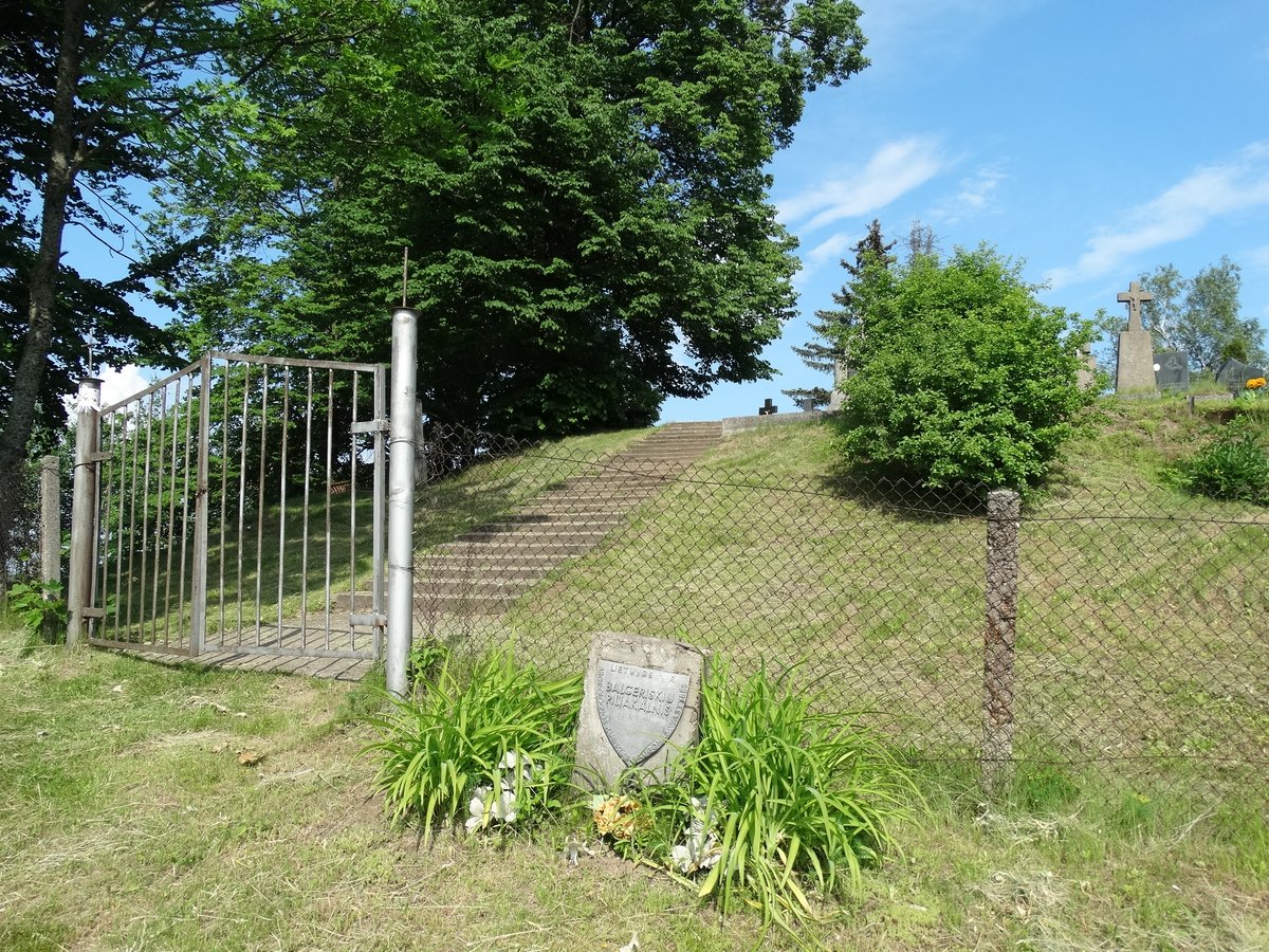
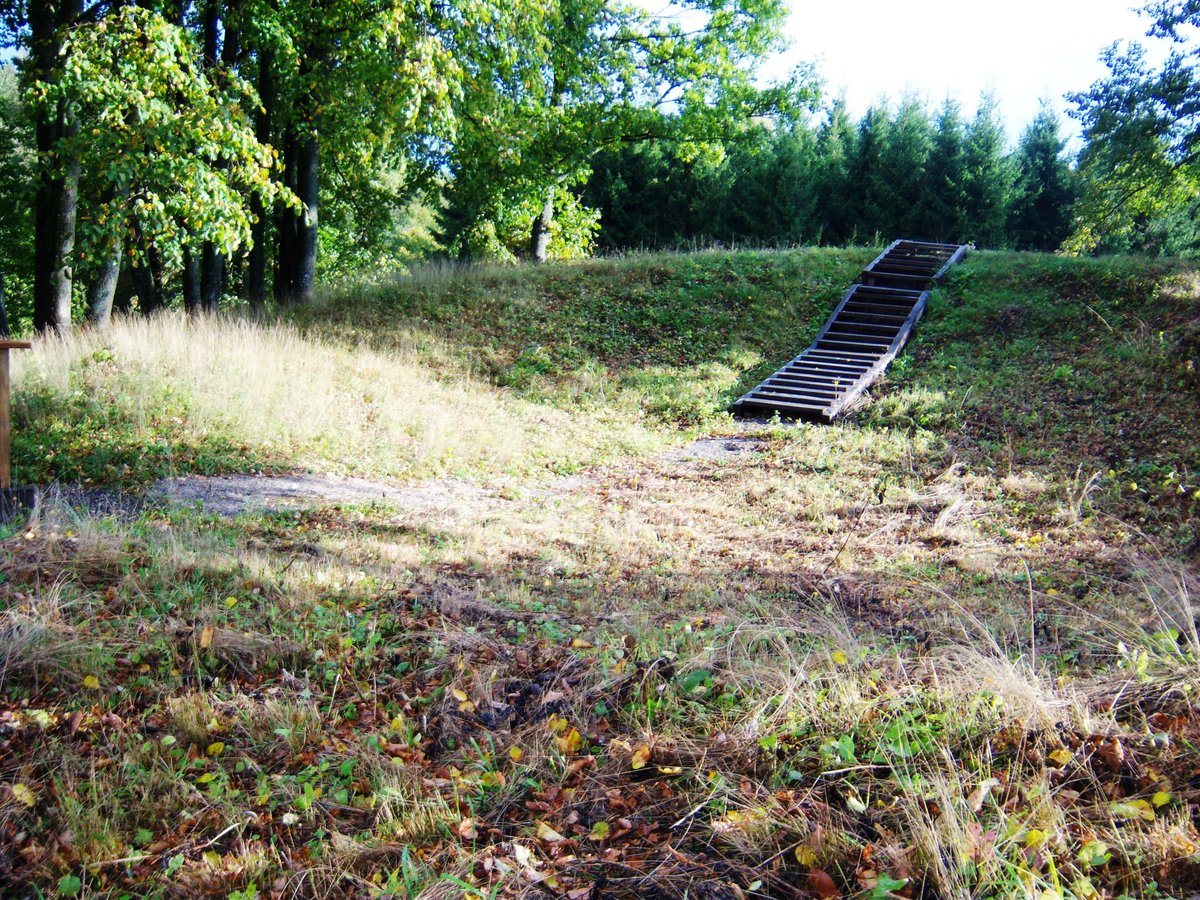
Concrete stairs lead toward the canal from the southwestern slope. The site, which covers a total area of 20,000 square metres, was officially recognized as a state-protected monument on April 29, 2005. Archaeological investigations were conducted at the site in 1971.
Sources: Wikipedia, OpenStreetMap, Wikidata, Wikimedia Commons
Written by Nicolo Ciampini
Discuss this with the author and others
No comments yet. Be the first to start the conversation.