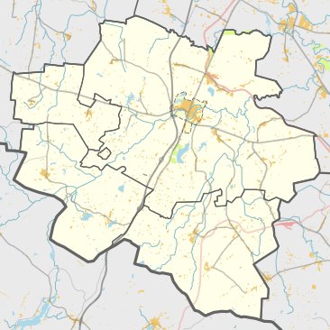

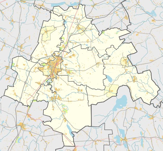
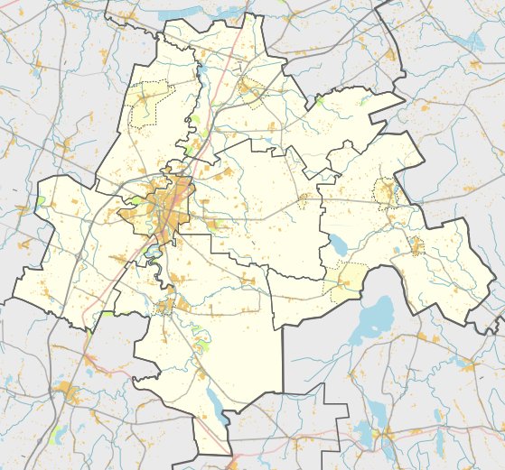
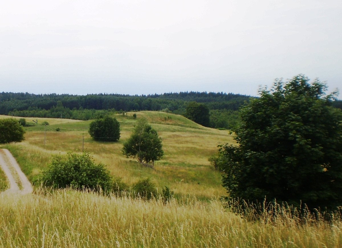
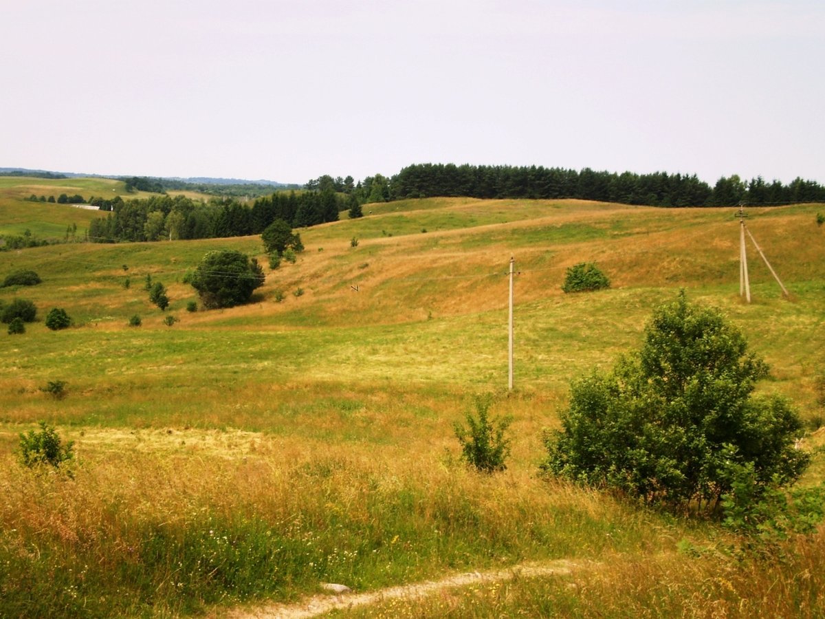
Papiliakalnis is a hillfort located in the Liubava eldership, north of Papiliakalnis. The site is reached by turning right from the Kalvarija - Liubavas road, past Juodels, and driving for 600 metres into the forest. The fort is situated on a separate hill with an altitude of 178 metres.
The hillfort features an oval clearing measuring 50 by 24 metres. It was originally surrounded by two circular embankments. While the first was destroyed by plowing, the second remains in parts. On the western side, a 4.5 metre wide trench 0.2 metres deep is visible, behind which sits a 12 metre wide embankment that is 0.5 metres high. The slopes of the fort stand 22 metres tall.
Archaeological records show the hillfort dates from the first millennium to the beginning of the second millennium. In 1965, the Institute of History surveyed the site but did not observe a cultural layer. The site was declared a cultural monument by a Government of the Republic of Lithuania resolution on May 19, 1998. The protected area covers 38,800 square metres.
The site serves as a memorial. A monument stands on the eastern side of the clearing, erected in 1994 to commemorate 432 soldiers from the 432nd regiment of the 131st division who fell in 1944. The area is currently surrounded by pine trees.
Sources: Wikipedia, OpenStreetMap, Wikidata, Wikimedia Commons
Written by Nicolo Ciampini
Discuss this with the author and others
No comments yet. Be the first to start the conversation.