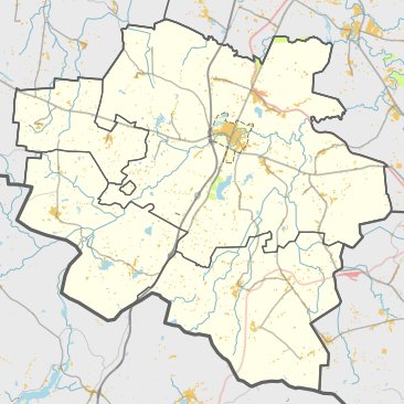

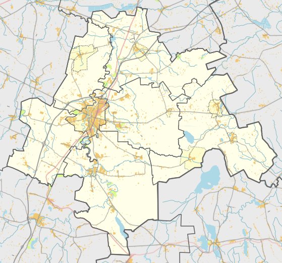
Naujienėlės piliakalnis - also known as Aukštakalnis or Kovakalnis - is a hillfort located in the village of Naujienėlės within the Kalvarija eldership. To reach the site, travelers turn right from the Kalvarija - Bartininkai road at Patilčiai Margiuose, heading east toward Naujienėlės. It sits 150 meters from the Vizupio canal to the north.
The hillfort was constructed on a ridge within a height. Its slopes reached heights of 12-20 meters, with structures built on the upper 4-5 meters. The site features an oval, elongated clearing measuring 28x25 meters, which rises 2 meters in the center. On its northern side, there is a 18-meter long, 0.8-meter high, and 9.5-meter wide embankment. A slope with a height of 1.5 meters descends into a 16-meter wide, 1-meter deep ditch.
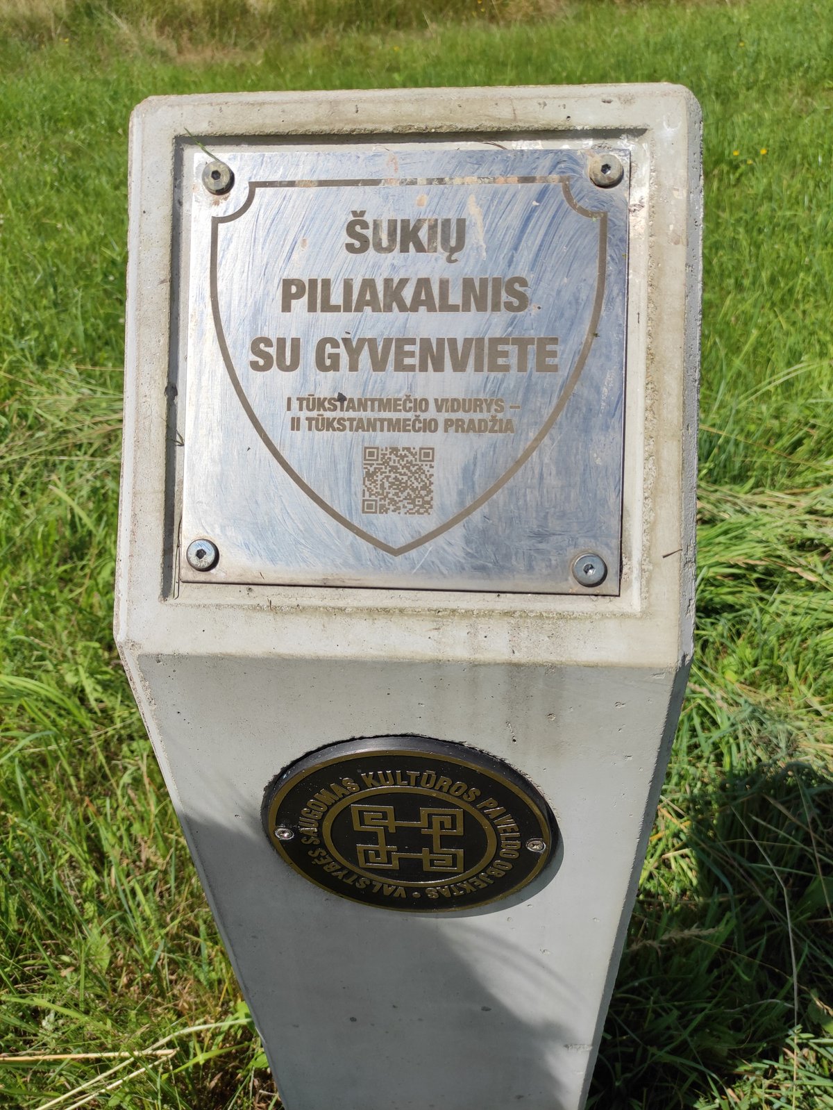
To the north of the hillfort lies a trapezoidal mound, elongated from north to south, with a clearing measuring 40x34 meters. The site is heavily modified by trenches from World War II and a triangulation tower built by Germans. The clearing is overgrown, and the slopes are surrounded by spruces. The hillfort dates from the first millennium to the beginning of the second millennium. It was declared a cultural monument on May 19, 1998, and covers an area of 15,000 square meters.
Sources: Wikipedia, OpenStreetMap, Wikidata, Wikimedia Commons


Written by Nicolo Ciampini
Discuss this with the author and others
No comments yet. Be the first to start the conversation.