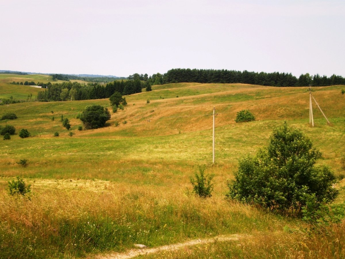

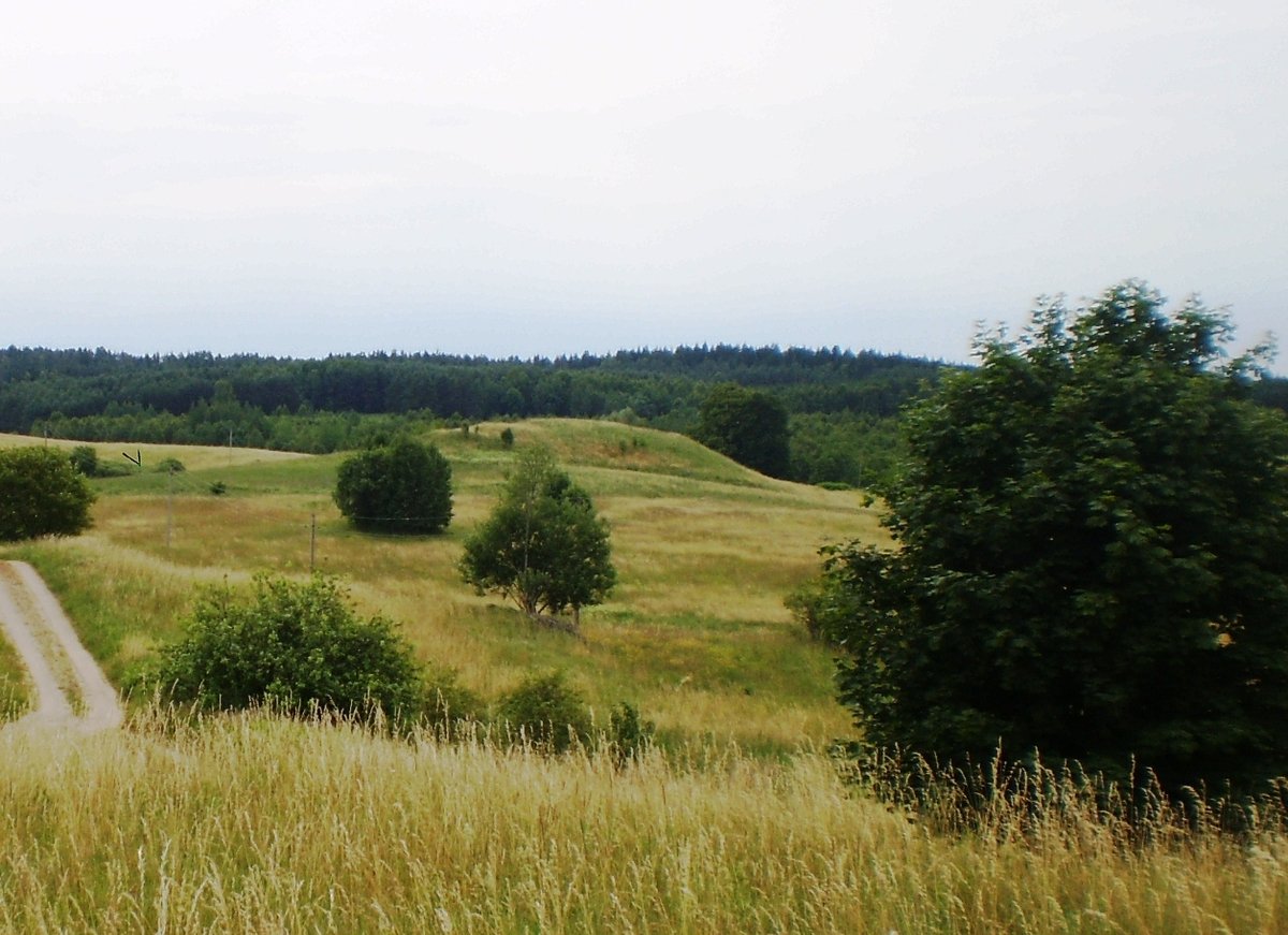
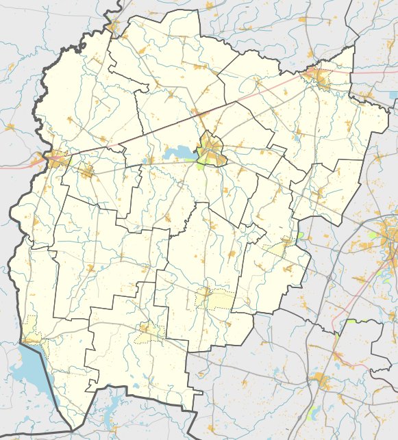
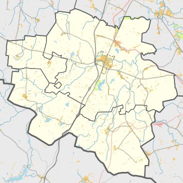
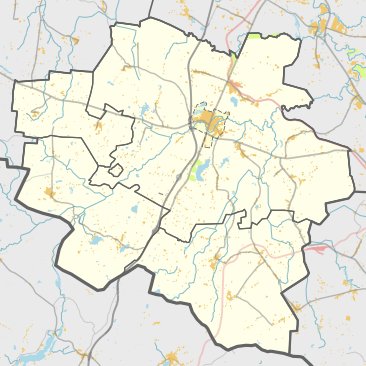
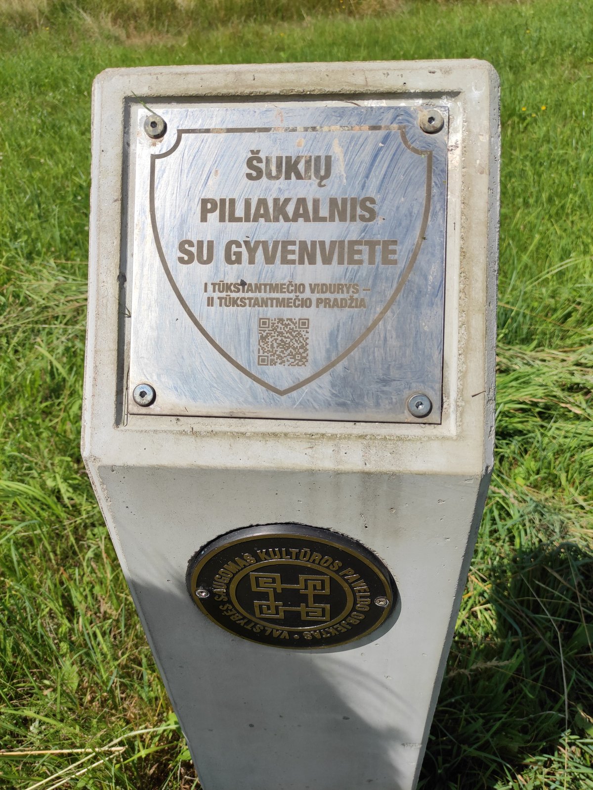
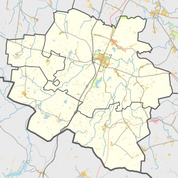
The Pavištytis I hillfort is located in the Vilkaviškis district, south of Pavištytis. It is a fortification site dating back to the first millennium. The site was officially recognized as a state-protected monument on April 29, 2005, and covers an area of 49,000 square meters.
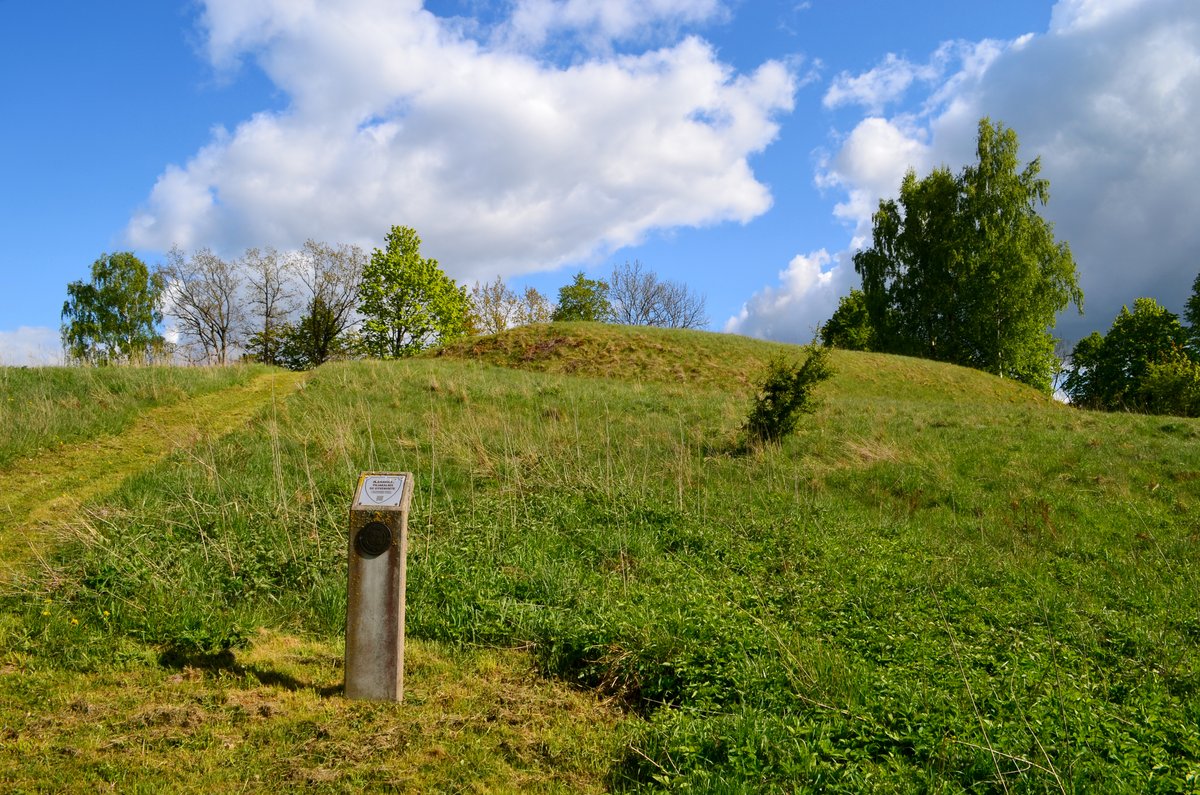
The fortification is situated on a hill. It features a triangular clearing measuring 30 meters long and 34 meters wide in its northeastern part, oriented in a northeast to southwest direction. The clearing is 2 meters higher in its southern and southwestern parts. At the edge of the northeastern part of the clearing is a 0.5-meter high embankment, 10 meters wide, behind which is an 11-meter wide, 0.3-meter deep ditch. The northeast slope of the hillfort reaches a height of 1.5 meters, while other slopes reach up to 30 meters.
The site is heavily eroded by ravines and pits and was later planted with pines, most of which have now been cleared. A trench runs almost through the middle of the clearing from the northeast to the southwest. Coarse ceramics have been found within the clearing. In the northeastern foot of the hillfort, on an area of 0.2 hectares, there is a settlement where burned stones and clay plaster were found.
Sources: Wikipedia, OpenStreetMap, Wikidata, Wikimedia Commons


Written by Nicolo Ciampini
Discuss this with the author and others
No comments yet. Be the first to start the conversation.