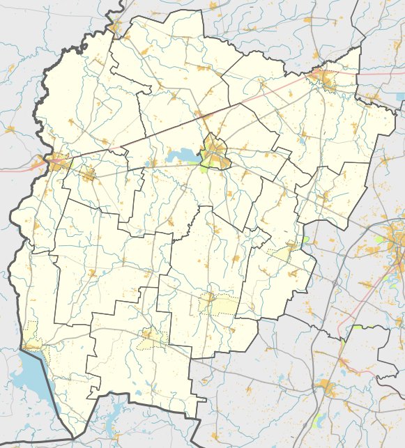

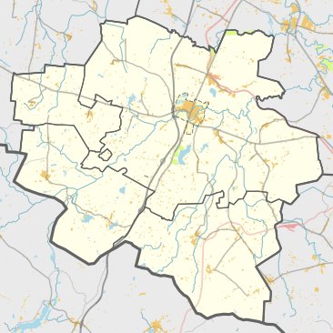
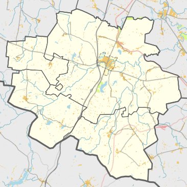
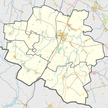
The Vištyčio Lauko II hill fort and settlement are located in the Vilkaviškio district, east of Vištyčio Lauko II. The site can be reached from the Vištytis - Žinėnai road, 900 m past the turn to the east, and 200 m to the southwest of the field road.
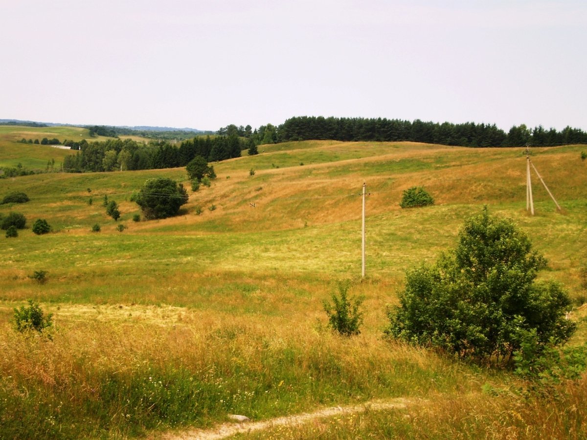
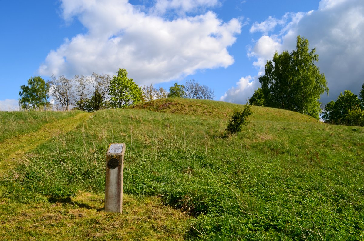
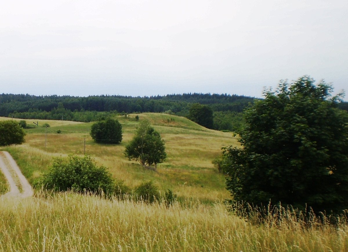
The hill fort is built on a separate hill with an oval, elongated courtyard measuring 28x11 m, being higher on the eastern side. It is surrounded by ditches and trenches, with a 5 m wide terrace on the northwest slope. The settlement at the foot of the mound covers an area of 0.7 hectares and contains remains of coarse ceramics.
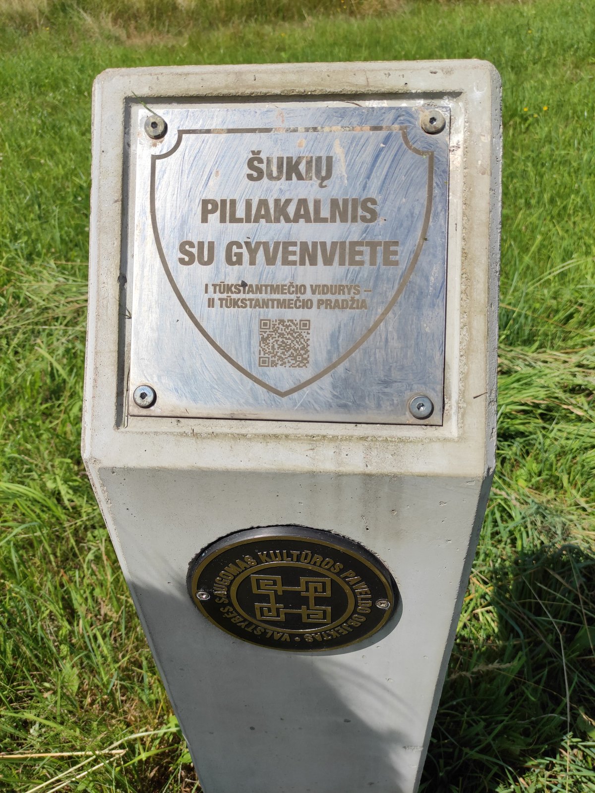
Initially surveyed in 1962, the site is dated back to the first millennium. The remains are currently protected by the Lithuanian National Museum. The monument was declared a cultural monument in 1998, covering a total area of 24,000 m² with dimensions of up to 150 m long and 120 m wide. A. Kaminski included information regarding the site in his 1956 work providing material for a bibliography of archaeological monuments.
Sources: Wikipedia, OpenStreetMap, Wikidata, Wikimedia Commons


Written by Nicolo Ciampini
Discuss this with the author and others
No comments yet. Be the first to start the conversation.