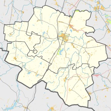

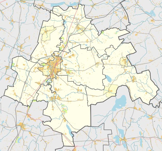
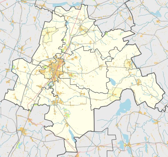
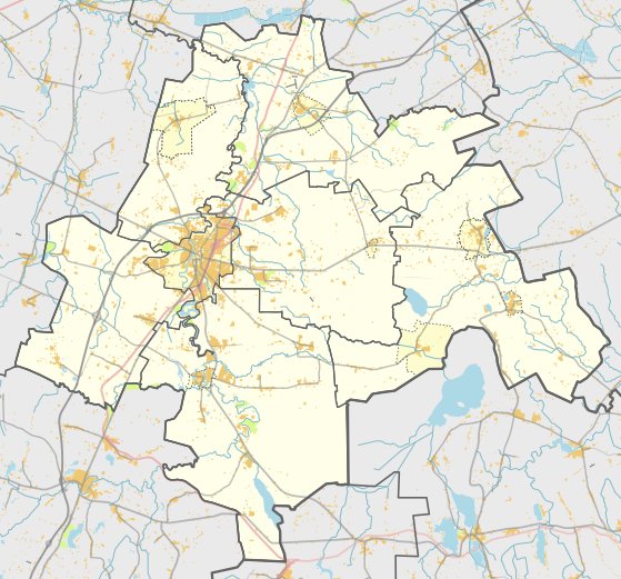
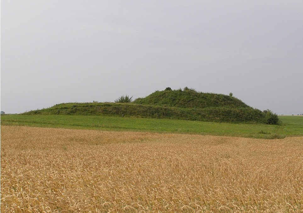
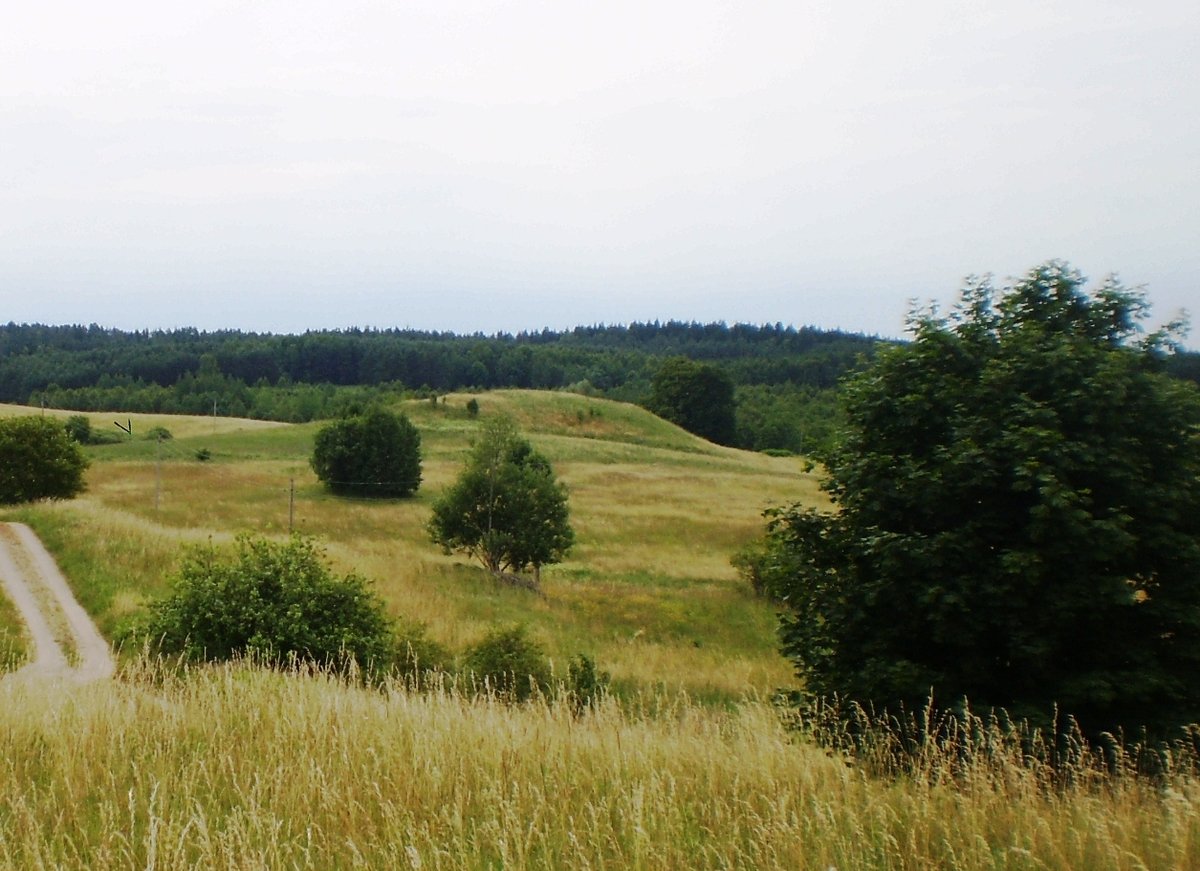
Menkupių piliakalnis su gyvenviete is a unique hillfort and settlement located in the Kalvarija district. The site is situated in the southern part of Menkupių, reaching it via a road from Kalvarija and Gražiškiai. The fort is situated on a ridge formed by the Bevardžis stream and encompasses an oval area measuring 40 by 49 meters, with a center rising about 1.5 meters high.
The hillfort features a rampart that is best preserved in the north-east and north-west parts. In the north-west, the rampart stands 2 meters high and 11 meters wide, while the east side measures 0.5 meters high and 6 meters wide. A terrace measuring 13 by 15 meters is located 3 meters below the rampart on the eastern slope, with another 10-meter-wide terrace situated to the north of the rampart. The slopes of the hillfort reach heights of 11-12 meters.
Archaeological evidence at the site includes a settlement on the northern and north-western slopes covering an area of 0.5 hectares, where coarse ceramics have been found. The site was surveyed in 1954 and 1965 by the Institute of History. The artifacts are preserved by the National Museum of Lithuania. The site was declared a cultural monument on May 19, 1998, and covers a total area of 24,300 square meters.
Sources: Wikipedia, OpenStreetMap, Wikidata, Wikimedia Commons

Written by Nicolo Ciampini
Discuss this with the author and others
No comments yet. Be the first to start the conversation.