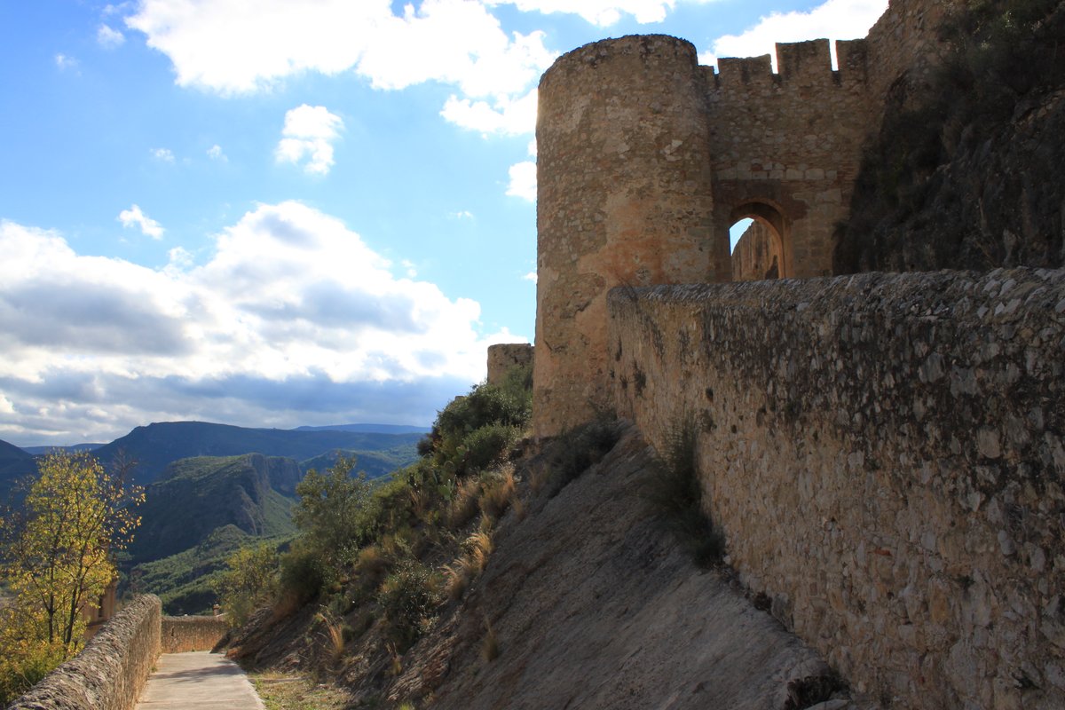

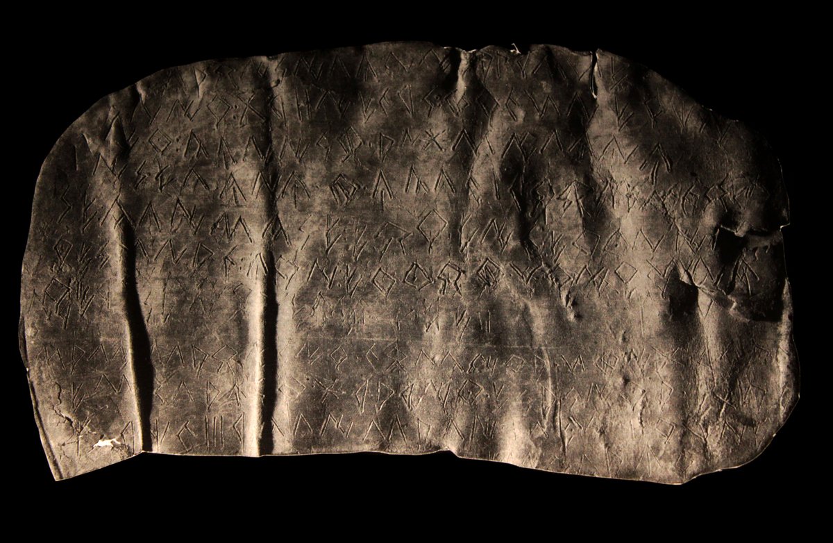
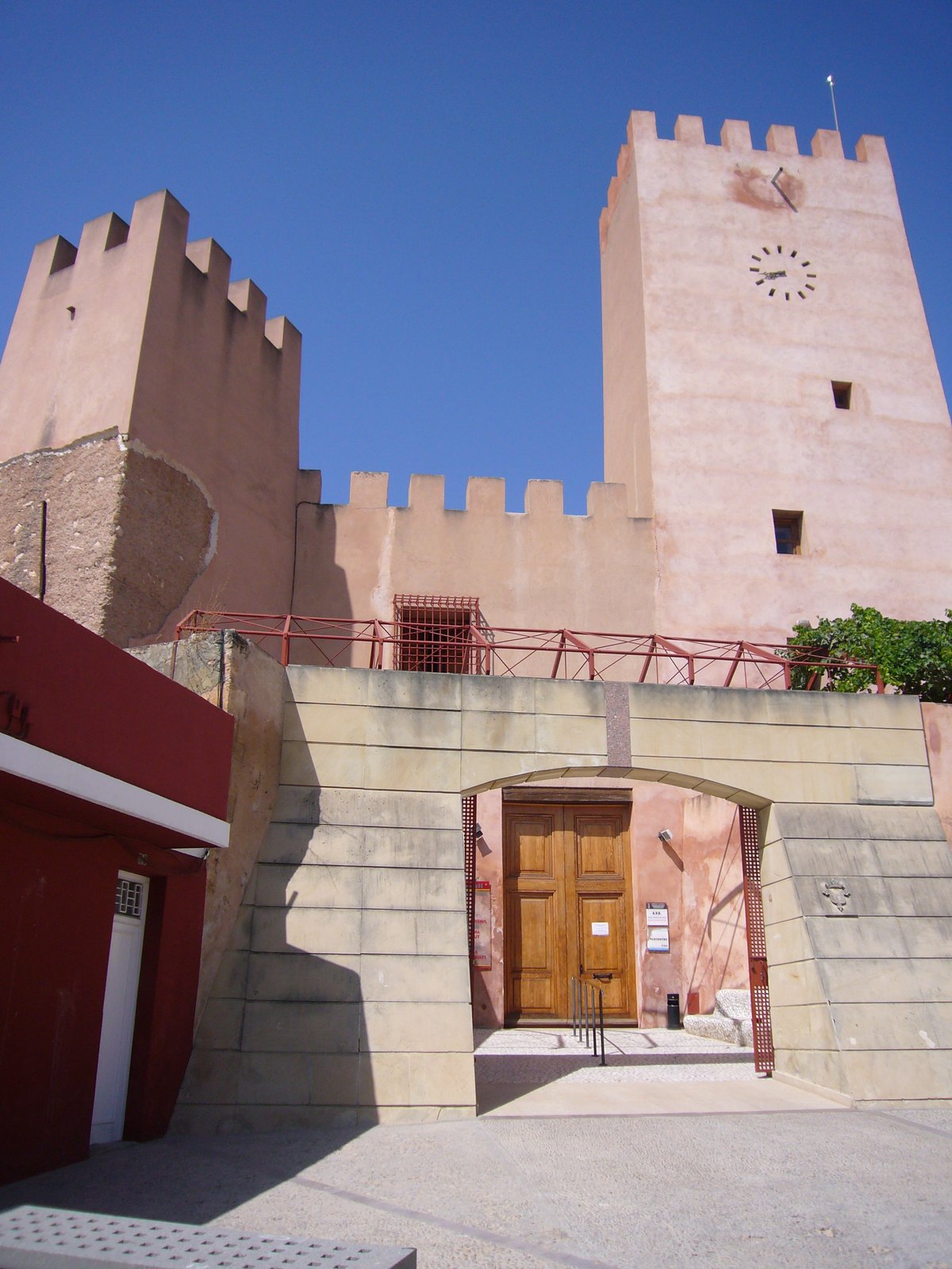
The Castillo de Chulilla overlooks the town from its commanding hilltop position. It serves as the original heart of the settlement and offers a physical map of the region’s major historical shifts. We can trace its lineage back through the Roman era and the Islamic period into the subsequent Christian conquests.
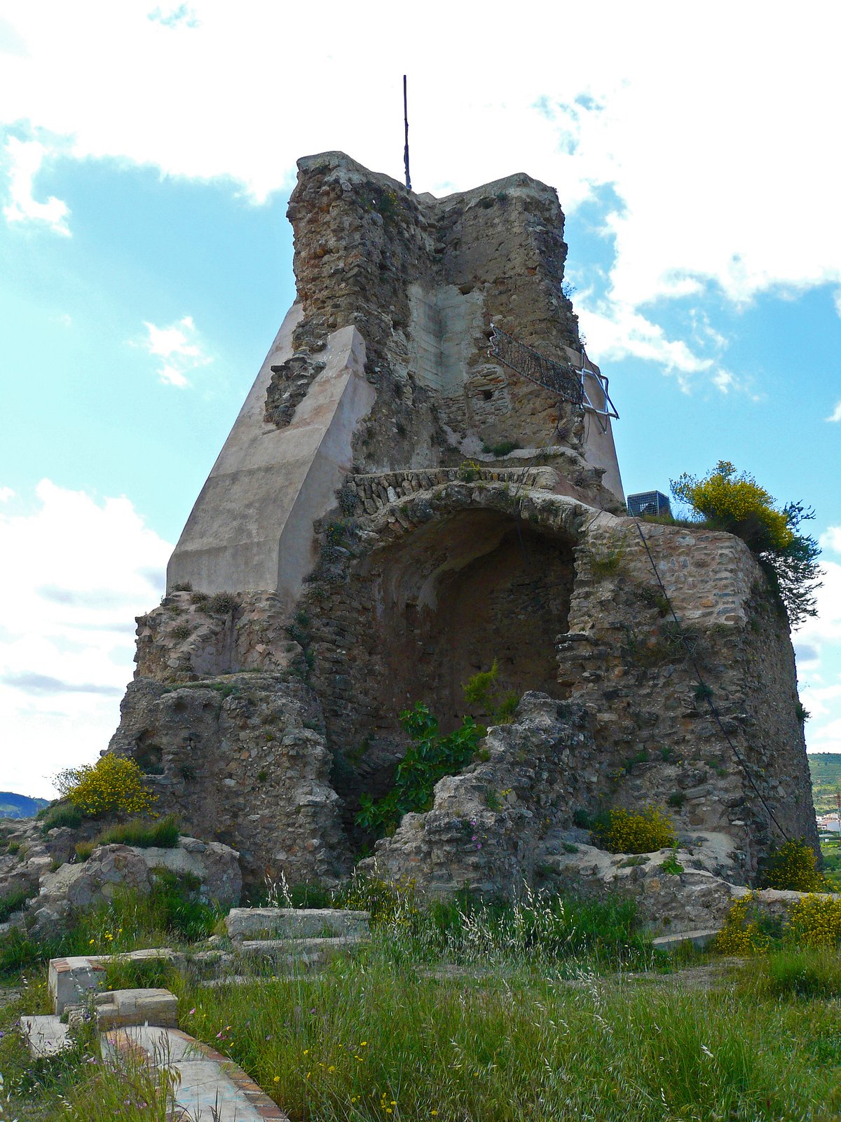
During the Muslim era, the site functioned as a hisn. This fortification included masonry walls, rammed earth structures, and a tower with a base reservoir. It acted as a crucial control point for communication routes across the valley while providing a safe haven for nearby villages. It stood as one of the most important fortresses in the area alongside the castle of Alpuente.
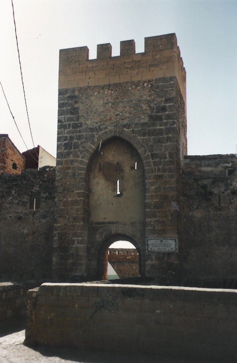
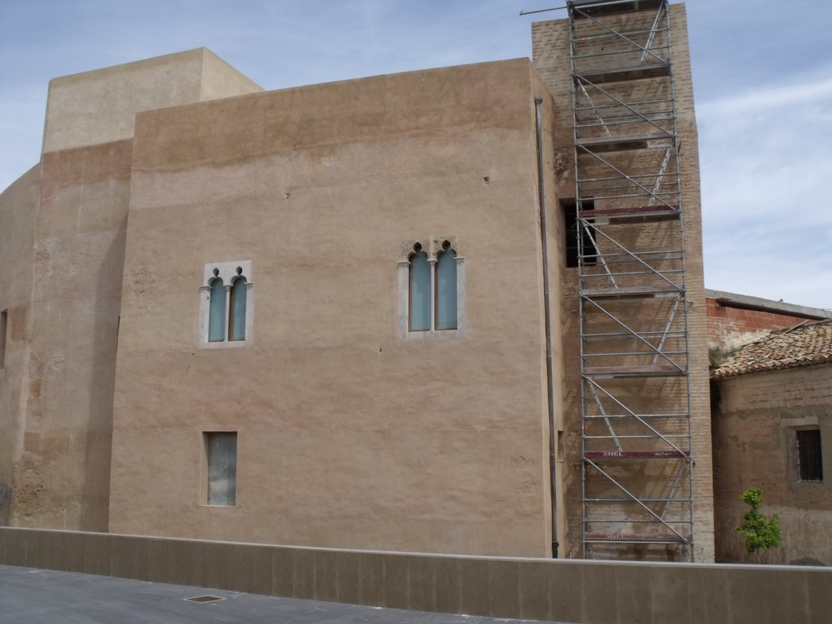
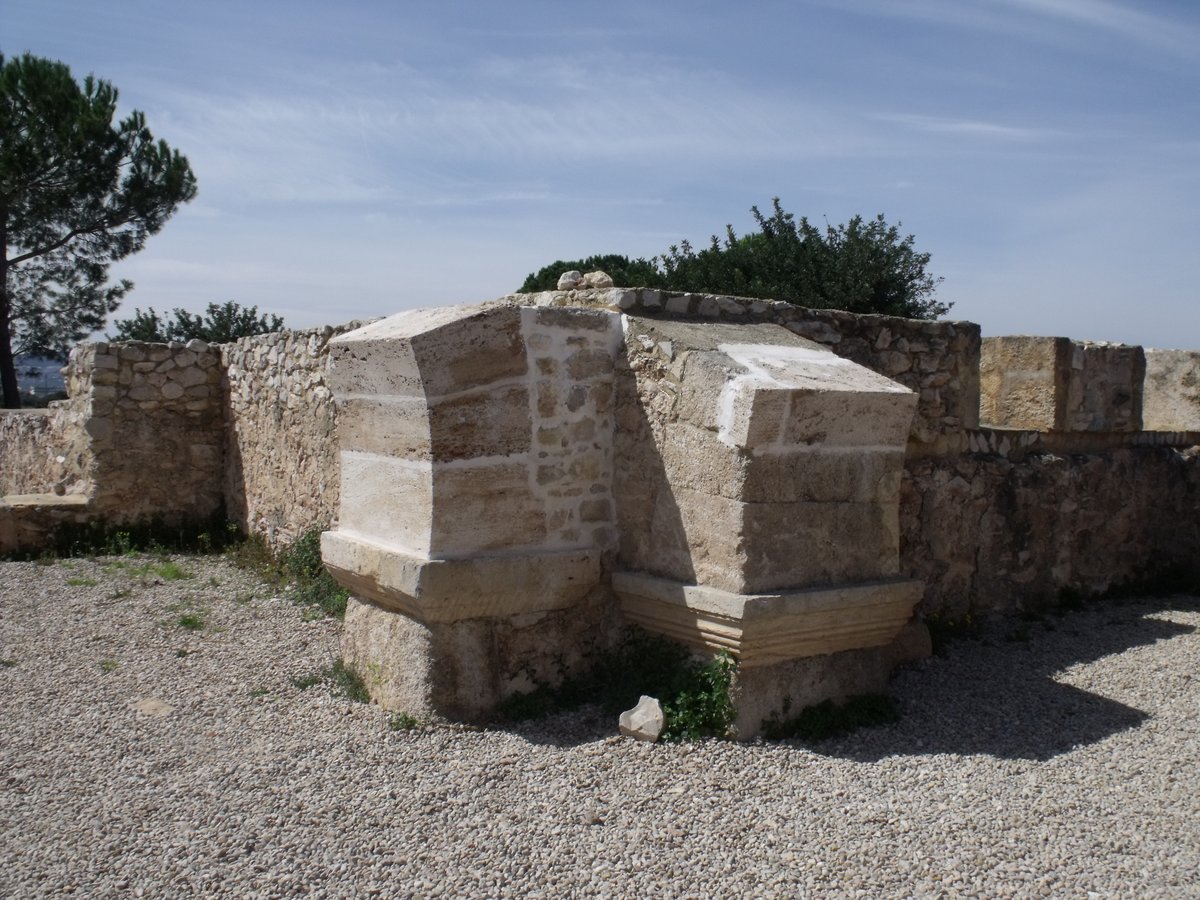
The landscape changed again following the Reconquista. Throughout the 14th and 16th centuries, the site underwent massive reforms. It transformed from a military outpost into a seigneurial residence and eventually became a prison for members of the clergy. We can still observe the complexity of the curtain wall, the barbican tower, the circular bastion, and the vaulted dependency.
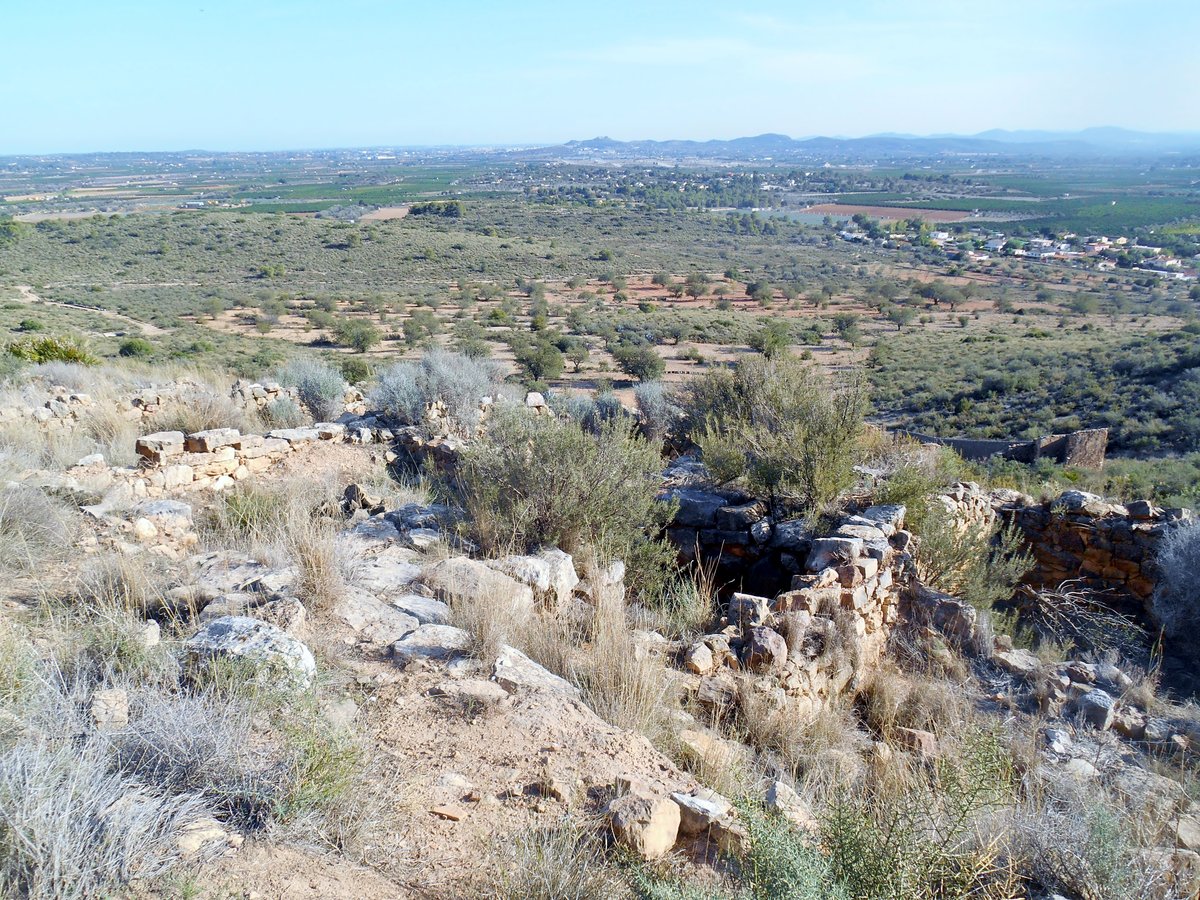
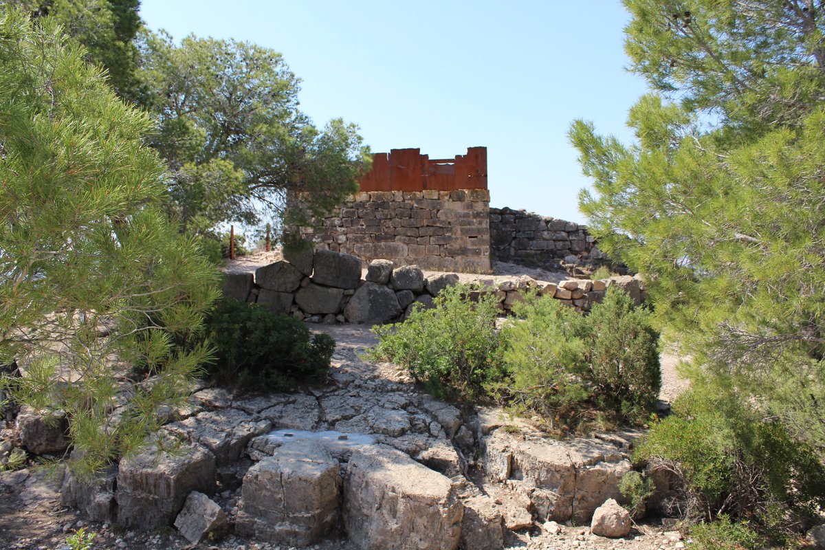
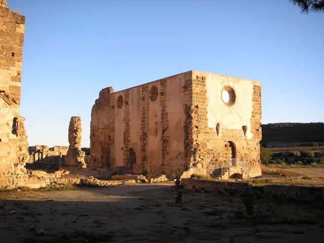
The fortress began its definitive decay during the Carlist Wars of the 19th century. It supported the Carlist cause on three separate occasions before a government army siege broke the structure. Today, we can still explore the visible ruins of the manor, the towers, and four remaining water reservoirs known as aljibes.
Sources: Wikipedia, OpenStreetMap, Wikidata, Wikimedia Commons
Written by Nik Frost
Discuss this with the author and others
No comments yet. Be the first to start the conversation.